Col des Annes from Le Reposoir - Hiking
Add to my favorites

Caution! Zone of vigilance near the route
SOMMIER D'AVAL - du 15/05/2026 au 30/09/2026 Upcoming
COL DES ANNES TROIS - du 01/06/2026 au 30/10/2026 Upcoming
Route closed
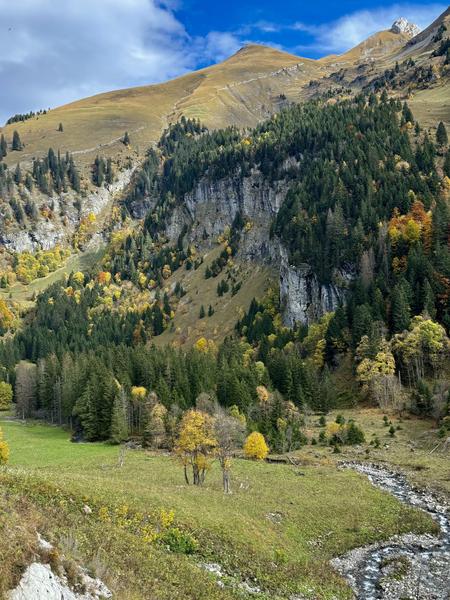
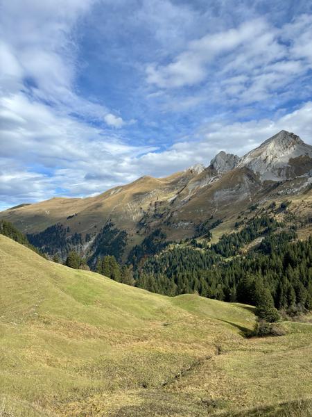
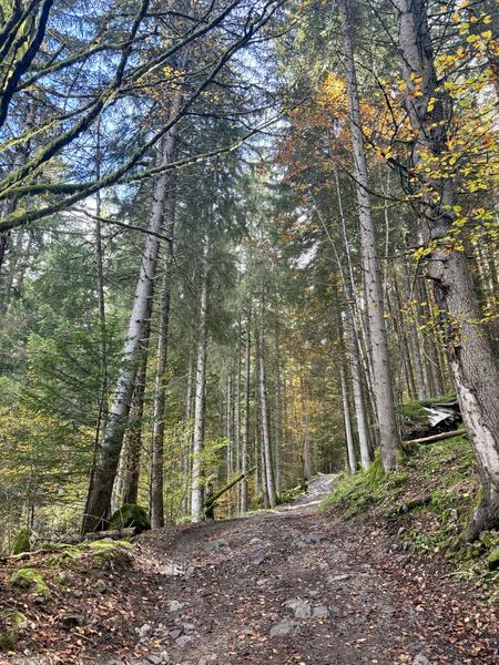
A hike with beautiful views and, at the finish, a panorama of the Pointe Percée. The hike is long but not technical. At the finish, a typical Haut-Savoyard restaurant awaits you.
The characteristics of the route.

Le Reposoir (74)
- Distance 9.67 km
- Elevation gain 630 m
- Elevation lost 630 m
- Min. elevation 1099 m
- Max. elevation. 1723 m
- Duration (depending on pace) 3h30
- Marking Yes
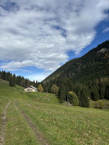
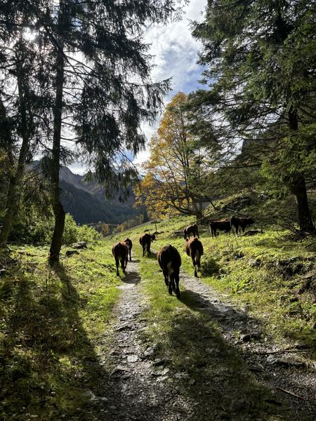
Topo step by step: From the La Lanche parking lot, take the wide path up to “Col des Annes”. Follow it to the first intersection, where you again follow the signs for “Col des Annes”. Pass the Sommier d'Aval farm and continue on. You then enter a private property, continue past a building and climb up to a scree slope. Cross the scree and take the path on the left. Further up, you cross a stream, then come to the last intersection, where you climb to the right towards Col des Annes. Follow the path until you reach the Col.
Return by the same route.Topo step by step: From the La Lanche parking lot, take the wide path up to “Col des Annes”. Follow it to the first intersection, where you again follow the signs for “Col des Annes”. Pass the Sommier d'Aval farm and continue on. You then enter a private property, continue past a building and climb up to a scree slope. Cross the scree and take the path on the left. Further up, you cross a stream, then come to the last intersection, where you climb to the right towards Col des Annes. Follow the path until you reach the Col. Return by the same route.Equipments : Free car park, Car park, Admission fee : Free access.Opening : Closed temporarily.
Return by the same route.Topo step by step: From the La Lanche parking lot, take the wide path up to “Col des Annes”. Follow it to the first intersection, where you again follow the signs for “Col des Annes”. Pass the Sommier d'Aval farm and continue on. You then enter a private property, continue past a building and climb up to a scree slope. Cross the scree and take the path on the left. Further up, you cross a stream, then come to the last intersection, where you climb to the right towards Col des Annes. Follow the path until you reach the Col. Return by the same route.Equipments : Free car park, Car park, Admission fee : Free access.Opening : Closed temporarily.
Area : Cluses Arve & Montagnes
Report a problem
Add your time and share your feelings


Information updated on 2026-04-29 by Cluses Arve & montagnes Tourisme


Follow us on
the digital trails
the digital trails


![]()
Infos & contacts
Flaine Tourist Office
Tél. +33 (0)4 50 90 80 01
Les Carroz sports club
sports@aracheslafrasse.fr - Tél. +33 (0)4 50 90 24 80
Cluses Arve & montagnes Tourist Office
Tél. +33 (0)4 50 96 69 69
 Espace Trail Flaine - Les Carroz - Cluses Arve et Montagnes - Parcours - Col des Annes from Le Reposoir - Hiking
Hello, world! This is a toast message.
Espace Trail Flaine - Les Carroz - Cluses Arve et Montagnes - Parcours - Col des Annes from Le Reposoir - Hiking
Hello, world! This is a toast message.
Espace Trail Flaine - Les Carroz - Cluses Arve et Montagnes - Parcours - Col des Annes from Le Reposoir - Hiking
Hello, world! This is a toast message.


OK
Annuler