2-day walking circuit around Saint-Sigismond - Stage 2
Add to my favorites

Caution! Zone of vigilance near the route
Boucle du Chevran - du 31/10/2025 au 30/10/2026 In progress
Route opened
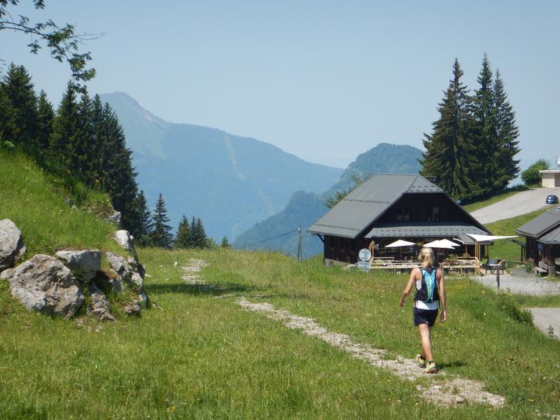
The day begins with a leisurely descent from Chevran along a different trail, offering you new views. You'll make your way back down to the valley, taking in the beauty of the scenery, before returning to your starting point.
The characteristics of the route.
Saint-Sigismond (74)
- Distance 10.5 km
- Elevation gain 530 m
- Elevation lost 950 m
- Min. elevation 495 m
- Max. elevation. 1188 m
- Duration (depending on pace) 4h20
- Marking Yes
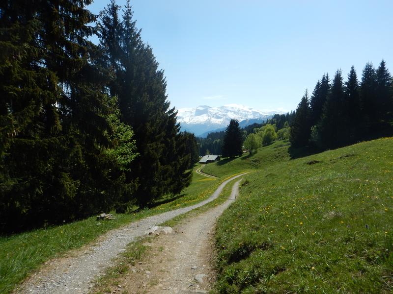
On the second day, you'll take a different path back down to the valley, offering new views of the Chevran. A pleasant descent in the heart of nature, taking you gently back to the starting point, while enjoying the soothing and varied scenery of this beautiful loop.Reach the finish point of stage 1: ‘Croix du Chêne’.
From Croix du Chêne to Pont de la Motte:
Follow the signs for ‘Pont de la Motte’: this is a downhill path that crosses the main road and then the local road as far as ‘Chez Bouvier’. From here, follow the route from stage 1 in the opposite direction as far as Pont de la Motte.
From Pont de la Motte to Cluses :
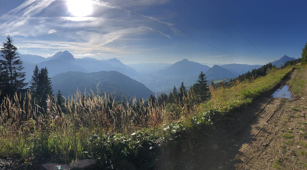
Follow the signs for Panorama du Chevran until you reach it: enjoy the view over the Arve valley. Then retrace your steps to reach the ‘Alpage de Chevran’ signpost. From here, start your final descent towards ‘Montoulivet (Cluses) par Le May (Ruine)’. You'll come to the same intersection as on the first day: join the Boulevard du Chevran and turn left. Cross the Chemin de Fer, take the Rue du 8 Mai, walk past the chocolate factory and you'll see the tourist office: the arrival point.Admission fee : Free access. There is no charge for the loop itself, just for accommodation (gîtes, refuges, hotels) and services (accompanied by a mountain professional).
Hiking guide on sale at the tourist office.Opening : From 15/04 to 01/11.
Subject to favorable snow and weather conditions.
Area : Cluses Arve & Montagnes
Report a problem
Website THIS ROUTE IN YOUR MOBILE PHONE
Download Flaine Carroz 2ccam Outdoor app
Get all the routes on your smartphone with Flaine Carroz 2ccam Outdoor app. You'll find a host of functions :
- Take advantage of detailed IGN maps
- Download data for consultation even when you're not connected to the network
- Geolocate yourself at any time on the route and altimeter profile
- Activate the off-track alarm to be alerted if you stray from the itinerary
- Find nearby services
- Share your experience (add a report, share your lap time)...

Add your time and share your feelings


Information updated on 2025-02-20 by Conseil Départemental de la Haute-Savoie


Follow us on
the digital trails
the digital trails




Infos & contacts
Flaine Tourist Office
Tél. +33 (0)4 50 90 80 01
Les Carroz sports club
sports@aracheslafrasse.fr - Tél. +33 (0)4 50 90 24 80
Cluses Arve & montagnes Tourist Office
Tél. +33 (0)4 50 96 69 69
 Espace Trail Flaine - Les Carroz - Cluses Arve et Montagnes - Parcours - 2-day walking circuit around Saint-Sigismond - Stage 2
Hello, world! This is a toast message.
Espace Trail Flaine - Les Carroz - Cluses Arve et Montagnes - Parcours - 2-day walking circuit around Saint-Sigismond - Stage 2
Hello, world! This is a toast message.
Espace Trail Flaine - Les Carroz - Cluses Arve et Montagnes - Parcours - 2-day walking circuit around Saint-Sigismond - Stage 2
Hello, world! This is a toast message.


OK
Annuler