
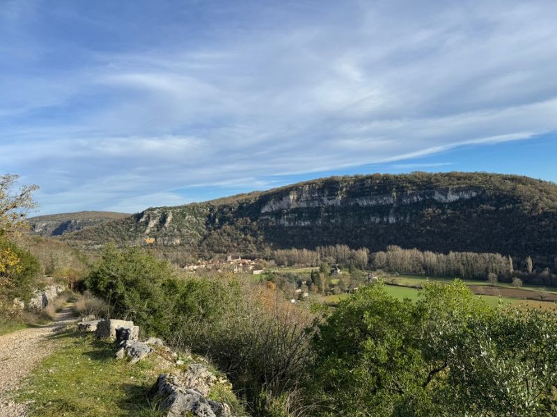
Right from the exit of the village of Marcilhac-sur-Célé, the trail climbs along beautiful tracks and singletracks, alternating between wooded areas and more open sections offering stunning views over the Célé valley. You reach the causse and make your way along its typical dry-stone walls on flowing yet sometimes slightly technical terrain—perfect for trail running.
The causse reveals its treasures: stone huts (caselles), sinkholes (igues), and dolmens, before you take on the long descent after Pailhès, which brings you back to the starting point.

- Distance 8.19 km
- Elevation gain 226 m
- Elevation lost 226 m
- Min. elevation 149 m
- Max. elevation. 306 m
- Duration (depending on pace) 0h50 à 1h45
- Suivre le balisage n°1 green

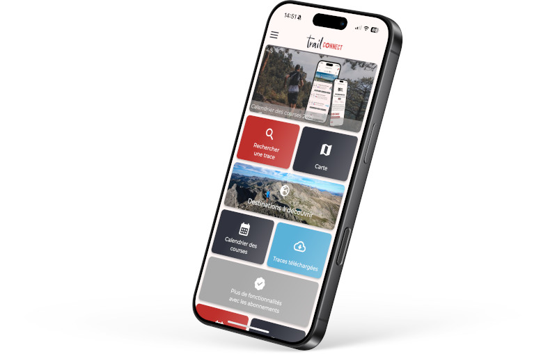
Find all the routes of the Grand Figeac Trail Area for free on your smartphone thanks to the Trail Connect app.
In the app, open the "Destinations to discover" section and select your Trail Area.
Available features:
- Geolocation at any time on the map and elevation profile
- Display of IGN maps
- Download data for access, including offline mode
- Check trail opening status
- Display points of interest near the route
- GPX export
- Route sharing
- "Navigate to start" button for easy access to the beginning of the route



the digital trails



 Espace Trail du Grand-Figeac - Parcours - N°1 - The stone huts of Marcilhac
Espace Trail du Grand-Figeac - Parcours - N°1 - The stone huts of Marcilhac
Espace Trail du Grand-Figeac - Parcours - N°1 - The stone huts of Marcilhac
Espace Trail du Grand-Figeac - Parcours - N°1 - The stone huts of Marcilhac
Espace Trail du Grand-Figeac - Parcours - N°1 - The stone huts of Marcilhac

