N°18 - De pierres et d'eau
Add to my favorites

Route opened
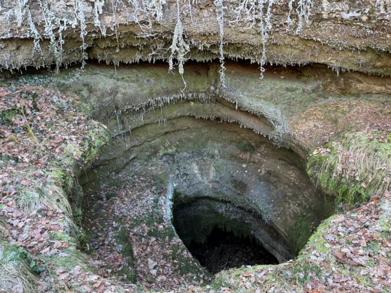
Starting from the village of Puyjourdes, this loop circuit explores contrasting terrain. Between deep valleys, open pechs, and small, characterful hamlets, the route offers a beautiful variety of landscapes and a rolling profile. A short out-and-back section at mid-route allows you to visit the impressive Gouffre de l’Oule. The return to Puyjourdes follows a series of small climbs and flat sections, in a calm and wild setting.
Cani-trail
Water point: Oule stream below the route. Alternating open landscapes and shaded sections.
The characteristics of the route.

Puyjourdes (46)
- Distance 12.15 km
- Elevation gain 340 m
- Elevation lost 340 m
- Min. elevation 224 m
- Max. elevation. 391 m
- Duration (depending on pace) 1h10 à 2h30
- Suivre le balisage n°18 blue

Report a problem
Find all the routes of the Grand Figeac Trail Area for free on your smartphone thanks to the Trail Connect app.
In the app, open the "Destinations to discover" section and select your Trail Area.
Available features:
- Geolocation at any time on the map and elevation profile
- Display of IGN maps
- Download data for access, including offline mode
- Check trail opening status
- Display points of interest near the route
- GPX export
- Route sharing
- "Navigate to start" button for easy access to the beginning of the route

Add your time and share your feelings



Follow us on
the digital trails
the digital trails



 Espace Trail du Grand-Figeac - Parcours - N°18 - De pierres et d'eau
Hello, world! This is a toast message.
Espace Trail du Grand-Figeac - Parcours - N°18 - De pierres et d'eau
Hello, world! This is a toast message.
Espace Trail du Grand-Figeac - Parcours - N°18 - De pierres et d'eau
Hello, world! This is a toast message.


OK
Annuler