N°70 : Boucle autour de Chalais
Add to my favorites

Caution! Zone of vigilance near the route
Faucon pèlerin - du 01/02/2026 au 30/06/2026 In progress
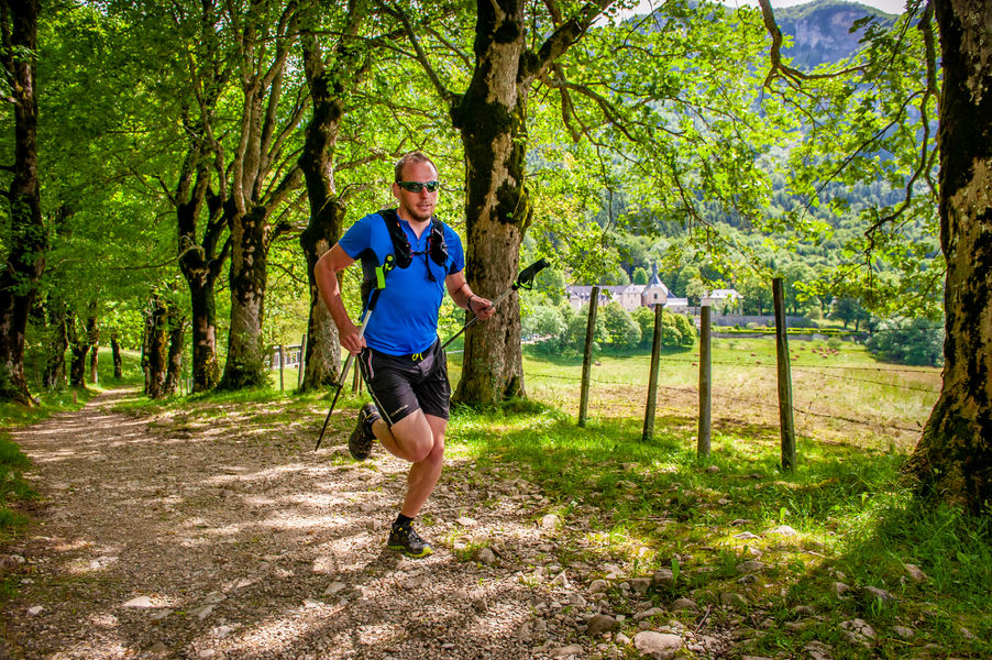
Au départ du monastère, ce parcours mènera les trailers dans un premier temps dans la vallée avant de remonter depuis Gachetière jusqu'à l'Aiguille de Chalais.
Circuit déconseillé en cas d’enneigement.
The characteristics of the route.
Voreppe (38)
- Distance 16.3 km
- Elevation gain 1060 m
- Elevation lost 1060 m
- Min. elevation 207 m
- Max. elevation. 1054 m
- Marking Yes
Equipments : Parking, Admission fee : Free access.Opening : All year round.
Area : Pays Voironnais
Report a problem
Website Parcours trail n°70 : Boucle autour de Chalais - Roadbook Pdf file Features of the application :
- Location and orientation on detailed maps thanks to the GPS of your smartphone
- Description of routes and points of interest on the route
- Photo gallery by route
- Detailed elevation profile
- Route tracking alert to warn you if you stray from the route
- Send predefined messages by SMS to your contacts
- Emergency module: trigger a call or send an emergency SMS in case of problem
- Agenda: access to events organized in the department
- News: find in the application the latest news on the web portal
- Adding achievements
- Add reports in case of problems encountered on the routes
- Share on social networks
Add your time and share your feelings
Services nearby

Col de Porte
Sarcenas

Sappey-en-Chartreuse Tourist Information Center
Le Sappey-en-Chartreuse
Sassenage Tourist Information Center
Sassenage
Pays Voironnais Tourist Office, Voiron information office
Voiron
Location de matériel au foyer de ski de fond
Saint-Pierre-de-Chartreuse


Information updated on 2023-07-18 by Office de Tourisme du Pays Voironnais


Follow us on
the digital trails
the digital trails


![]()
The Isère Outdoor application was created
by the Département de l'Isère
Infos & contact
Conseil départemental de l'Isère
7 rue Fantin Latour
CS 41096
38 022 Grenoble cedex 1
Tel. 04 76 00 38 38
 Isère Outdoor - Parcours - N°70 : Boucle autour de Chalais
Hello, world! This is a toast message.
Isère Outdoor - Parcours - N°70 : Boucle autour de Chalais
Hello, world! This is a toast message.
Isère Outdoor - Parcours - N°70 : Boucle autour de Chalais
Hello, world! This is a toast message.


OK
Annuler