Itinéraire Cyclo Bramefarine
Add to my favorites


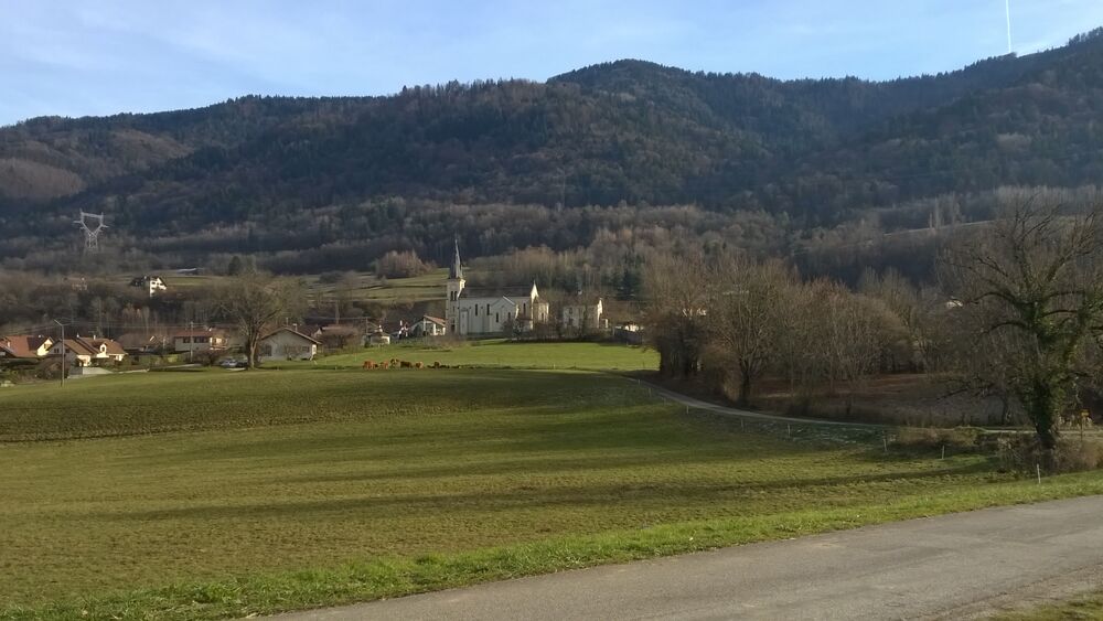
Itinéraire Cyclo Bramefarine
Pontcharra - Allevard - Le Cheylas
Boucle : niveau intermédiaire
The characteristics of the route.

Pontcharra (38)
- Distance 35.5 km
- Elevation gain 720 m
- Elevation lost 720 m
- Min. elevation 255 m
- Max. elevation. 655 m
- Marking No
Features of the application :
- Location and orientation on detailed maps thanks to the GPS of your smartphone
- Description of routes and points of interest on the route
- Photo gallery by route
- Detailed elevation profile
- Route tracking alert to warn you if you stray from the route
- Send predefined messages by SMS to your contacts
- Emergency module: trigger a call or send an emergency SMS in case of problem
- Agenda: access to events organized in the department
- News: find in the application the latest news on the web portal
- Adding achievements
- Add reports in case of problems encountered on the routes
- Share on social networks
Add your time and share your feelings
Services nearby

Bureau d'information Touristique Pontcharra
Pontcharra
Bureau d'Information Touristique d'Allevard-les-Bains
Allevard-les-Bains
Service animation du Bureau d'Information Touristique d'Allevard
Allevard-les-Bains

Allevard Museum
Allevard-les-Bains
Bureau d'Information Touristique du Collet
Le Collet


Information updated on 2022-04-15 by Office de Tourisme de Belledonne Chartreuse


Follow us on
the digital trails
the digital trails


![]()
The Isère Outdoor application was created
by the Département de l'Isère
Infos & contact
Conseil départemental de l'Isère
7 rue Fantin Latour
CS 41096
38 022 Grenoble cedex 1
Tel. 04 76 00 38 38


OK
Annuler