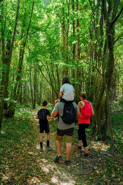
Valley of Hien and King's Forest
Add to my favorites


This hike will offer you a magnificent view of the Mont Blanc chain from the start. You will discover the surrounding mountains at the orientation table. Stop for your picnic at the Belmont landscaped area or at the hunters' cabin.
The characteristics of the route.

Biol (38)
- Distance 16.7 km
- Elevation gain 450 m
- Elevation lost 450 m
- Min. elevation 442 m
- Max. elevation. 680 m
- Duration (depending on pace) 4h30
- Marking Yes
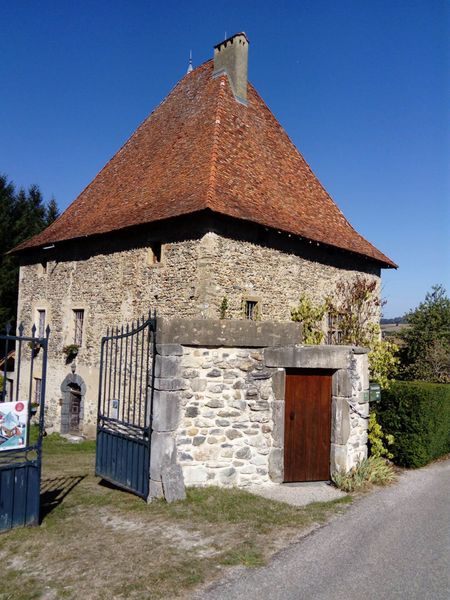
From the Biol Le Haut car park, follow the direction of Reveret and Biol and follow the small stream to the footbridge. Join the D520, cross it carefully and then follow the D51 for 200m to reach the "La Moutonnière" post. Continue straight ahead until you reach Belmont, where you can have a picnic on an area arranged towards a (private) pond. In Belmont, head towards "Bois Bessay" then pass the posts "les Chasseurs", "le Crépon" and "Les Planches" through the Poullins woods and the king's forest. After 1.4km, in the direction of "Les 3 Coches", there is a hunters' cabin (always open, with water, except in winter). After the "Aux Bois" post, go back and forth to the orientation table. Finally, go down the small road to reach the departure car park.Marking : Follow the yellow markings along the route.Equipments : Car park, Good plans : Biol, is a village with a rich heritage with a 15th century fortified house, its washhouse and its halls. In Belmont, admire the fortified houses with their traditional Dauphinois roofs. On the way, you will discover a stele in memory of the Americans' stay during the 2nd World War.Delicate passages : Be careful to cross it from the D520 and along the D51.Admission fee : Free access.Opening : All year round.
Subject to favorable weather.
Area : Vals du Dauphiné
Report a problem Add a comment
Website Pdf file Features of the application :
- Location and orientation on detailed maps thanks to the GPS of your smartphone
- Description of routes and points of interest on the route
- Photo gallery by route
- Detailed elevation profile
- Route tracking alert to warn you if you stray from the route
- Send predefined messages by SMS to your contacts
- Emergency module: trigger a call or send an emergency SMS in case of problem
- Agenda: access to events organized in the department
- News: find in the application the latest news on the web portal
- Adding achievements
- Add reports in case of problems encountered on the routes
- Share on social networks
Add your time and share your feelings
Services nearby

Ecomusée rural
Longechenal
Clog museum
Val-de-Virieu

Tourist information office of La Tour du Pin - Office de Tourisme des Vals du Dauphiné
La Tour-du-Pin
Musée de Bourgoin-Jallieu
Bourgoin-Jallieu
Office de Tourisme CAPI Porte de l'Isère
Bourgoin-Jallieu


Information updated on 2023-06-26 by Isère Attractivité


Follow us on
the digital trails
the digital trails


![]()
The Isère Outdoor application was created
by the Département de l'Isère
Infos & contact
Conseil départemental de l'Isère
7 rue Fantin Latour
CS 41096
38 022 Grenoble cedex 1
Tel. 04 76 00 38 38


OK
Annuler