Bièvre isère - Itinéraire découverte de l’étang du marais
Add to my favorites

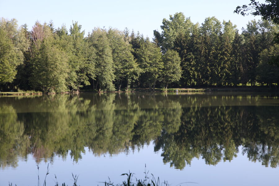
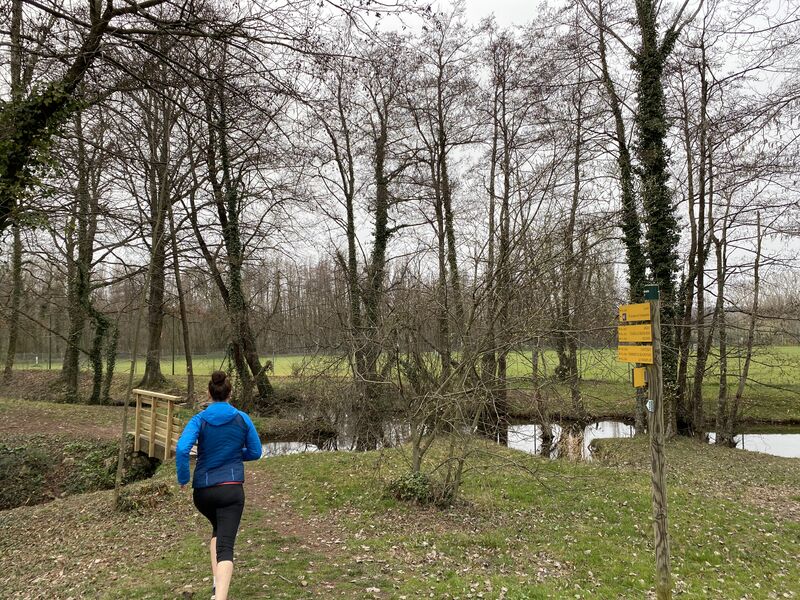
Un parcours tout en douceur permettant de se remettre à courir. Pas de réelles difficultés, à part peut-être en début de parcours la montée de l’ancienne moraine glacière sur laquelle le village est bâti.
The characteristics of the route.

Faramans (38)
- Distance 5.3 km
- Elevation gain 30 m
- Elevation lost 30 m
- Min. elevation 358 m
- Max. elevation. 389 m
- Marking Yes
Equipments : Picnic area, Public WC, Admission fee : Free access.Opening : All year round.
Area : Bièvre Isère
Report a problem
Website Pdf file Features of the application :
- Location and orientation on detailed maps thanks to the GPS of your smartphone
- Description of routes and points of interest on the route
- Photo gallery by route
- Detailed elevation profile
- Route tracking alert to warn you if you stray from the route
- Send predefined messages by SMS to your contacts
- Emergency module: trigger a call or send an emergency SMS in case of problem
- Agenda: access to events organized in the department
- News: find in the application the latest news on the web portal
- Adding achievements
- Add reports in case of problems encountered on the routes
- Share on social networks
Add your time and share your feelings
Services nearby

La Côte-Saint-André Tourist information center
La Côte-Saint-André

Hector berlioz Museum
La Côte-Saint-André
Musée des Liqueurs Cherry-Rocher
La Côte-Saint-André

Espace naturel sensible Les fontaines de Beaufort
Beaufort
Musée de Bressieux
Bressieux


Information updated on 2021-10-08 by Office de Tourisme Terres de Berlioz


Follow us on
the digital trails
the digital trails


![]()
The Isère Outdoor application was created
by the Département de l'Isère
Infos & contact
Conseil départemental de l'Isère
7 rue Fantin Latour
CS 41096
38 022 Grenoble cedex 1
Tel. 04 76 00 38 38
 Isère Outdoor - Parcours - Bièvre isère - Itinéraire découverte de l’étang du marais
Hello, world! This is a toast message.
Isère Outdoor - Parcours - Bièvre isère - Itinéraire découverte de l’étang du marais
Hello, world! This is a toast message.
Isère Outdoor - Parcours - Bièvre isère - Itinéraire découverte de l’étang du marais
Hello, world! This is a toast message.


OK
Annuler