Bièvre Isère - Le Mont d'Avalon
Add to my favorites

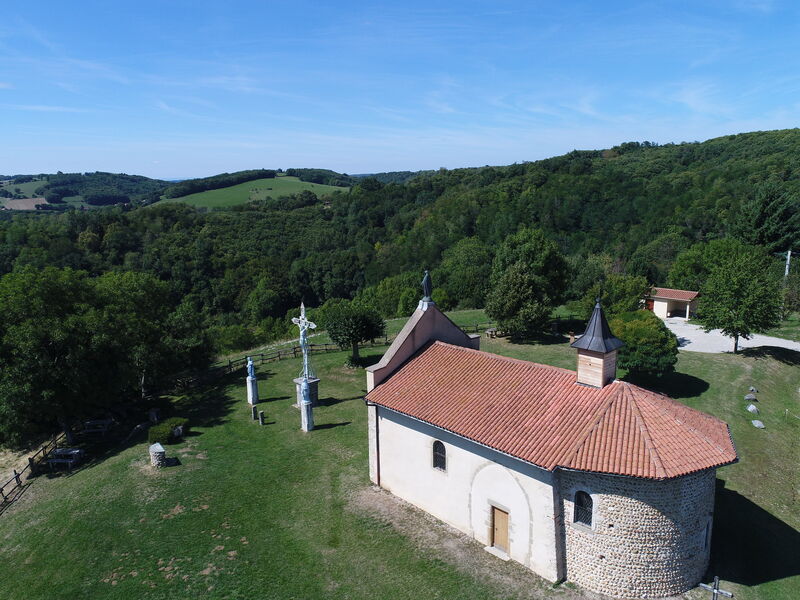
Un parcours remarquable pour ses points de vue sur les Terres de Berlioz, alternant forêts et espaces dégagés.
The characteristics of the route.

Le Mottier (38)
- Distance 13.3 km
- Elevation gain 440 m
- Elevation lost 440 m
- Min. elevation 434 m
- Max. elevation. 644 m
- Marking Yes
Admission fee : Free access.Opening : All year round.
Area : Bièvre Isère
Report a problem Add a comment
Website Pdf file Features of the application :
- Location and orientation on detailed maps thanks to the GPS of your smartphone
- Description of routes and points of interest on the route
- Photo gallery by route
- Detailed elevation profile
- Route tracking alert to warn you if you stray from the route
- Send predefined messages by SMS to your contacts
- Emergency module: trigger a call or send an emergency SMS in case of problem
- Agenda: access to events organized in the department
- News: find in the application the latest news on the web portal
- Adding achievements
- Add reports in case of problems encountered on the routes
- Share on social networks
Add your time and share your feelings
Services nearby

Ecomusée rural
Longechenal
Musée des Liqueurs Cherry-Rocher
La Côte-Saint-André
Hector berlioz Museum
La Côte-Saint-André

La Côte-Saint-André Tourist information center
La Côte-Saint-André
St Etienne de St Geoirs Tourist information center
Saint-Étienne-de-Saint-Geoirs


Information updated on 2021-10-08 by Office de Tourisme Terres de Berlioz


Follow us on
the digital trails
the digital trails


![]()
The Isère Outdoor application was created
by the Département de l'Isère
Infos & contact
Conseil départemental de l'Isère
7 rue Fantin Latour
CS 41096
38 022 Grenoble cedex 1
Tel. 04 76 00 38 38


OK
Annuler