The path of the painters in Proveysieux
Add to my favorites

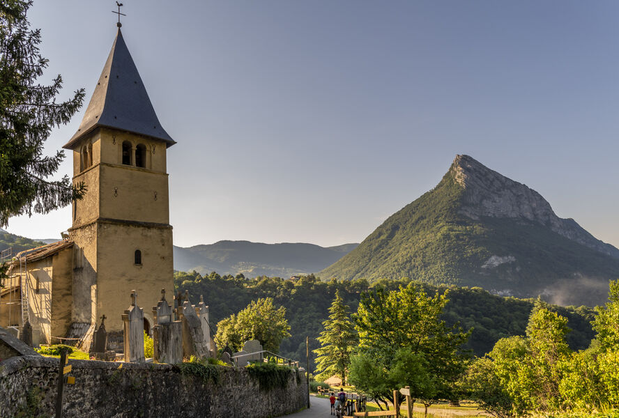
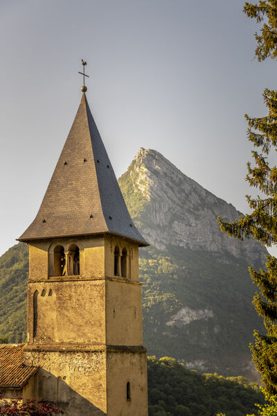
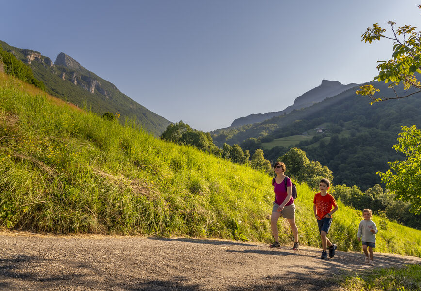
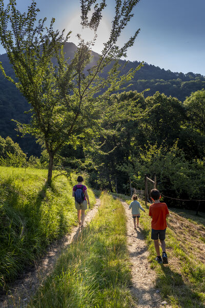
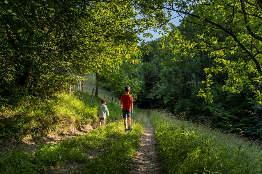
When you see the rural surroundings of this short walk, you will very quickly understand why so many painters from the Proveysieux painting school came here and used the area as inspiration.
The characteristics of the route.

Proveysieux (38)
- Distance 1.8 km
- Elevation gain 100 m
- Elevation lost 100 m
- Min. elevation 426 m
- Max. elevation. 518 m
- Duration (depending on pace) 0h30
- Marking Yes
To the right of the church (alt. 515 m), take the direction of Quaix-en-Chartreuse by a small road going down. You
follow the "sentier des Peintres" and a yellow signpost. The asphalt quickly disappears to give way to a dirt track.
dirt track. Don't take the path that goes to the right and continue straight down.
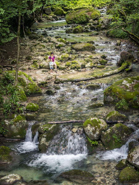
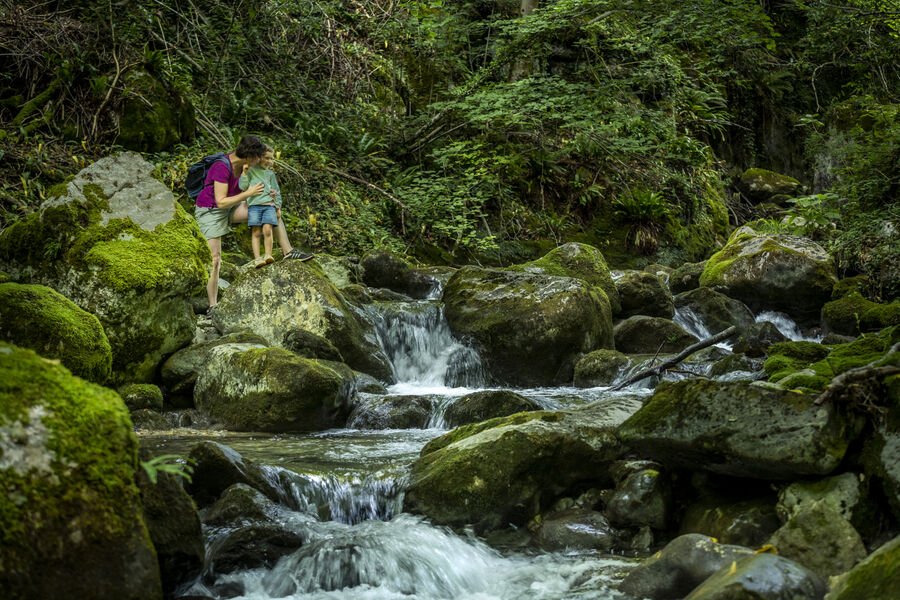
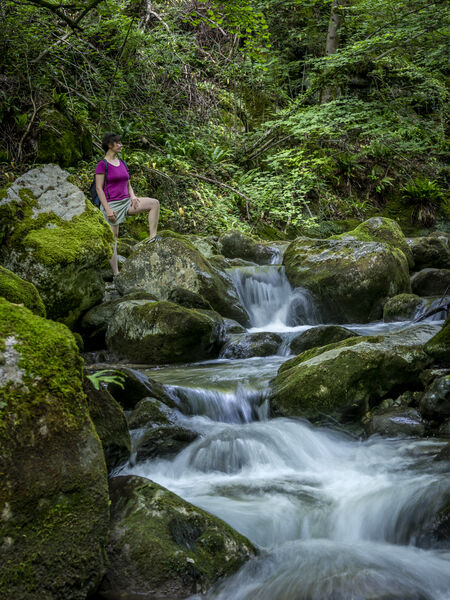
Under an old stone ruin, the path leading to the mill and the river starts on the right. You can go for a walk on this side, but the way up
on that side, but the way back to the village is by the left path. You pass over an old building,
and back in the forest, at the intersection, turn left again following the sign "retour village". You
You will reach a small street in the village which will take you directly to the town hall and the church.
Points of interest:
La Tenaison
The ruins of the mill
The oratory
The Chartreuse Barn
The workshop of Théodore Ravanat (from the outside because private property)
The Auberge des Grandsgouziers (from the outside because private property)
View on the NéronMarking : The trail is signposted by theme, with 7 explanatory stops.Equipments : Defibrillator, Delicate passages : The only difficulty is the steep gradient, but the loop is short and there are plenty of stops (river + theme points).
follow the "sentier des Peintres" and a yellow signpost. The asphalt quickly disappears to give way to a dirt track.
dirt track. Don't take the path that goes to the right and continue straight down.
Under an old stone ruin, the path leading to the mill and the river starts on the right. You can go for a walk on this side, but the way up
on that side, but the way back to the village is by the left path. You pass over an old building,
and back in the forest, at the intersection, turn left again following the sign "retour village". You
You will reach a small street in the village which will take you directly to the town hall and the church.
Points of interest:
La Tenaison
The ruins of the mill
The oratory
The Chartreuse Barn
The workshop of Théodore Ravanat (from the outside because private property)
The Auberge des Grandsgouziers (from the outside because private property)
View on the NéronMarking : The trail is signposted by theme, with 7 explanatory stops.Equipments : Defibrillator, Delicate passages : The only difficulty is the steep gradient, but the loop is short and there are plenty of stops (river + theme points).
Area : Grenoble-Alpes Métropole
Report a problem
Website Pdf file Features of the application :
- Location and orientation on detailed maps thanks to the GPS of your smartphone
- Description of routes and points of interest on the route
- Photo gallery by route
- Detailed elevation profile
- Route tracking alert to warn you if you stray from the route
- Send predefined messages by SMS to your contacts
- Emergency module: trigger a call or send an emergency SMS in case of problem
- Agenda: access to events organized in the department
- News: find in the application the latest news on the web portal
- Adding achievements
- Add reports in case of problems encountered on the routes
- Share on social networks
Add your time and share your feelings
Services nearby

Sappey-en-Chartreuse Tourist Information Center
Le Sappey-en-Chartreuse

Col de Porte
Sarcenas
Sassenage Tourist Information Center
Sassenage
Bastille Tourist Information Center
Grenoble

Mountain Troops Museum
Grenoble


Information updated on 2025-03-10 by Office de Tourisme Grenoble Alpes


Follow us on
the digital trails
the digital trails


![]()
The Isère Outdoor application was created
by the Département de l'Isère
Infos & contact
Conseil départemental de l'Isère
7 rue Fantin Latour
CS 41096
38 022 Grenoble cedex 1
Tel. 04 76 00 38 38
 Isère Outdoor - Parcours - The path of the painters in Proveysieux
Hello, world! This is a toast message.
Isère Outdoor - Parcours - The path of the painters in Proveysieux
Hello, world! This is a toast message.
Isère Outdoor - Parcours - The path of the painters in Proveysieux
Hello, world! This is a toast message.


OK
Annuler