La crête des Sciaux - 23 km - Rouge
Add to my favorites

Caution! Zone of vigilance near the route
Circaète Jean-le-Blanc - du 01/03/2026 au 30/09/2026 In progress
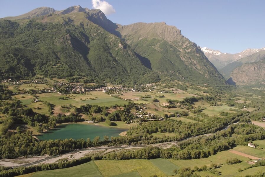
A varied course with a smooth and cool start, an intense climb in two parts and superb views of the Sciaux ridge.
The characteristics of the route.

Valbonnais (38)
- Distance 23.4 km
- Elevation gain 1190 m
- Elevation lost 1190 m
- Min. elevation 682 m
- Max. elevation. 1487 m
- Marking Yes
After 5 km of warm-up, leave the track to take the beginning of the climb towards the ridge through the woods, stopping and water point at Saint Laurent en Beaumont where the following climb is quite long until the top of the ridge. Enjoy during the recovery of superb views over the Valbonnais, Obiou, Matheysine and the Ecrins. Walk along the ridge to the Col du Parquetout before the final descent, steep but clean, to the lake!Admission fee : Free access.Opening : All year round daily.
Area : Matheysine
Report a problem
Website Pdf file Features of the application :
- Location and orientation on detailed maps thanks to the GPS of your smartphone
- Description of routes and points of interest on the route
- Photo gallery by route
- Detailed elevation profile
- Route tracking alert to warn you if you stray from the route
- Send predefined messages by SMS to your contacts
- Emergency module: trigger a call or send an emergency SMS in case of problem
- Agenda: access to events organized in the department
- News: find in the application the latest news on the web portal
- Adding achievements
- Add reports in case of problems encountered on the routes
- Share on social networks
Add your time and share your feelings
Services nearby

Corps tourist office
Corps

Musée Matheysin
La Mure
Heritage House
Pellafol

Foyer de ski de fond du Col d'Ornon
Chantelouve
La Mine Image
La Motte-d'Aveillans


Information updated on 2026-05-29 by Matheysine Tourisme


Follow us on
the digital trails
the digital trails





The Isère Outdoor application was created
by the Département de l'Isère
Infos & contact
Conseil départemental de l'Isère
7 rue Fantin Latour
CS 41096
38 022 Grenoble cedex 1
Tel. 04 76 00 38 38
 Isère Outdoor - Parcours - La crête des Sciaux - 23 km - Rouge
Hello, world! This is a toast message.
Isère Outdoor - Parcours - La crête des Sciaux - 23 km - Rouge
Hello, world! This is a toast message.
Isère Outdoor - Parcours - La crête des Sciaux - 23 km - Rouge
Hello, world! This is a toast message.


OK
Annuler