Plateau d'Emparis
Add to my favorites

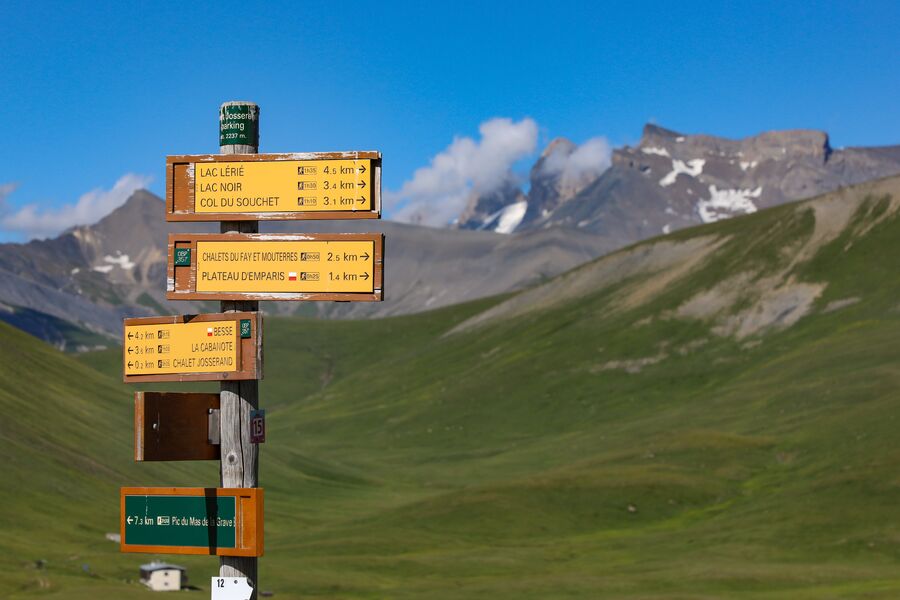
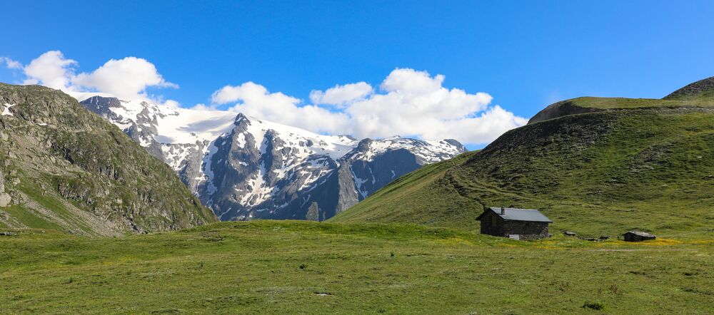
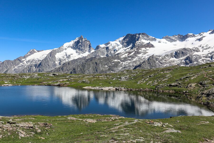
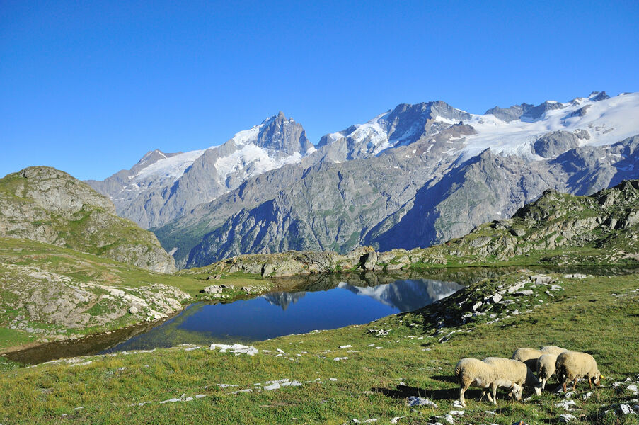
Boucle facile dans le plus grand alpage de France face aux glaciers de la Meije, parmi les lacs cristallins, les troupeaux et la flore d’altitude.
Route labeled FFRandonnée

The characteristics of the route.

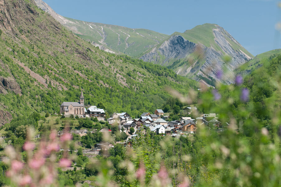
Mizoën (38)
- Distance 7.3 km
- Elevation gain 360 m
- Elevation lost 300 m
- Min. elevation 2188 m
- Max. elevation. 2455 m
- Duration (depending on pace) 3h
- Marking Yes
Equipments : Car park, Admission fee : Free access.Opening : From 01/06 to 31/10.
Subject to favorable snow and weather conditions.
Area : Oisans
Report a problem Add a comment
Website Pdf file Features of the application :
- Location and orientation on detailed maps thanks to the GPS of your smartphone
- Description of routes and points of interest on the route
- Photo gallery by route
- Detailed elevation profile
- Route tracking alert to warn you if you stray from the route
- Send predefined messages by SMS to your contacts
- Emergency module: trigger a call or send an emergency SMS in case of problem
- Agenda: access to events organized in the department
- News: find in the application the latest news on the web portal
- Adding achievements
- Add reports in case of problems encountered on the routes
- Share on social networks
Add your time and share your feelings
Services nearby

Hut Fay
Mizoën
Mountain hut Les Mouterres
Mizoën
Refuge Les Clôts
Mizoën

Pastures Museum
Besse-en-Oisans

Tourist office of le Ferrand
Besse-en-Oisans


Information updated on 2023-07-07 by Isère Attractivité


Follow us on
the digital trails
the digital trails


![]()
The Isère Outdoor application was created
by the Département de l'Isère
Infos & contact
Conseil départemental de l'Isère
7 rue Fantin Latour
CS 41096
38 022 Grenoble cedex 1
Tel. 04 76 00 38 38


OK
Annuler