Le sentier de la résistance
Add to my favorites

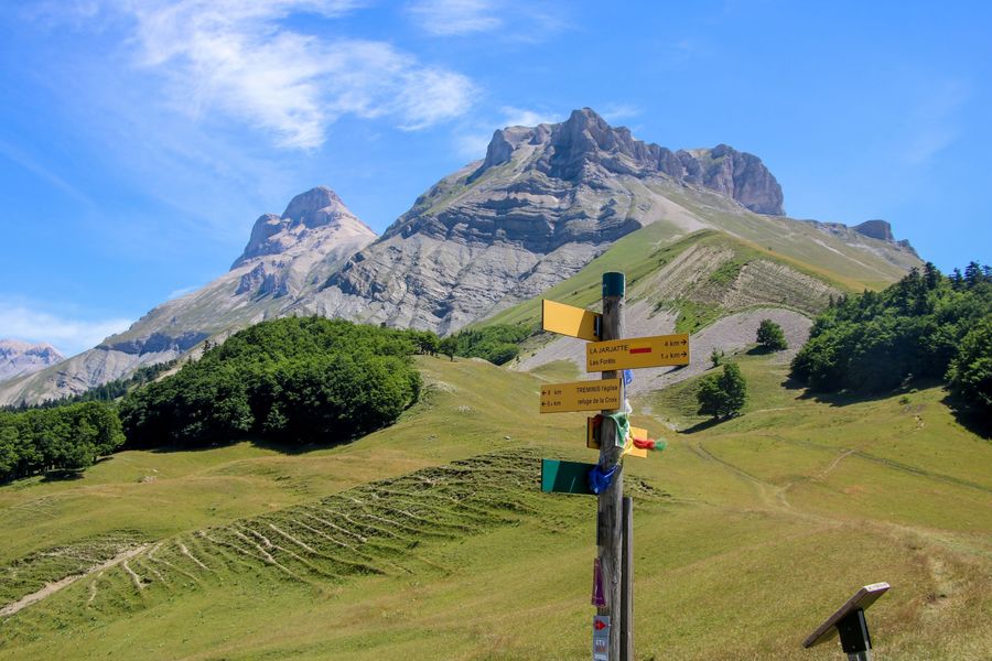
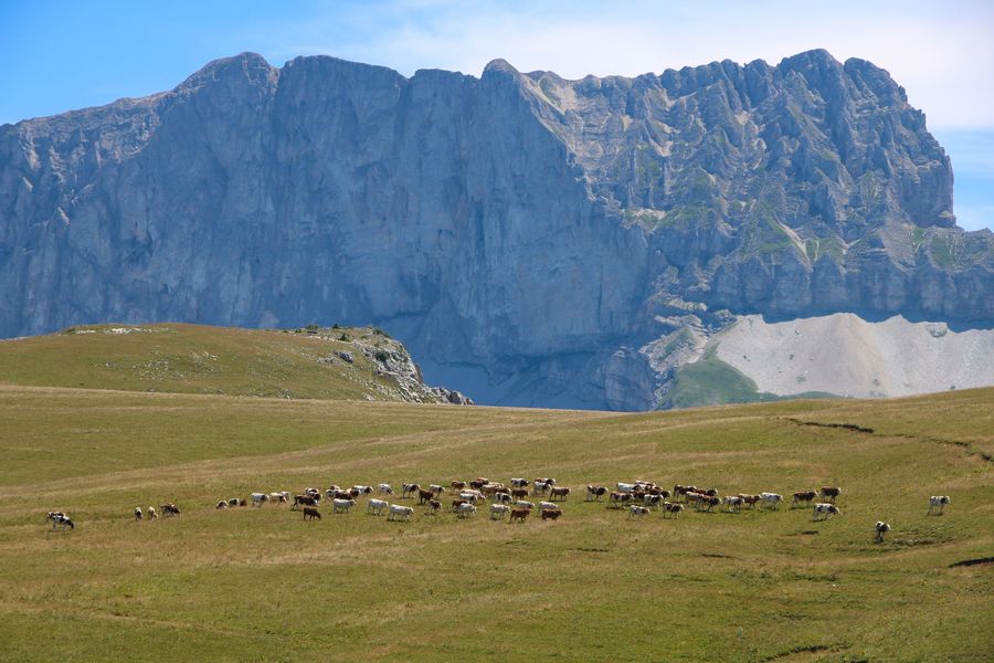
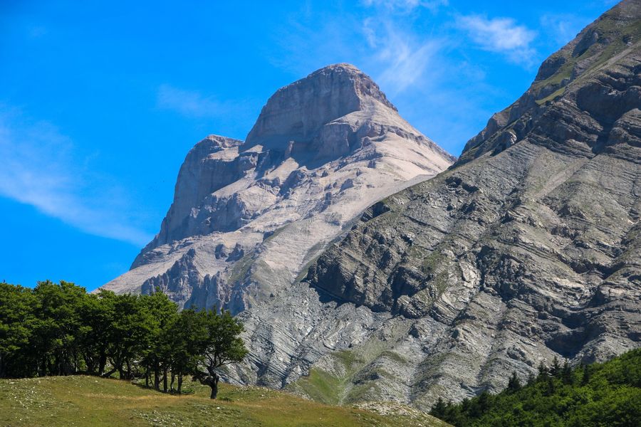
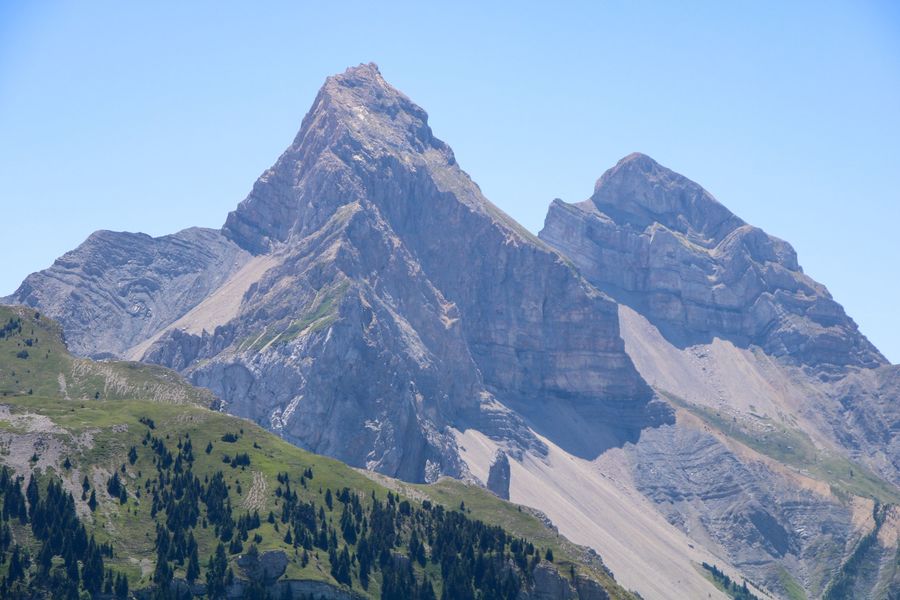
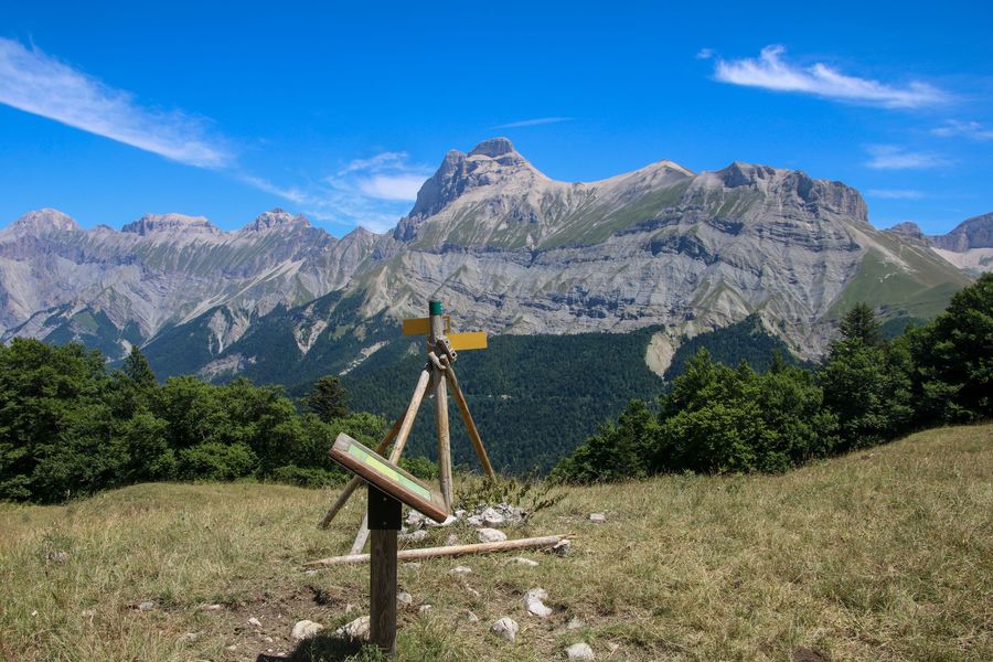
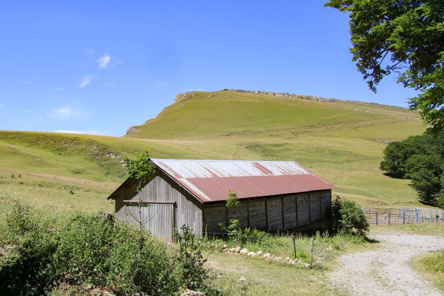
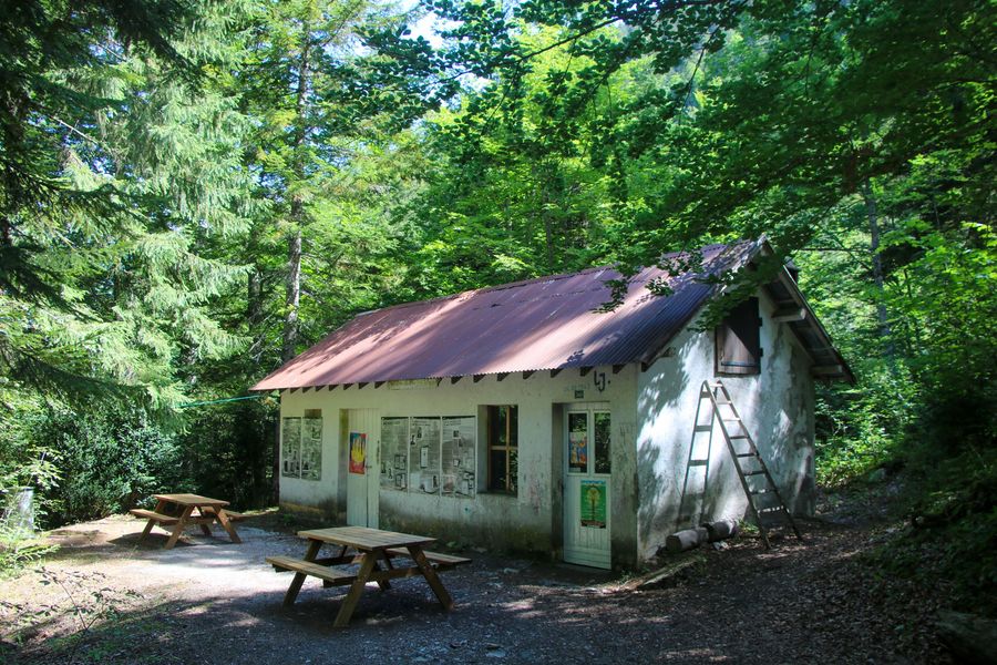
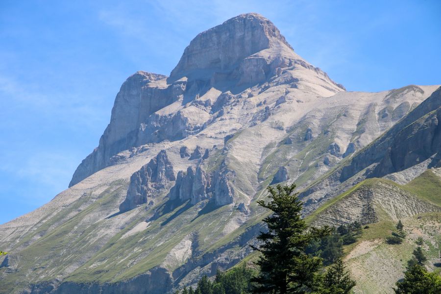
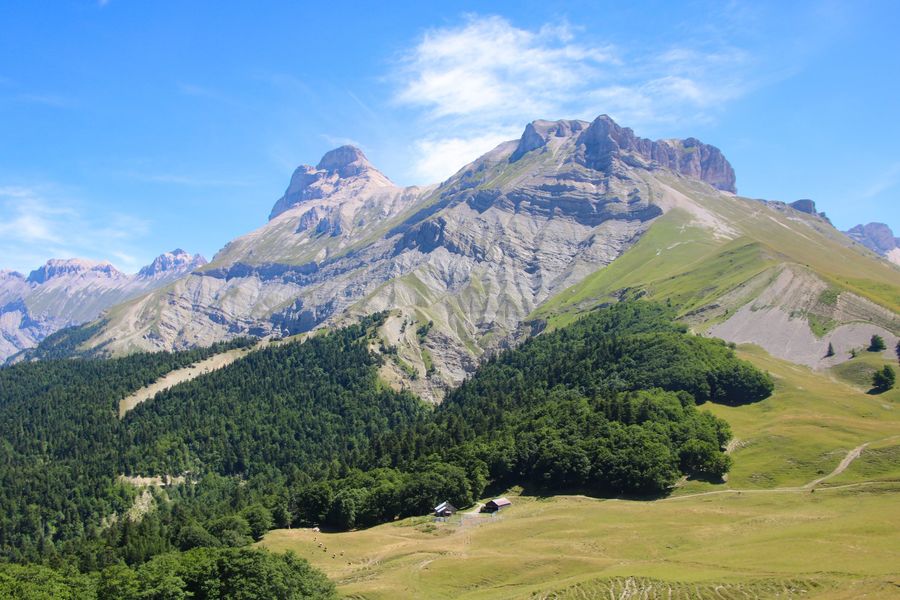
Partez sur les traces des maquisard de Tréminis et suivez l'histoire de la journée du 19 octobre 1943, lorsque le maquis fut attaqué par l'armée allemande. Une boucle agréable et intéressante qui vous fera découvrir le Grand Ferrand sous un nouvel angle.
The characteristics of the route.

Tréminis (38)
- Distance 7.8 km
- Elevation gain 600 m
- Elevation lost 600 m
- Min. elevation 1011 m
- Max. elevation. 1594 m
- Duration (depending on pace) 3h30
- Marking Yes
Admission fee : Free access.Opening : All year round.
Subject to favorable weather.
Area : Trièves
Report a problem Add a comment
Website Pdf file Features of the application :
- Location and orientation on detailed maps thanks to the GPS of your smartphone
- Description of routes and points of interest on the route
- Photo gallery by route
- Detailed elevation profile
- Route tracking alert to warn you if you stray from the route
- Send predefined messages by SMS to your contacts
- Emergency module: trigger a call or send an emergency SMS in case of problem
- Agenda: access to events organized in the department
- News: find in the application the latest news on the web portal
- Adding achievements
- Add reports in case of problems encountered on the routes
- Share on social networks
Add your time and share your feelings
Services nearby

Foyer nordique de Tréminis
Tréminis

Point d'information Tréminis
Tréminis

Espace Giono
Lalley

Espace Naturel Sensible Sources des Gillardes
Pellafol
Bureau d'Informations Touristiques de Mens - Office de Tourisme du Trièves
Mens


Information updated on 2022-09-09 by Office de Tourisme du Trièves


Follow us on
the digital trails
the digital trails


![]()
The Isère Outdoor application was created
by the Département de l'Isère
Infos & contact
Conseil départemental de l'Isère
7 rue Fantin Latour
CS 41096
38 022 Grenoble cedex 1
Tel. 04 76 00 38 38


OK
Annuler