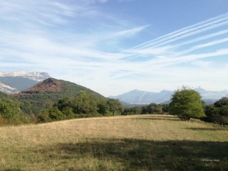
Le petit sentier dans la prairie
Add to my favorites


Partez à la découverte des corridors écologiques : les zones fonctionnelles de passage de la faune (et la flore) entre plusieurs espaces naturels (forêt, cours d'eau, prairies, zone rocheuse...).
Le parcours de Saint-Georges-de-Commiers vous permettra de découvrir et de comprendre les éléments naturels ou artificiels que rencontrent les animaux sauvages dans leur déplacement.
The characteristics of the route.

Saint-Georges-de-Commiers (38)
- Distance 4 km
- Elevation gain 150 m
- Elevation lost 150 m
- Min. elevation 363 m
- Max. elevation. 469 m
Area : Grenoble-Alpes Métropole
Report a problem Add a comment
Features of the application :
- Location and orientation on detailed maps thanks to the GPS of your smartphone
- Description of routes and points of interest on the route
- Photo gallery by route
- Detailed elevation profile
- Route tracking alert to warn you if you stray from the route
- Send predefined messages by SMS to your contacts
- Emergency module: trigger a call or send an emergency SMS in case of problem
- Agenda: access to events organized in the department
- News: find in the application the latest news on the web portal
- Adding achievements
- Add reports in case of problems encountered on the routes
- Share on social networks
Add your time and share your feelings
Services nearby

Musée Champollion
Vif

Musée Autrefois
Champ-sur-Drac

Vizille Tourist Information Center
Vizille

Museum of the French Revolution
Vizille

Atelier Gilioli
Saint-Martin-de-la-Cluze
OK
Annuler


