N°1 : Montée de Vouise
Add to my favorites

Caution! Zone of vigilance near the route
Faucon pèlerin - du 01/02/2026 au 30/06/2026 In progress
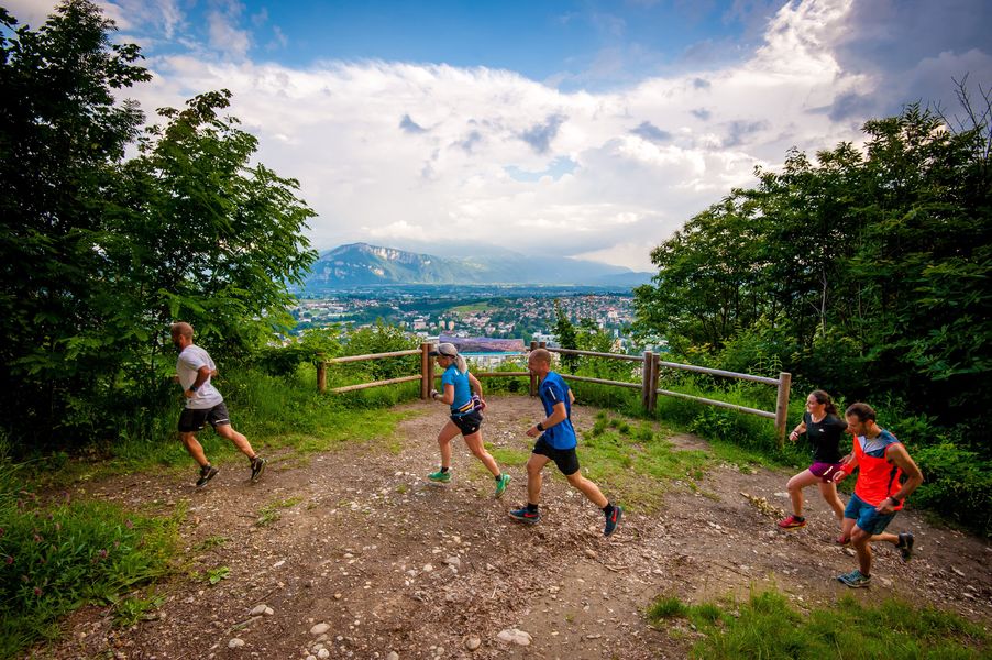
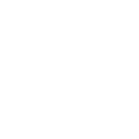
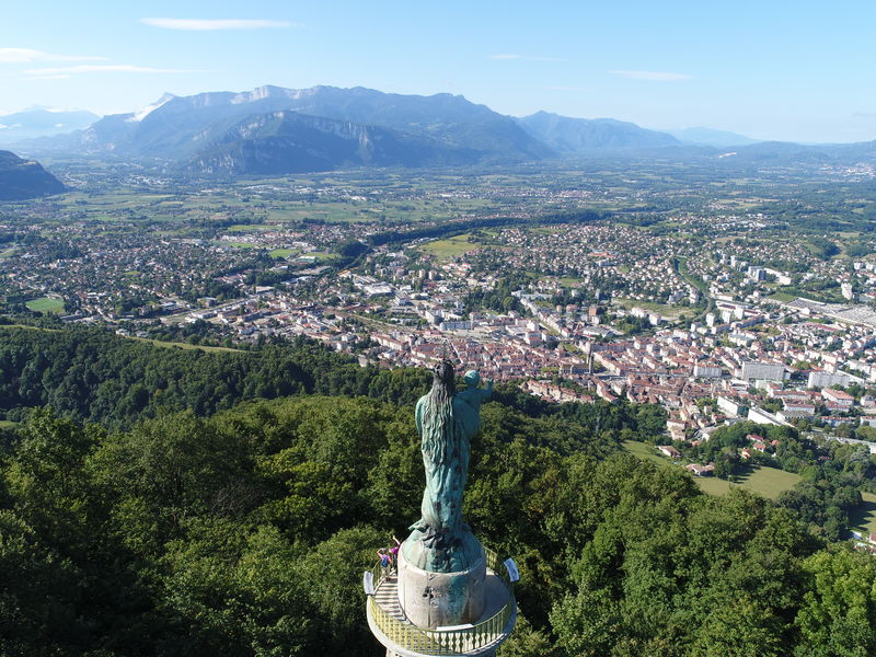
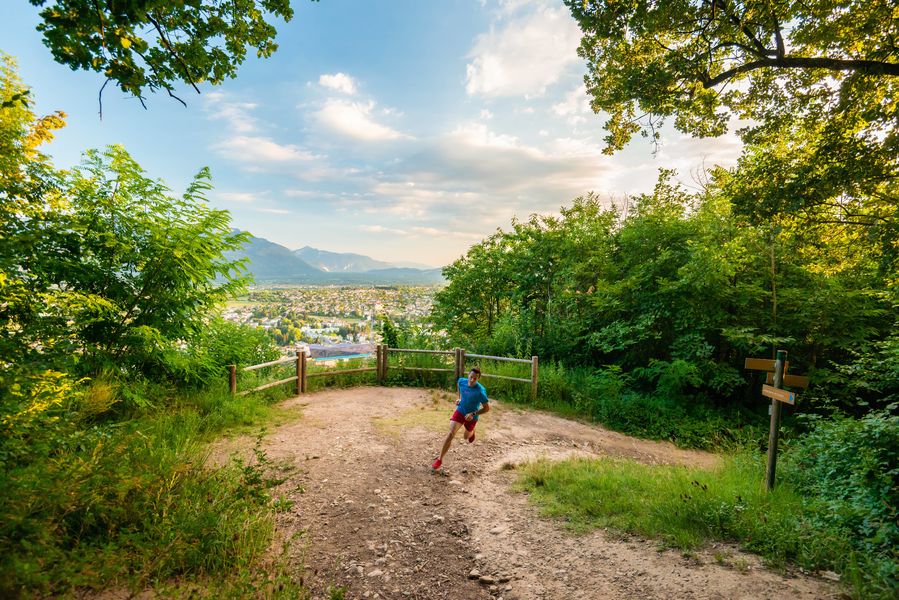
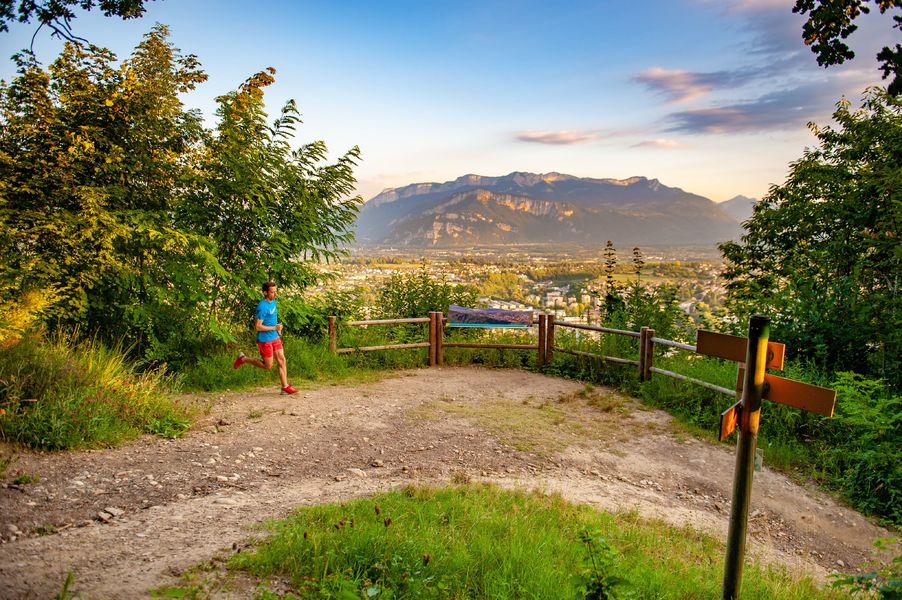
Au départ du centre-ville de Voiron, ce trail urbain durant le premier kilomètre vous mènera ensuite en forêt, avec des sections parfois pentues, jusqu'à la statue de Notre-Dame de Vouise juchée sur une tour : panorama garanti sur la Chartreuse et Voiron.
The characteristics of the route.
Voiron (38)
- Distance 5.86 km
- Elevation gain 440 m
- Elevation lost 440 m
- Min. elevation 290 m
- Max. elevation. 724 m
- Marking Yes
Admission fee : Free access.Opening : All year round.
Area : Pays Voironnais
Report a problem
Features of the application :
- Location and orientation on detailed maps thanks to the GPS of your smartphone
- Description of routes and points of interest on the route
- Photo gallery by route
- Detailed elevation profile
- Route tracking alert to warn you if you stray from the route
- Send predefined messages by SMS to your contacts
- Emergency module: trigger a call or send an emergency SMS in case of problem
- Agenda: access to events organized in the department
- News: find in the application the latest news on the web portal
- Adding achievements
- Add reports in case of problems encountered on the routes
- Share on social networks
Add your time and share your feelings
Services nearby

Mainssieux Museum
Voiron

Pays Voironnais Tourist Office, Voiron information office
Voiron

Espace Naturel Sensible de l'Etang de Côte-Manin
Saint-Blaise-du-Buis
Tourisme en Bièvre Est
Colombe
Pays Voironnais Tourist Office, Lake Paladru information office
Charavines


Information updated on 2023-08-28 by Office de Tourisme du Pays Voironnais


Follow us on
the digital trails
the digital trails


![]()
The Isère Outdoor application was created
by the Département de l'Isère
Infos & contact
Conseil départemental de l'Isère
7 rue Fantin Latour
CS 41096
38 022 Grenoble cedex 1
Tel. 04 76 00 38 38
 Isère Outdoor - Parcours - N°1 : Montée de Vouise
Hello, world! This is a toast message.
Isère Outdoor - Parcours - N°1 : Montée de Vouise
Hello, world! This is a toast message.
Isère Outdoor - Parcours - N°1 : Montée de Vouise
Hello, world! This is a toast message.


OK
Annuler