22 - Arpison en trail
Add to my favorites

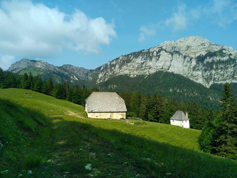
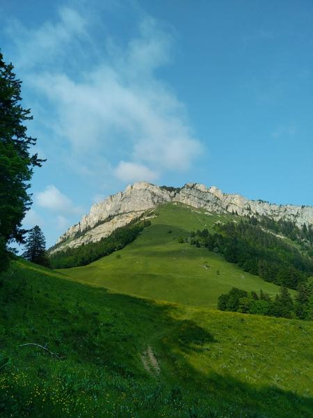
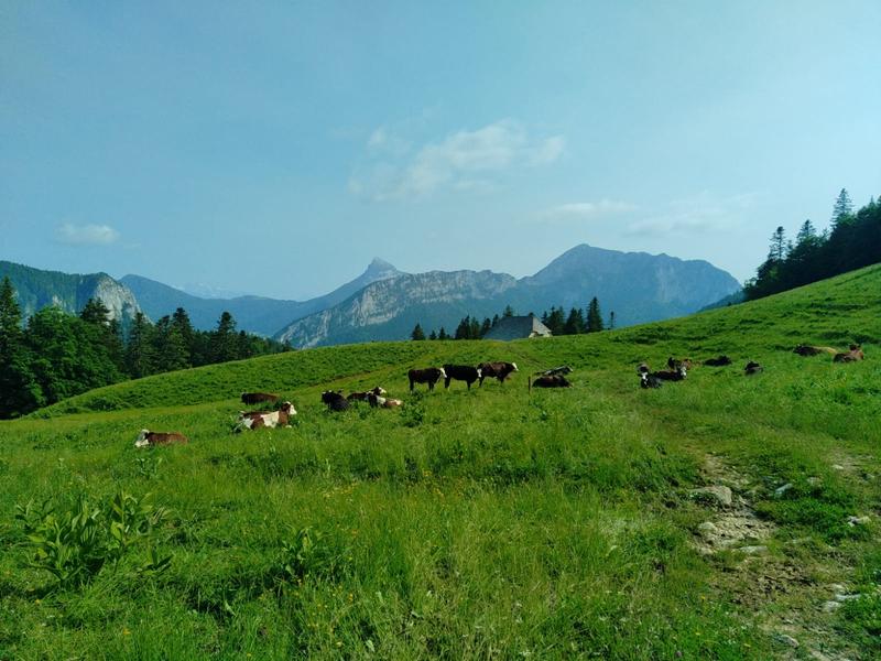
A 12.5 km loop starting from La Ruchère, through forests and wild alpine meadows. A shady, varied itinerary punctuated by superb viewpoints: Col de la Ruchère, Habert de Billon, Col d'Arpison and Belvédère des Riondettes. Ideal in summer!
The characteristics of the route.

Saint-Christophe-sur-Guiers (38)
- Distance 12.44 km
- Elevation gain 750 m
- Elevation lost 750 m
- Min. elevation 1162 m
- Max. elevation. 1513 m
- Duration (depending on pace) 1h30
- Marking Yes
Equipments : Picnic area, Bar, Car park, Restaurant, Free car park, Admission fee : Free access.Opening : Closed temporarily.
Area : Cœur de Chartreuse
Report a problem
Website Pdf file Features of the application :
- Location and orientation on detailed maps thanks to the GPS of your smartphone
- Description of routes and points of interest on the route
- Photo gallery by route
- Detailed elevation profile
- Route tracking alert to warn you if you stray from the route
- Send predefined messages by SMS to your contacts
- Emergency module: trigger a call or send an emergency SMS in case of problem
- Agenda: access to events organized in the department
- News: find in the application the latest news on the web portal
- Adding achievements
- Add reports in case of problems encountered on the routes
- Share on social networks
Add your time and share your feelings
Services nearby

Coeur de Chartreuse Tourist Information center at Saint Pierre d'Entremont
Saint-Pierre-d'Entremont
Coeur de Chartreuse Tourist Information center at Saint Laurent du Pont
Saint-Laurent-du-Pont

Museum of la Grande Chartreuse
Saint-Pierre-de-Chartreuse

Espace Naturel Sensible des Tourbières de l'Herretang
Saint-Laurent-du-Pont
Coeur de Chartreuse Tourist Information center at Saint Pierre de Chartreuse
Saint-Pierre-de-Chartreuse


Information updated on 2026-01-21 by Chartreuse Tourisme


Follow us on
the digital trails
the digital trails


![]()
The Isère Outdoor application was created
by the Département de l'Isère
Infos & contact
Conseil départemental de l'Isère
7 rue Fantin Latour
CS 41096
38 022 Grenoble cedex 1
Tel. 04 76 00 38 38
 Isère Outdoor - Parcours - 22 - Arpison en trail
Hello, world! This is a toast message.
Isère Outdoor - Parcours - 22 - Arpison en trail
Hello, world! This is a toast message.
Isère Outdoor - Parcours - 22 - Arpison en trail
Hello, world! This is a toast message.


OK
Annuler