Petit tour en Val Aubry
Add to my favorites

Route opened
Circuit élaboré en collaboration avec la FFRandonnée Comité de l'Yonne.
The characteristics of the route.
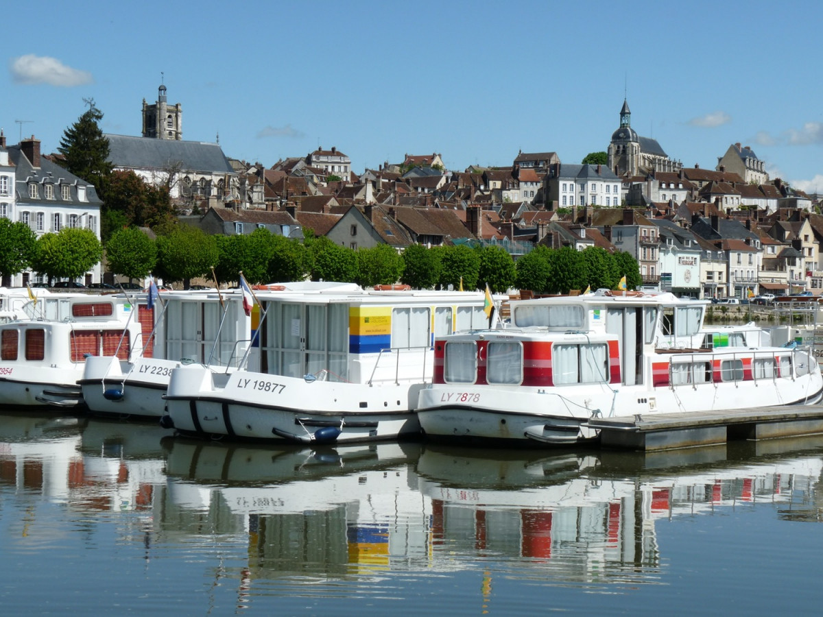
Joigny (89)
- Distance 8 km
- Elevation gain 210 m
- Elevation lost 210 m
- Min. elevation 76 m
- Max. elevation. 223 m
Report a problem
PDf - Petit tour en Val Aubry
Add your time and share your feelings


Follow us on
the digital trails
the digital trails


![]()
 Joigny sports nature - Parcours - Petit tour en Val Aubry
Hello, world! This is a toast message.
Joigny sports nature - Parcours - Petit tour en Val Aubry
Hello, world! This is a toast message.
Joigny sports nature - Parcours - Petit tour en Val Aubry
Hello, world! This is a toast message.


OK
Annuler