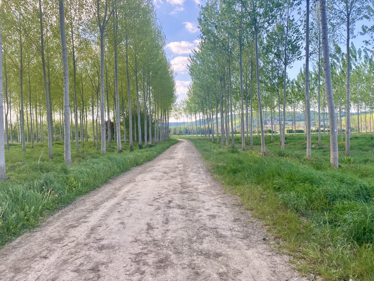
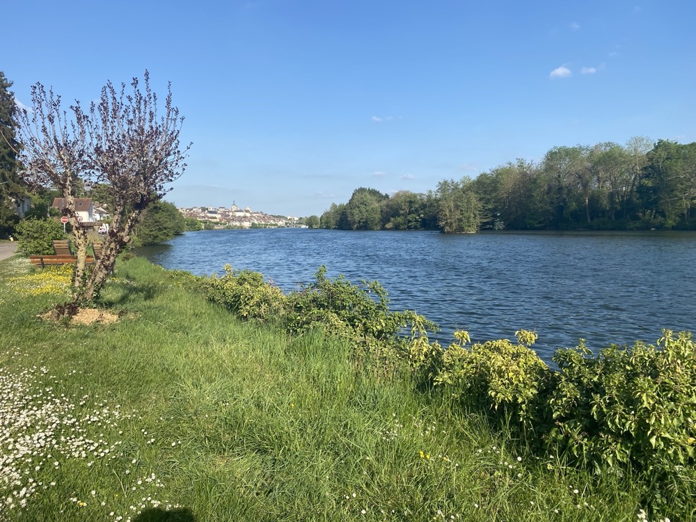
Entre deux eaux, de Joigny à Cézy
Add to my favorites

Route opened
Circuit élaboré en collaboration avec la FFRandonnée Comité de l'Yonne.
The characteristics of the route.
Joigny (89)
- Distance 10 km
- Elevation gain 50 m
- Elevation lost 50 m
- Min. elevation 73 m
- Max. elevation. 84 m
Report a problem
PDF - Entre deux eaux, de Joigny à Cézy
Add your time and share your feelings


Follow us on
the digital trails
the digital trails


![]()
 Joigny sports nature - Parcours - Entre deux eaux, de Joigny à Cézy
Hello, world! This is a toast message.
Joigny sports nature - Parcours - Entre deux eaux, de Joigny à Cézy
Hello, world! This is a toast message.
Joigny sports nature - Parcours - Entre deux eaux, de Joigny à Cézy
Hello, world! This is a toast message.


OK
Annuler