
Cycling
routes filtered
Only my favorites
Delete filters
Around me :
< 5km
< 10km
< 25km
< 50km
Inactive
Difficulties :
Easy
Medium
Difficult
Expert
Durée :
<1h
1-2h
2-3h
3-4h
>4h
Distance (km) :
<10
10-25
25-50
50-75
>75
Distance (km) :
<25
25-50
50-100
100-150
>150
Elevation gain (m) :
<500
500-1000
1000-1500
1500-2500
>2500
Elevation lost (m) :
<500
500-1000
1000-1500
1500-2500
>2500
Tags :
Areas :
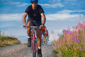
La Grande Traversée Du Volcan A Vélo - GT2V
223.9km 2580m 2250m
Saint-Santin-de-Maurs
Route opened
223.9km 2580m 2250m
Saint-Santin-de-Maurs
Route opened

Les Plateaux du Carladès
50.2km 1060m 1060m
Vic-sur-Cère
Route opened
50.2km 1060m 1060m
Vic-sur-Cère
Route opened
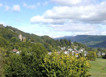
Incursion en Carladès
51.5km 790m 790m
Vic-sur-Cère
Route opened
51.5km 790m 790m
Vic-sur-Cère
Route opened
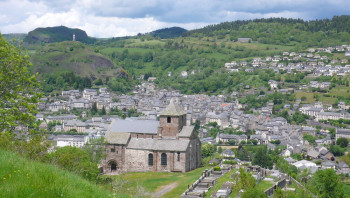
Cyclo. Pays de Murat, entre Alagnon, Pinatelle et Santoire
68.4km 1290m 1290m
Murat
Route opened
68.4km 1290m 1290m
Murat
Route opened
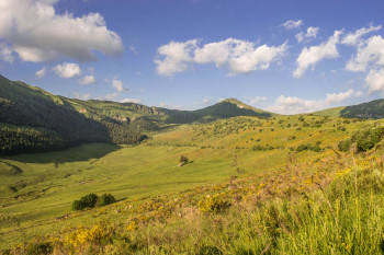
Cyclo. Les clarines du Puy Mary
37.3km 1280m 1410m
Dienne
Route opened
37.3km 1280m 1410m
Dienne
Route opened
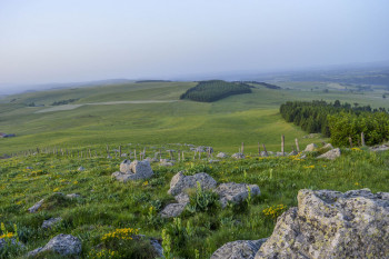
Cyclo. Les monts du Cézallier
82.8km 1570m 1570m
Allanche
Route opened
82.8km 1570m 1570m
Allanche
Route opened
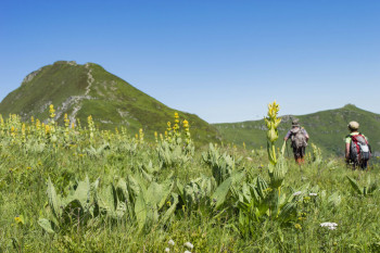
Cyclo. Des plateaux du Cézallier au pays d’Alagnon – parcours 1
120.2km 2040m 2040m
Allanche
Route opened
120.2km 2040m 2040m
Allanche
Route opened
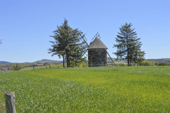
Cyclo. Des plateaux du Cézallier au pays d’Alagnon – parcours 2
125.9km 3630m 3620m
Allanche
Route opened
125.9km 3630m 3620m
Allanche
Route opened
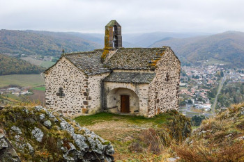
Cyclo. Entre sucs et gorges au Royaume d’Eole
57.9km 970m 970m
Massiac
Route opened
57.9km 970m 970m
Massiac
Route opened
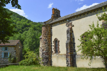
Cyclo. Autour des gorges de la Sianne
62.1km 1090m 1090m
Massiac
Route opened
62.1km 1090m 1090m
Massiac
Route opened
International
France


