The grand tour
Add to my favorites

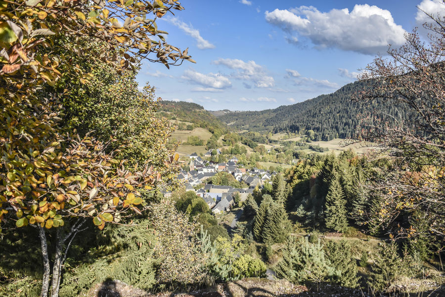
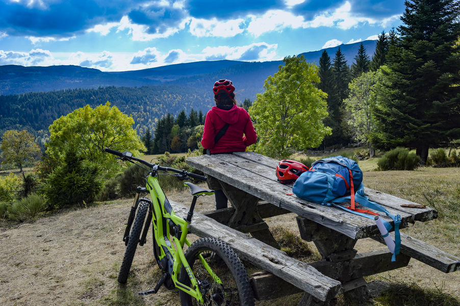
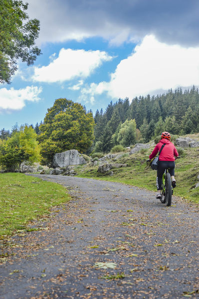
Difficult level circuit; interests: landscape and heritage. Itinerary suitable for VTTAE (blue level: moderate).
The characteristics of the route.
Albepierre-Bredons (15)
- Distance 19 km
- Elevation gain 580 m
- Elevation lost 580 m
- Min. elevation 1026 m
- Max. elevation. 1397 m
- Duration (depending on pace) 2h
- Marking Yes
Marking : Red markings.Equipments : Parking nearby, Admission fee : Free access.Opening : All year round.
Subject to favorable weather.
Report a problem Add a comment
Website Pdf file
Add your time and share your feelings
Services nearby
Rigal Florence
Albepierre-Bredons
Bastien Lydie
Albepierre-Bredons
Seccaud Jean-Pierre
Albepierre-Bredons

Restaurant le Cantou
Albepierre-Bredons
Gîte Les cascades
Albepierre-Bredons


Information updated on 2022-05-23 by Hautes Terres Tourisme


Contact Carladès area
Carladès Tourist Office
Avenue A. Mercier
15800 Vic-sur-Cère
Tel. 04.71.47.50.68
Carladès Tourisme
tourisme@carlades.fr
![]()
Contact Hautes Terres area
Hautes Terres Tourist Office
Pl. Hôtel de ville - 15300 Murat
Tel. 04.71.20.09.47
Hautes Terres Tourisme
contact@hautesterrestourisme.fr
@hautesterrestourisme
@hautesterrestourisme


OK
Annuler