Chambeuil
Add to my favorites

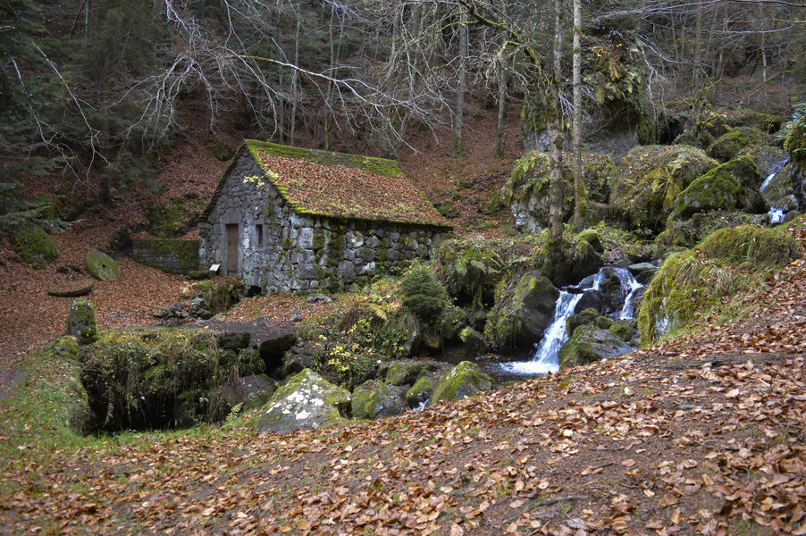
Easy level circuit; interests: landscape and heritage. Itinerary suitable for VTTAE (blue level: moderate).
The characteristics of the route.
Laveissière (15)
- Distance 9.8 km
- Elevation gain 140 m
- Elevation lost 140 m
- Min. elevation 889 m
- Max. elevation. 987 m
- Duration (depending on pace) 1h
- Marking Yes
Marking : Blue markers.Equipments : Parking nearby, Admission fee : Free access.Opening : All year round.
Subject to favorable weather.
Report a problem Add a comment
Website Pdf file
Add your time and share your feelings
Services nearby
Bellevue Hotel
Laveissière
Odeau Daniel
Laveissière
Farges Vincent
Laveissière
Pine trees at Le Vallagnon campsite
Laveissière

Campsite - Le Vallagnon
Laveissière


Information updated on 2023-05-09 by Hautes Terres Tourisme


Contact Carladès area
Carladès Tourist Office
Avenue A. Mercier
15800 Vic-sur-Cère
Tel. 04.71.47.50.68
Carladès Tourisme
tourisme@carlades.fr
![]()
Contact Hautes Terres area
Hautes Terres Tourist Office
Pl. Hôtel de ville - 15300 Murat
Tel. 04.71.20.09.47
Hautes Terres Tourisme
contact@hautesterrestourisme.fr
@hautesterrestourisme
@hautesterrestourisme


OK
Annuler