The Chamalière circus
Add to my favorites

Route opened
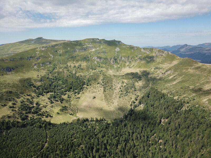
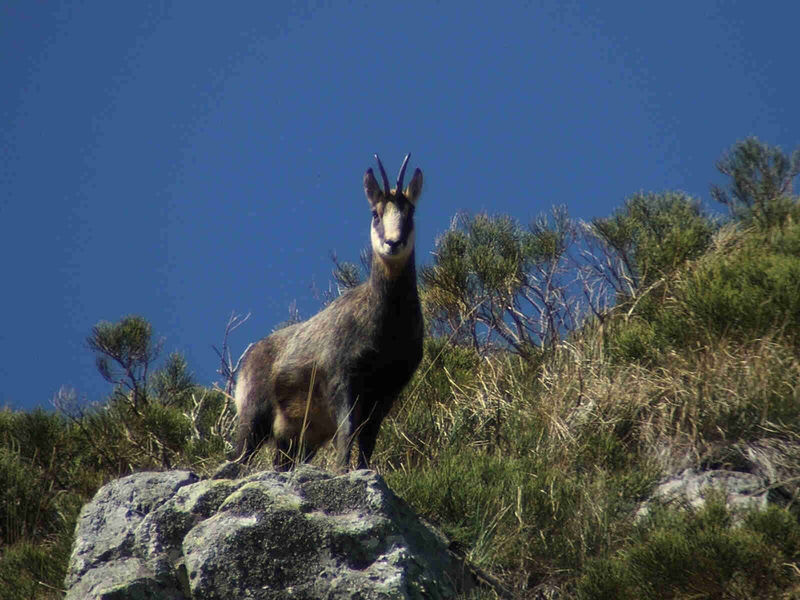
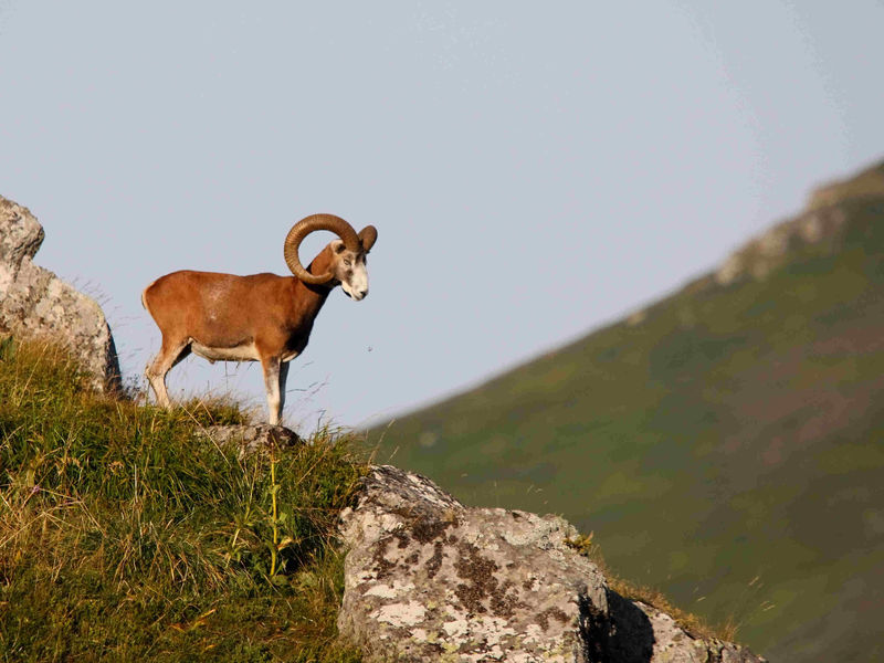
This trail circles the Cirque de Chamalière, offering you a quiet walk with a lovely view of the Col de la Molède and perhaps an encounter with a chamois or mouflon - just keep your eyes peeled!
The characteristics of the route.
Albepierre-Bredons (15)
- Distance 12.9 km
- Elevation gain 500 m
- Elevation lost 500 m
- Min. elevation 1039 m
- Max. elevation. 1439 m
- Duration (depending on pace) 4h
- Marking Yes
Marking : Green signposting.Equipments : Picnic area, Car park, Free car park, Good plans : -For your safety, please check the weather forecast before setting off on your hike. -To preserve the environment in which you are located, please avoid leaving garbage in nature. -Remember to take the appropriate equipment for the weather conditions and the hiking itinerary (hiking boots, water bottle, cap, sunglasses, jacket...).Delicate passages : Crossing summer pastures: presence of herds.Admission fee : Free access.Opening : All year round.
Subject to favorable snow and weather conditions.
Read before you go!
Crossing summer pastures: presence of herds.
Crossing summer pastures: presence of herds.
Report a problem Add a comment
Website Pdf file
Add your time and share your feelings
Services nearby

Rigal Florence
Albepierre-Bredons
Bastien Lydie
Albepierre-Bredons
Seccaud Jean-Pierre
Albepierre-Bredons

Restaurant le Cantou
Albepierre-Bredons
Loussert Lucienne et Daniel
Albepierre-Bredons


Information updated on 2023-10-17 by Hautes Terres Tourisme


Contact Carladès area
Carladès Tourist Office
Avenue A. Mercier
15800 Vic-sur-Cère
Tel. 04.71.47.50.68
Carladès Tourisme
tourisme@carlades.fr
![]()
Contact Hautes Terres area
Hautes Terres Tourist Office
Pl. Hôtel de ville - 15300 Murat
Tel. 04.71.20.09.47
Hautes Terres Tourisme
contact@hautesterrestourisme.fr
@hautesterrestourisme
@hautesterrestourisme


OK
Annuler