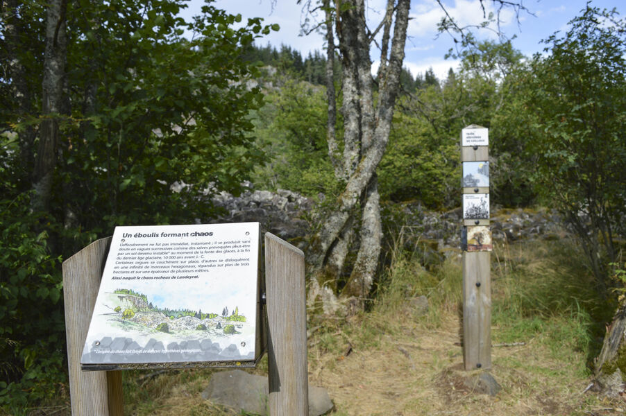
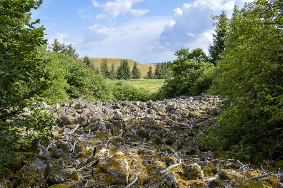
Landeyrat rock discovery trail
Add to my favorites

Route opened
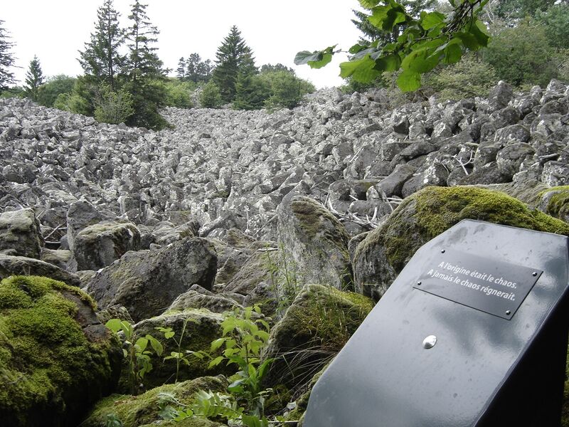
Return trip to Chaos de Landeyrat, Espace Naturel Sensible du Cantal, from La Roussille parking lot, beside the D679 road (Allanche exit on the right, towards Marcenat).
The characteristics of the route.
Landeyrat (15)
- Distance 0.9 km
- Elevation gain 40 m
- Elevation lost 40 m
- Min. elevation 1078 m
- Max. elevation. 1113 m
- Duration (depending on pace) 0h30
- Marking Yes
Marking : Blue markings.
Mountain bikes prohibited.Equipments : Car park, Free car park, Good plans : -For your safety, please check the weather forecast before setting off on your hike. -To preserve the environment in which you are located, please avoid leaving garbage in nature. -Remember to take equipment adapted to the weather conditions and the hiking itinerary (hiking boots, water bottle, cap, sunglasses, jacket...).Admission fee : Free access.Opening : All year round.
Subject to favorable weather.
Report a problem Add a comment
Website Pdf file Pdf file
Add your time and share your feelings
Services nearby

Le Wagon des Estives
Landeyrat

B&B - Ferme des Prades
Landeyrat

Bargy Christian
Landeyrat
Vélorail du Cézallier
Landeyrat
Gîte les Ruisseaux
Landeyrat


Information updated on 2023-03-31 by Hautes Terres Tourisme


Contact Carladès area
Carladès Tourist Office
Avenue A. Mercier
15800 Vic-sur-Cère
Tel. 04.71.47.50.68
Carladès Tourisme
tourisme@carlades.fr
![]()
Contact Hautes Terres area
Hautes Terres Tourist Office
Pl. Hôtel de ville - 15300 Murat
Tel. 04.71.20.09.47
Hautes Terres Tourisme
contact@hautesterrestourisme.fr
@hautesterrestourisme
@hautesterrestourisme


OK
Annuler