
Trail running
routes filtered
Only my favorites
Delete filters
Around me :
< 5km
< 10km
< 25km
< 50km
Inactive
Difficulties :
Easy
Medium
Difficult
Expert
Durée :
<1h
1-2h
2-3h
3-4h
>4h
Distance (km) :
<10
10-25
25-50
50-75
>75
Distance (km) :
<25
25-50
50-100
100-150
>150
Elevation gain (m) :
<500
500-1000
1000-1500
1500-2500
>2500
Elevation lost (m) :
<500
500-1000
1000-1500
1500-2500
>2500
Tags :
Areas :
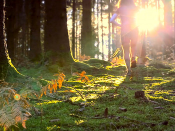
Route 1 green - La Vergnolle
6.2km 110m 110m
Saint-Léger-le-Guérétois
Route opened
6.2km 110m 110m
Saint-Léger-le-Guérétois
Route opened
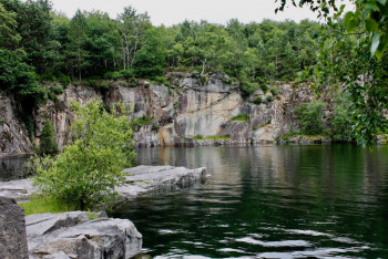
Route 2 blue - The small Quarry
10.6km 240m 240m
Saint-Léger-le-Guérétois
Route opened
10.6km 240m 240m
Saint-Léger-le-Guérétois
Route opened
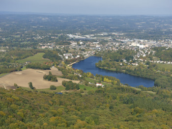
Route 3 blue - The large Quarry
13.2km 420m 420m
Saint-Léger-le-Guérétois
Route opened
13.2km 420m 420m
Saint-Léger-le-Guérétois
Route opened
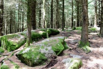
Route 4 green - Puy de Chiroux
7.8km 190m 190m
Saint-Christophe
Route opened
7.8km 190m 190m
Saint-Christophe
Route opened
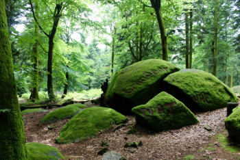
Route 5 red - The Chabrières rocks
20.4km 680m 680m
Saint-Christophe
Route opened
20.4km 680m 680m
Saint-Christophe
Route opened
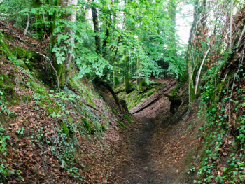
Route 6 blue - Gaudy
10.1km 410m 410m
Sainte-Feyre
Route opened
10.1km 410m 410m
Sainte-Feyre
Route opened
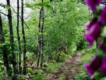
Route 7 blue - Sainte Feyre Woods
17.4km 530m 530m
Sainte-Feyre
Route opened
17.4km 530m 530m
Sainte-Feyre
Route opened
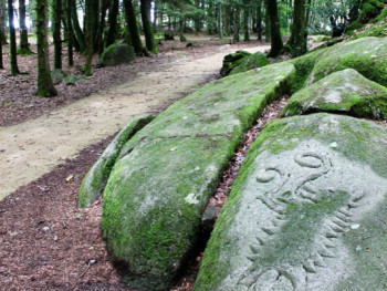
Route 8 red - Uphill and Down Dale
27km 920m 920m
Sainte-Feyre
Route opened
27km 920m 920m
Sainte-Feyre
Route opened
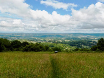
Route 9 black - The Quarries at the Animal Park
43.8km 1280m 1280m
Saint-Christophe
Route opened
43.8km 1280m 1280m
Saint-Christophe
Route opened
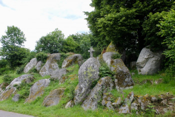
Route 10 black - Monts de Guéret’s Large Trail
65.6km 1980m 1980m
Saint-Léger-le-Guérétois
Route opened
65.6km 1980m 1980m
Saint-Léger-le-Guérétois
Route opened
International
France


