
This mountainous trail with nearly 1000 meters of elevation gain will delight experienced trail runners.

- Distance 12.23 km
- Elevation gain 990 m
- Elevation lost 990 m
- Min. elevation 1135 m
- Max. elevation. 1917 m
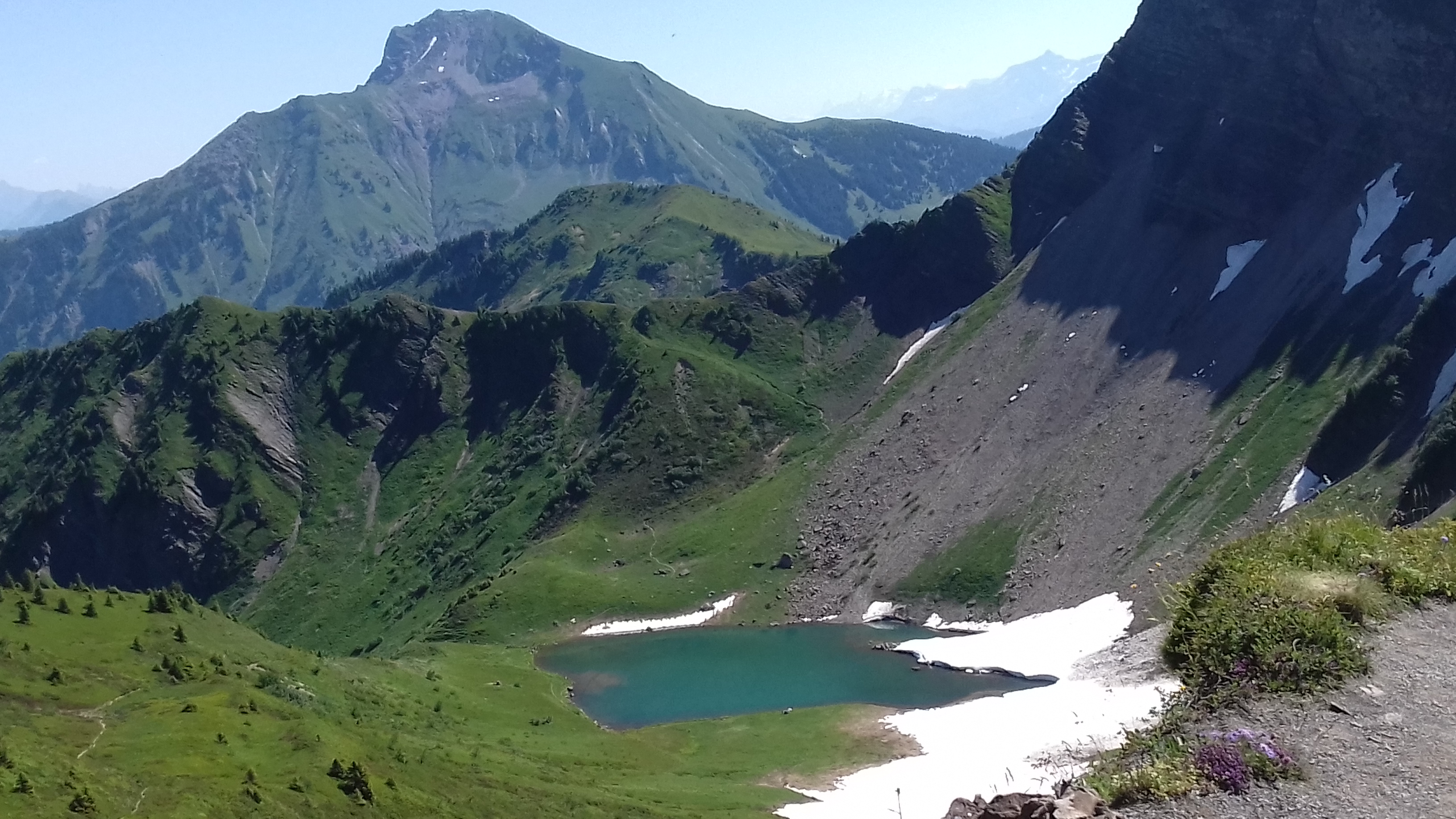
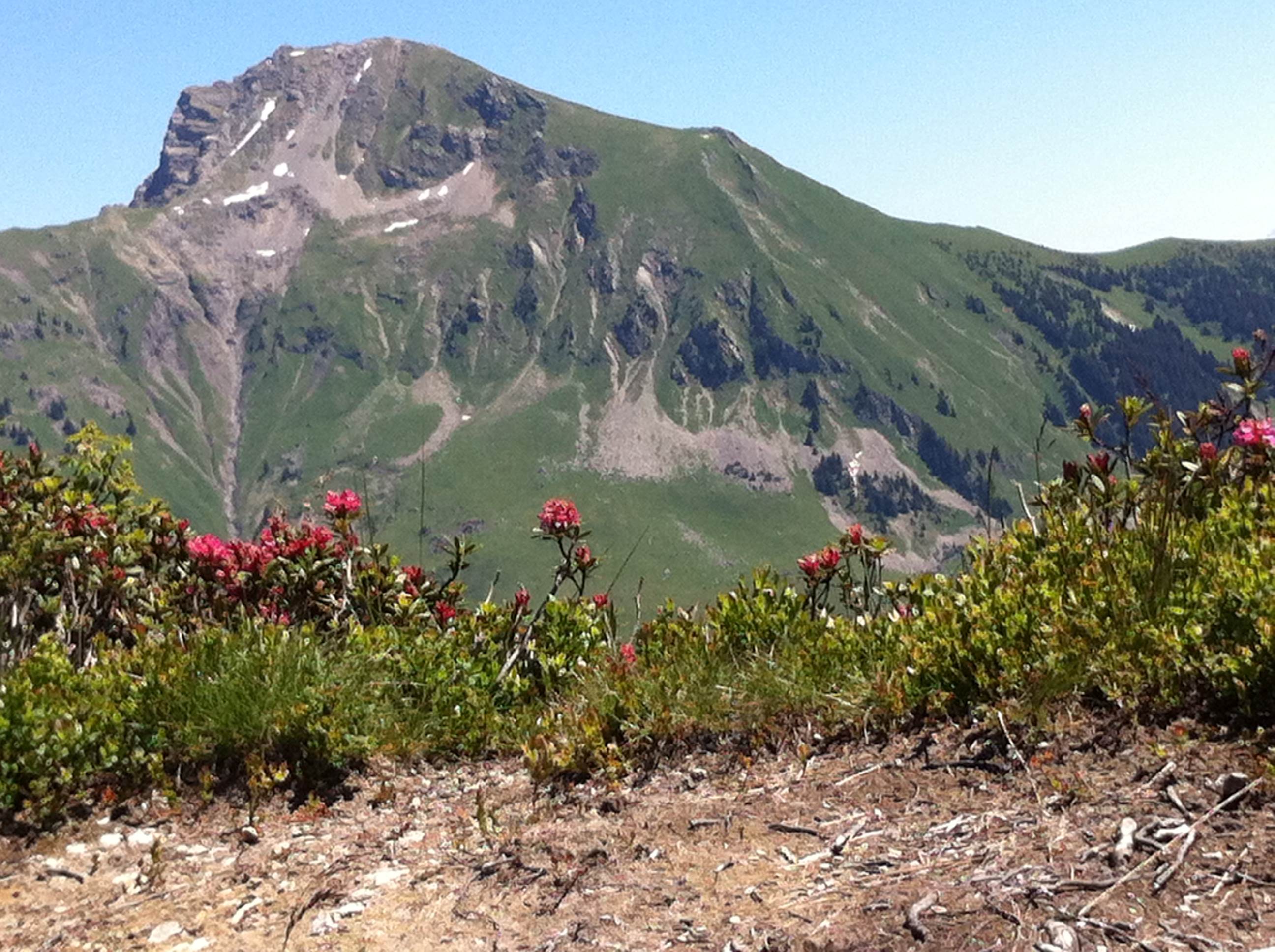
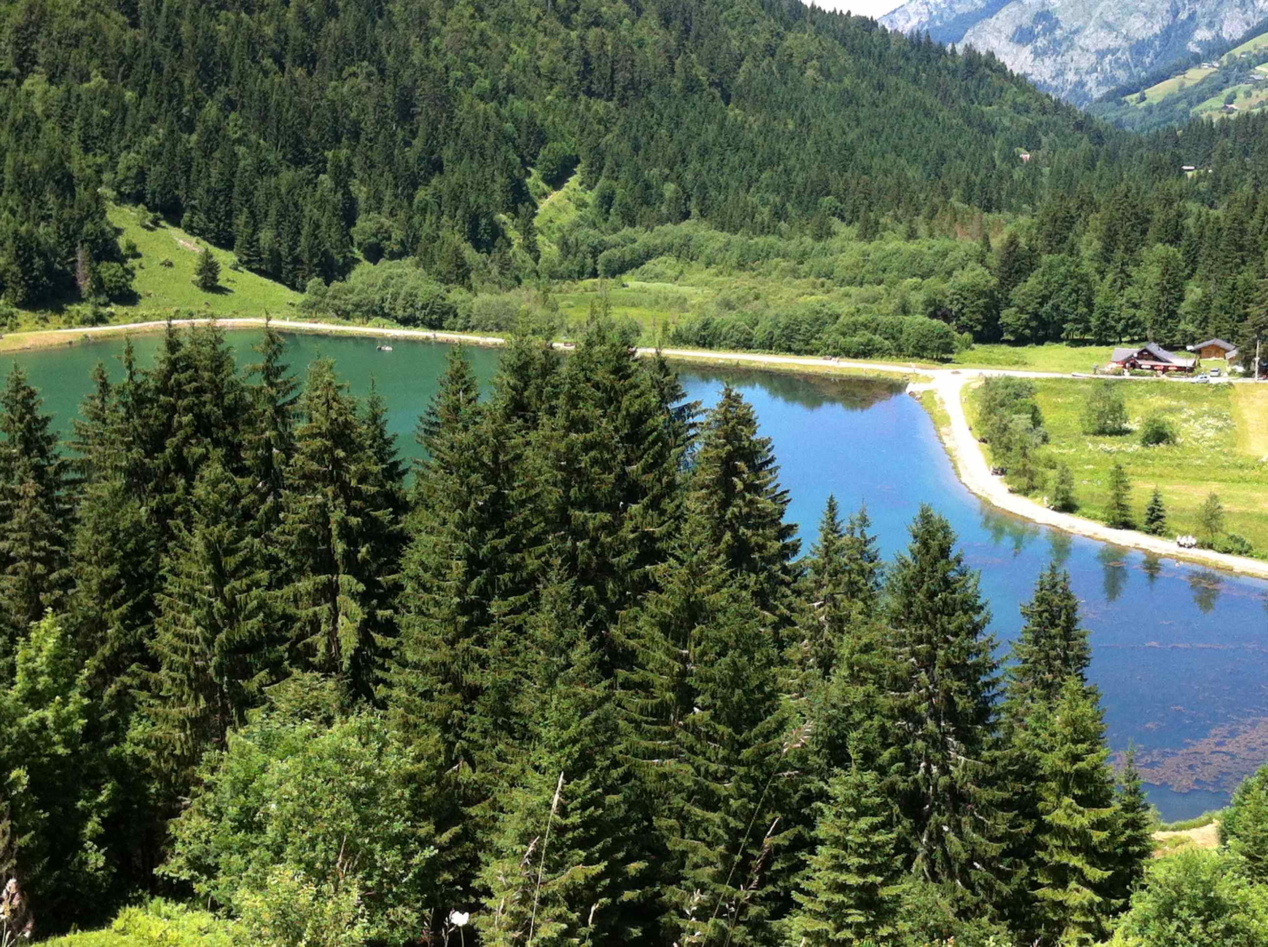
From the Prétairié car park, take the forest road towards Lac de Tavaneuse. Walk briskly uphill to the Chalets de Tavaneuse, where you can take a short break on a small plateau before climbing up to the lake of the same name. Enjoy the lake and then descend to Les Chalets d'Ardents. After 600m take the small path on the left that zigzags downhill, then follow the forest road to Cubourré. be careful to take the path on the left to reach Lac des Plagnes. Walk along the lake and follow the forest road towards Le Cazot. At the La Séchère intersection, take the path down to Prétairié.


the digital trails


![]()
Info & contacts
Portes du Soleil Association
1401, route de Vonnes
74390 Châtel FRANCE
+33(0)4.50.73.32.54
info@portesdusoleil.com
 Trail Running Portes du Soleil - Parcours - Circuit 48 red - Lakes loop
Trail Running Portes du Soleil - Parcours - Circuit 48 red - Lakes loop
Trail Running Portes du Soleil - Parcours - Circuit 48 red - Lakes loop
Trail Running Portes du Soleil - Parcours - Circuit 48 red - Lakes loop
Trail Running Portes du Soleil - Parcours - Circuit 48 red - Lakes loop

