The Water Trail - Champéry to Monthey
Add to my favorites

Route closed
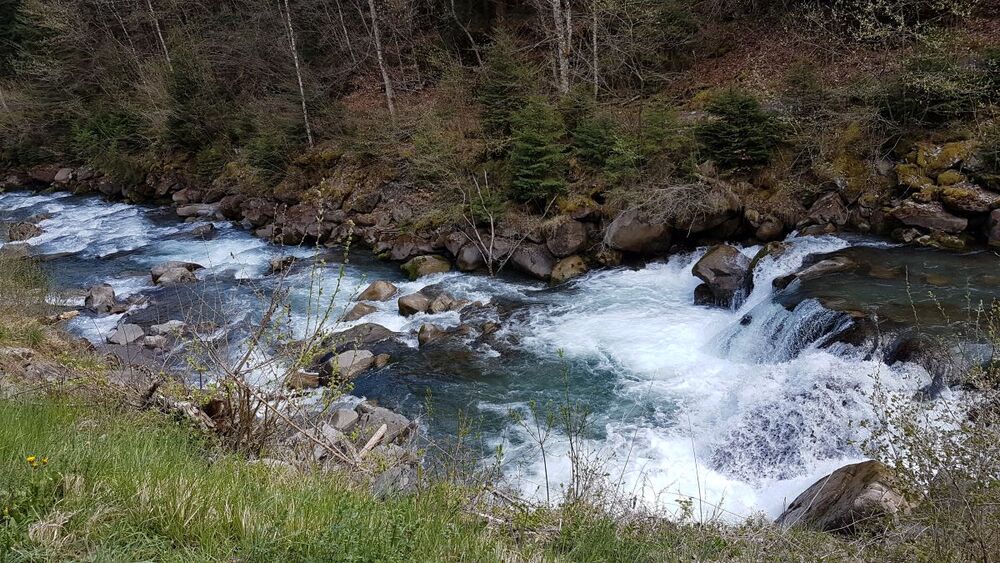
Dotted with informational panels, this itinerary retraces the course and the importance of water as it flows from Champéry to Monthey along the Vièze River.
The characteristics of the route.
Champéry (CH)
- Distance 21.4 km
- Elevation gain 450 m
- Elevation lost 1080 m
- Min. elevation 419 m
- Max. elevation. 1109 m
- Duration (depending on pace) 5h45
- Marking Yes
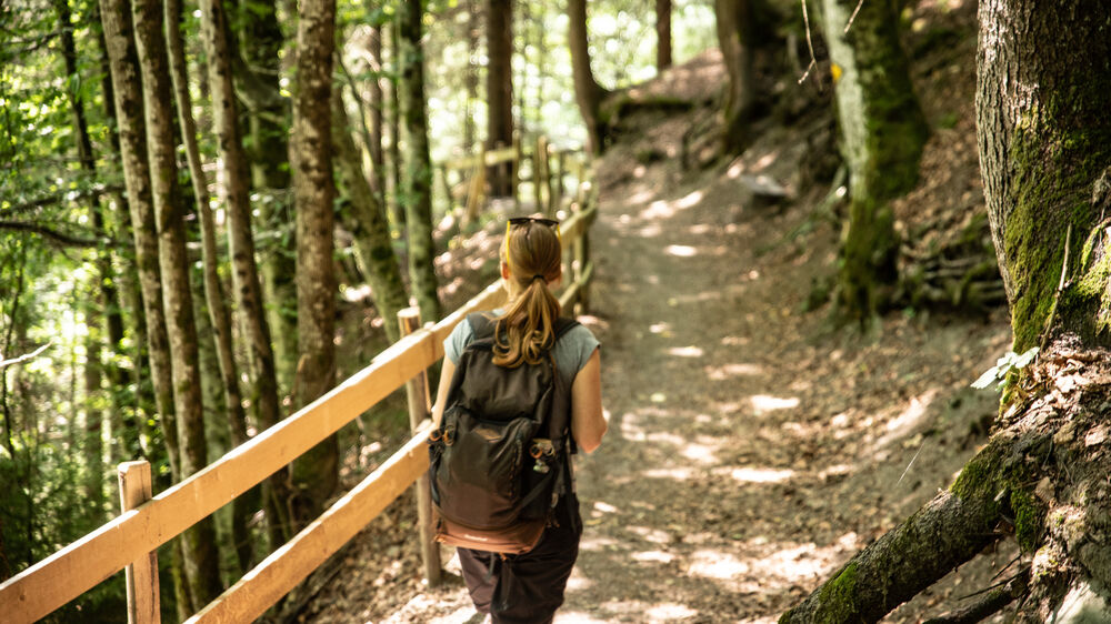
The name Val d’Illiez comes from an old expression in the local dialect, Vau de Lie, meaning Valley of Water. This trail goes with the flow of the rivers, streams, waterfalls and springs that feed into the Vièze River between Champéry and Monthey. You will explore the vital role water plays here and the myriad ways we use and protect it. Easily accessed by public transportation, this trail can be done in stages thanks to train stops along the way.
In order to make the walk more enjoyable, the itinerary we suggest on our Outdooractive map differs from the official route in two places:
-from the Bains de Val-d'Illiez to Le Pas, we suggest you take the path on the left bank
-from Chenarlier to Monthey, take the bucolic path through the Gorges de la Vièze.
Report a problem Add a comment
Website Brochure 2022 Poster 2022
Add your time and share your feelings


Follow us on
the digital trails
the digital trails


![]()
Info & contacts
Portes du Soleil Association
1401, route de Vonnes
74390 Châtel FRANCE
+33(0)4.50.73.32.54
info@portesdusoleil.com


OK
Annuler