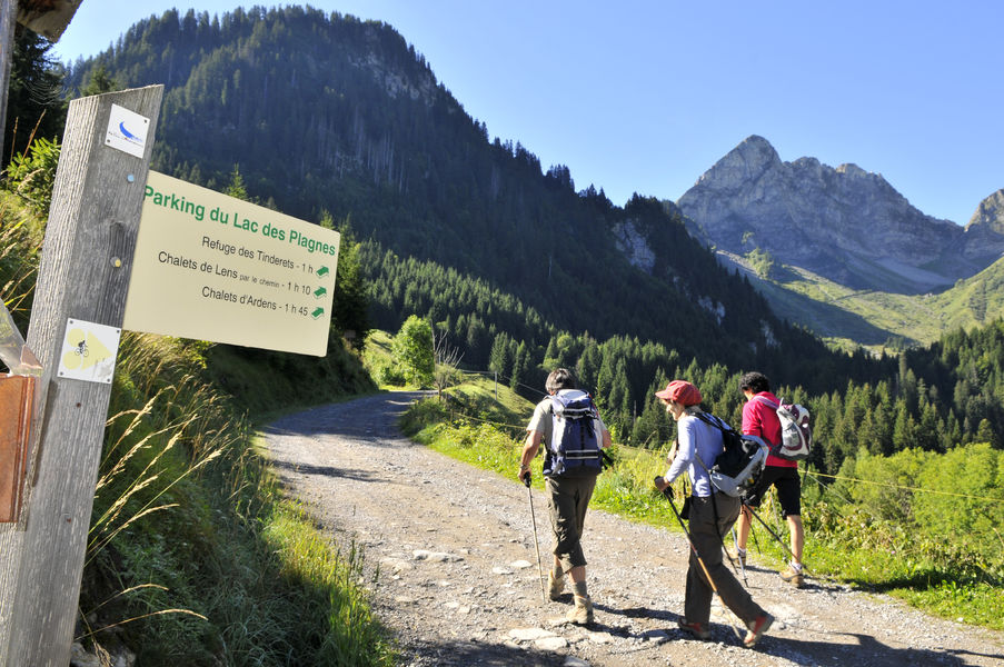
Discovery of the Lac des Plagnes Unesco Geopark site and climb to the Tindérêts refuge
Add to my favorites

Route opened
A nice easy and accessible hike, ideal for a family, to discover mountain hiking in a magnificent setting and to understand the geological evolution of this Unesco Geopark site!
The characteristics of the route.
Abondance (74)
- Distance 2.3 km
- Elevation gain 0 m
- Elevation lost 290 m
- Min. elevation 1201 m
- Max. elevation. 1491 m
- Duration (depending on pace) 2h
- Marking Yes
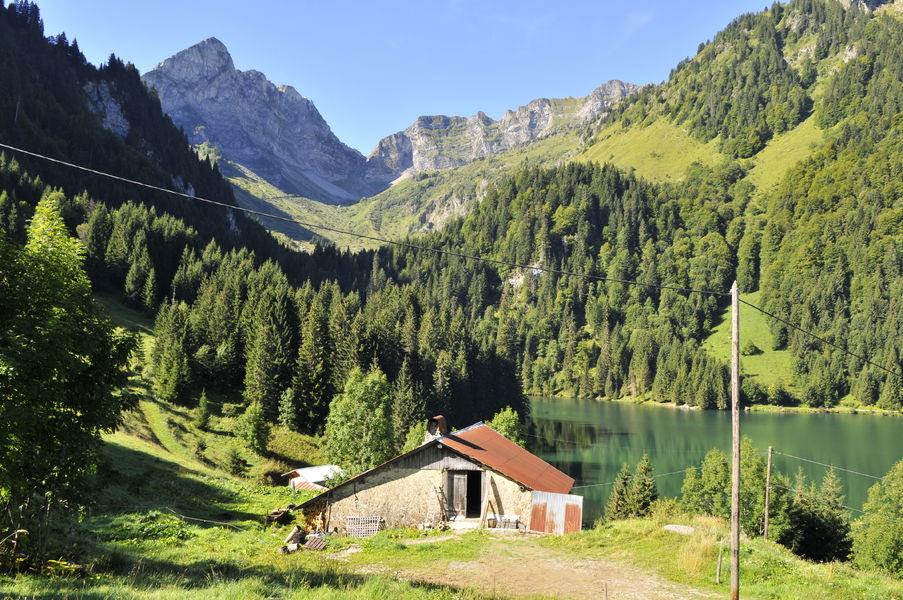
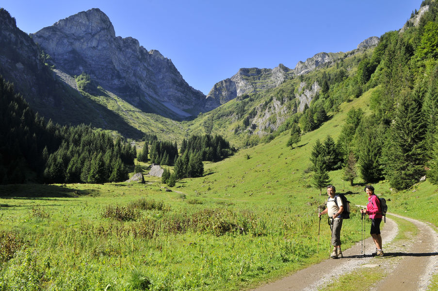
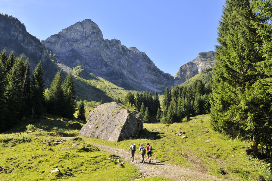
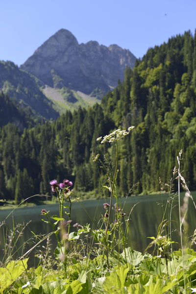
After a walk along the edge of the Lac des Plagnes, head towards Cubourré, you will discover a nice waterfall in the forest and you will reach a peaceful plateau, bathed by a stream and overlooked by the Pointe d'Entre Deux Pertuis and the Pointe de Chavache.
The Lac des Plagnes site, classified as a Unesco Geopark, is a unified geographical area whose sites and landscapes are of international geological interest. All along the route, interpretation panels invite you to understand the geological evolution of this place.
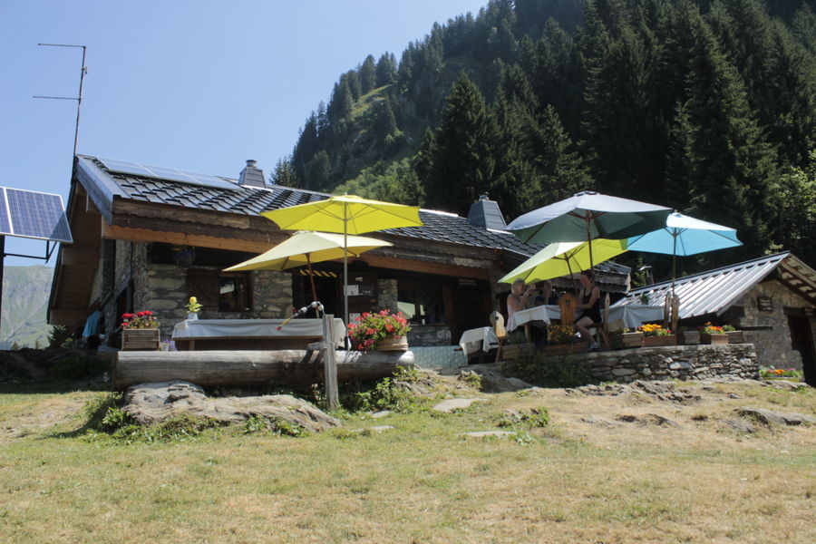
A path leads to the Tindérêts refuge. During the summer school holidays, everyone can enjoy a gourmet break in the refuge after the climb.Marking : Departmental signposting PPIPREquipments : Picnic area, Car park, Parking, Free car park, Good plans : Refuge des Tindérêts is open in summer with a small restaurant on the spot at lunchtime. Half-board and accommodation on site. In winter, the refuge is open on reservation. Snowshoe and fondue evenings. Reception for individuals and groups.Admission fee : Free of charge.Opening : From 01/06 to 01/11. Subject to favorable snow and weather conditions.
The Lac des Plagnes site, classified as a Unesco Geopark, is a unified geographical area whose sites and landscapes are of international geological interest. All along the route, interpretation panels invite you to understand the geological evolution of this place.
A path leads to the Tindérêts refuge. During the summer school holidays, everyone can enjoy a gourmet break in the refuge after the climb.Marking : Departmental signposting PPIPREquipments : Picnic area, Car park, Parking, Free car park, Good plans : Refuge des Tindérêts is open in summer with a small restaurant on the spot at lunchtime. Half-board and accommodation on site. In winter, the refuge is open on reservation. Snowshoe and fondue evenings. Reception for individuals and groups.Admission fee : Free of charge.Opening : From 01/06 to 01/11. Subject to favorable snow and weather conditions.
Report a problem
Website Lac des Plagnes - refuge des Tindérêts
Add your time and share your feelings


Information updated on 2023-04-28 by Office de Tourisme intercommunal Pays d'Evian Vallée d'Abondance


Follow us on
the digital trails
the digital trails


![]()
Info & contacts
Portes du Soleil Association
1401, route de Vonnes
74390 Châtel FRANCE
+33(0)4.50.73.32.54
info@portesdusoleil.com
 Trail Running Portes du Soleil - Parcours - Discovery of the Lac des Plagnes Unesco Geopark site and climb to the Tindérêts refuge
Hello, world! This is a toast message.
Trail Running Portes du Soleil - Parcours - Discovery of the Lac des Plagnes Unesco Geopark site and climb to the Tindérêts refuge
Hello, world! This is a toast message.
Trail Running Portes du Soleil - Parcours - Discovery of the Lac des Plagnes Unesco Geopark site and climb to the Tindérêts refuge
Hello, world! This is a toast message.


OK
Annuler