Circuit 39 red - Tête de Lindarets and Bassachaux
Add to my favorites

Be careful, you are on your own
Route opened

This track is quite demanding and perfect for experienced runners. Amazing ridge paths will congratulate the effort you will make to complete the itinerary.
The characteristics of the route.

Châtel (74)
- Distance 16.4 km
- Elevation gain 510 m
- Elevation lost 1220 m
- Min. elevation 1159 m
- Max. elevation. 1942 m
- Duration (depending on pace) 2h
- Marking yes
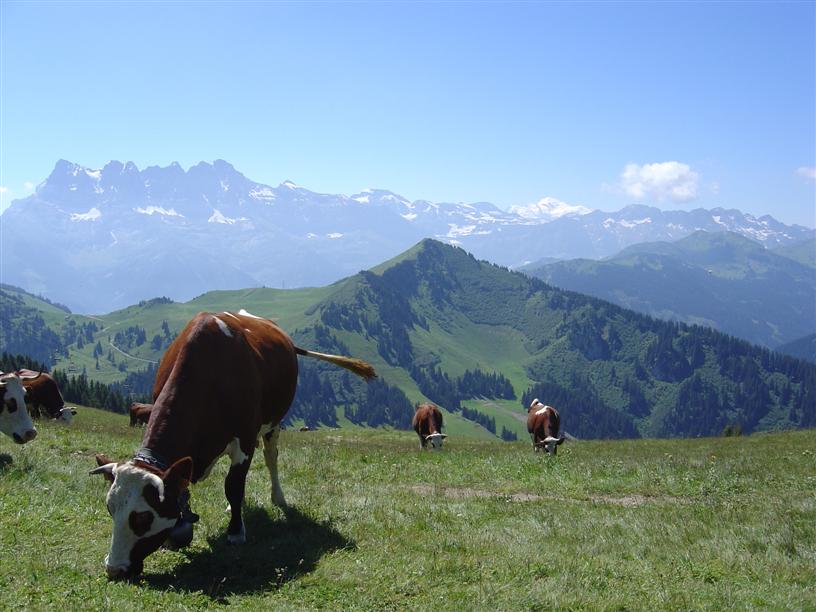
Starting from Pré-La-Joux, you can take the Pierre Longue and Rochassons lifts. Starting from Les Lindarets, you can take the Chaux Fleurie lift. The itinerary starts with a moderate ascent on the Lindarets ridge. From there you can see Châtel on one side and Avoriaz and the Montriond Lake on the other. Then you will continue to the Col de Bassachaux - stops are possible to collect blueberries. Next part of the itinerary will let you run on the famous GR5 through the Covagnes and Schrenk. Small paths on the forest like pure trail tracks will accompany you for the next kilometers around the Mont de Grange summit. You will arrive to Très Les Pierres chapel on a technical downhill path. To come back to Châtel, you will cross the road and taking a large path witch is a little bit going up. You will arrive at the Vonnes lake, after turning around you will continue on the forest above houses. You will finally arrive behind the Super Châtel gondola.
Area : Vallée d'Abondance
Report a problem 1 comment
PDF map Oliv90
finished in 02:00:00
The 2023/08/15
En savoir plus
Ajouter votre chrono et partager vos sensations
OK
Annuler


