Circuit 31 blue - Les Fours
Add to my favorites

Be careful, you are on your own
Route closed
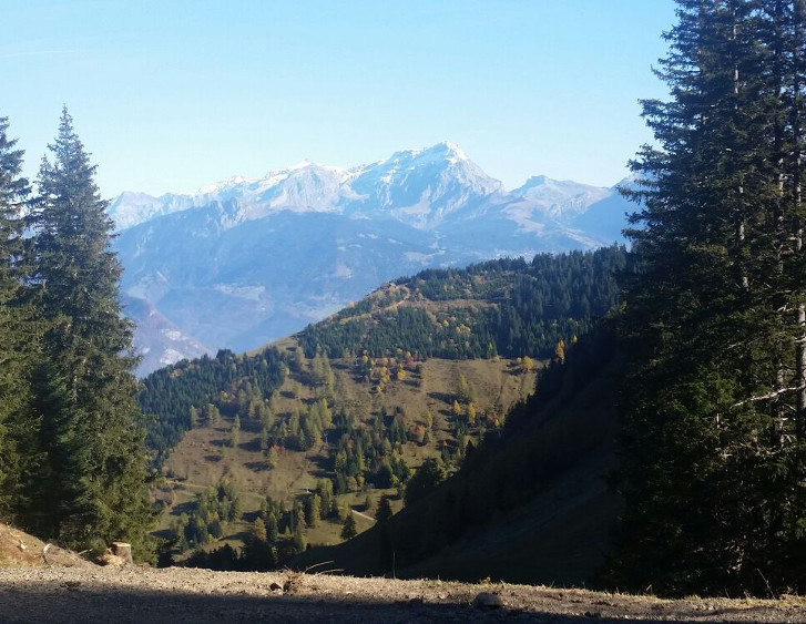
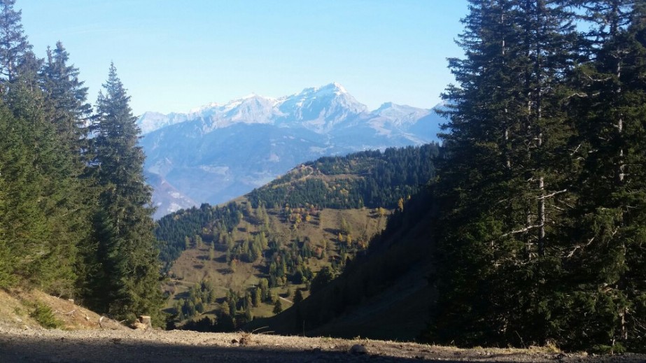
The 10km track makes you discover Eusin Pastures and Dravers through Plan de Croix area, famous place in winter for is lift "Tronchey" that connect to Châtel and "Djeu de Têtes"lift, connected to Chapelle d'Abodance. This track is perfect for a running training, it propose plane tracks and two runs uphill, good to evaluate your ability on a 10km track and improve your run uphill.
The characteristics of the route.

Torgon (CH)
- Distance 10.5 km
- Elevation gain 630 m
- Elevation lost 640 m
- Min. elevation 1135 m
- Max. elevation. 1511 m
- Duration (depending on pace) 1h45
- Marking yes
You will start at the tourism office and run up near Jorette to enter on the Teys Forest. Then the Eusin pasture will appear, you will have the opportunity to see the beautiful landscape of the Geneva Lake and the swiss Alps. Then you will continue running up under the Jorette skilift, and running down to Plan de Croix. The way continues by an easy run along Djeu des Têtes lift, and goes up to the Dravers pasture. Afterward you will run down direction Savalene road, and road to Plan de Croix. The way continues on the road before joining the Avancon river. Last part of the track is going along the football field and archery area. Take the time to relax at one of the terrasse in Jorette place.
Area : Val d'Illiez - Suisse
Report a problem
PDF map
Add your time and share your feelings


Follow us on
the digital trails
the digital trails


![]()
Info & contacts
Portes du Soleil Association
1401, route de Vonnes
74390 Châtel FRANCE
+33(0)4.50.73.32.54
info@portesdusoleil.com
 Trail Running Portes du Soleil - Parcours - Circuit 31 blue - Les Fours
Hello, world! This is a toast message.
Trail Running Portes du Soleil - Parcours - Circuit 31 blue - Les Fours
Hello, world! This is a toast message.
Trail Running Portes du Soleil - Parcours - Circuit 31 blue - Les Fours
Hello, world! This is a toast message.


OK
Annuler