Route 12 - Torgon
Add to my favorites
Route opened
parcours

Route 12

Charging stationFood stopTorgon
The characteristics of the route.
Torgon (CH)
  • Distance 26 km
  • Elevation gain 1020 m
  • Elevation lost 1020 m
  • Min. elevation 1015 m
  • Max. elevation. 1698 m


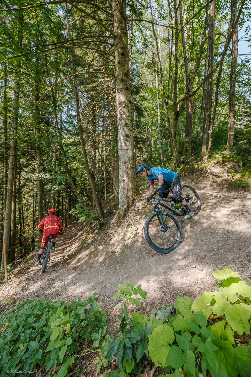
Route 12 is of an intermediate level and will introduce you to the Eusin mountain pasture. Departing from the Tourist Office, you will first descend to the village of Reuveurelaz before climbing to the Eusin mountain pasture. You will then join the Plan de Croix road to end your journey on the Place de la Jorette.
Area : Val d'Illiez - Suisse
Report a problem Add a comment
Add your time and share your feelings

OK
Annuler