Route 1 - Champéry
Add to my favorites

Route opened
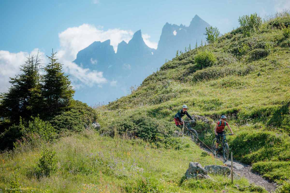
This easy loop starting from Champéry and graded blue, is 15.3 km long and has a positive ascent of 500 m.
The characteristics of the route.

Champéry (CH)
- Distance 15.22 km
- Elevation gain 560 m
- Elevation lost 560 m
- Min. elevation 830 m
- Max. elevation. 1243 m
This easy loop, graded blue, is 15.3 km long and has a positive ascent of 500 m.
Starting from Champéry, you will first descend to the village of Val-d'Illiez, skirting the Vièze river for part of the descent. Head back up towards Champéry, passing the Frassenaye waterfall and the Rives canteen, overlooking the Galerie Défago, before finishing your loop at Grand-Paradis.
Area : Val d'Illiez - Suisse
Report a problem
Add your time and share your feelings


Follow us on
the digital trails
the digital trails


![]()
Info & contacts
Portes du Soleil Association
1401, route de Vonnes
74390 Châtel FRANCE
+33(0)4.50.73.32.54
info@portesdusoleil.com
 Trail Running Portes du Soleil - Parcours - Route 1 - Champéry
Hello, world! This is a toast message.
Trail Running Portes du Soleil - Parcours - Route 1 - Champéry
Hello, world! This is a toast message.
Trail Running Portes du Soleil - Parcours - Route 1 - Champéry
Hello, world! This is a toast message.


OK
Annuler