Route 18 - Les Gets
Add to my favorites
Caution : snow might be found on some parts of the track.
Route closed
parcours

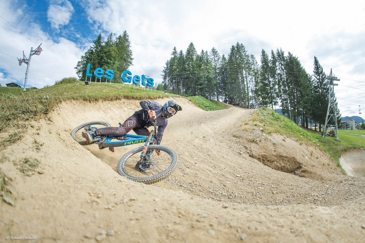
A blue loop on the heights of Les Gets, alternating between paths and bike park trails.

Bike workshopsCharging stationLes GetsRemarkable view
The characteristics of the route.
Les Gets (74)
  • Distance 18.72 km
  • Elevation gain 660 m
  • Elevation lost 660 m
  • Min. elevation 1169 m
  • Max. elevation. 1687 m

This circuit starts in the village centre next to the start of the Chavannes chairlift. Head towards the Lac des Ecoles via the path that passes in front of the Hôtel le Crychar. Pass underneath and to the left of the Ecoles and you will come to the little path leading to the lake. Ride along the bottom of the Alta Lumina fence to get back to the Mouille au Ronde path via the narrow path leading upwards. When you reach the Mouille au Ronde mountain pasture chalets, continue up the slope to the left and follow the path below the Mouille au Blé lake. At the crossroads, take the left-hand path that leads past the Indians' territory (winter installation) and continue as far as Le Wetzet restaurant. You will join the tarmac road to Joux-Plane, which will take you to the lake of the same name, where you can take a break facing Mont Blanc. Follow the same road in the opposite direction up to the Col de Ranfolly, at the top of the Nauchets chairlift. From here, take the trail back down to the Chavannes sector. Head for Le Pleney via the path that runs alongside the golf course and takes you to the hamlet of Nabord... You return to Les Gets via the blue Bikepark trail.

Area : Vallée d'Aulps
Report a problem 1 comment
Add your time and share your feelings

OK
Annuler