

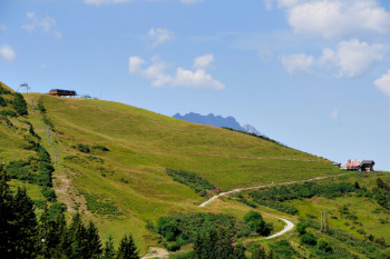
Discover the Haut Savoyard territory located in the Mont Blanc region and discover the Espace Trail de Praz sur Arly.
In total 10 itineraries, for 80 km of pleasure! Train all year long on the favorite playground of the Scott team athletes thanks to the trail routes and measure yourself against the other trailers on the 3 trail running challenge routes of the destination.


9.2km 460m 460m
Praz-sur-Arly

14.1km 880m 880m
Praz-sur-Arly
21.7km 1370m 1370m
Praz-sur-Arly

7.4km 410m 410m
Praz-sur-Arly

10.2km 600m 600m
Praz-sur-Arly

5.1km 880m 0m
Praz-sur-Arly


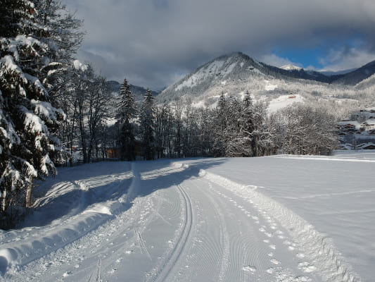
Distance : 4,2 km I Elevation : +50m
Praz sur Arly offers you a white trail itinerary to continue training in winter. Take advantage of the charms of the resort of Praz sur Arly and discover the beautiful winter landscapes.
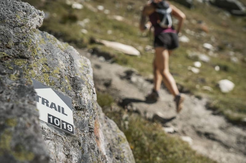
To orient you during your run, routes of the Praz sur Arly Sports & Nature are equipped with trail directional markers. Each marker is printed with the number(s) of the itinerary(s) to be followed with their colour of difficulty (green - blue - red - black) or their particularity (purple = challenge routes ; azure blue = snow-route).
The trail markers are placed in a regular way, at each directional change. Between two trail directional markers, follow the existing hiking markers.
Before your run :
- Check the weather forecast before you leave, the itineraries can be dangerous in case of bad weather
- Find out about the state of the route before you leave
- Inform someone close to you of your itinerary and the planned timetables
- Take water and food and drink
On the routes :
- Please respect the natural and agricultural environments you pass through
- Close the barriers after you have passed through
- Stay on the paths and do not cut the laces
- All parts of the route using public roads are subject to the Highway Code please make sure that you observe them
- Keep all your rubbish with you
A problem ? Report it ! In the event of problem (lack of markings, maintenance problems, environmental problems...), do not hesitate to signal this problem by using the reporting tool available on the route page, on the website (button under the map) or in the mobile app. You will be able to geolocate the problem and also send a corresponding photo. The Espace manager will be automatically notified of your report and will be able to check and deal with the problem.

the digital trails


![]()
Office de Tourisme de Praz sur Arly
54 Route du Val d'Arly
74 120 PRAZ-SUR-ARLY
+33(0)4 50 21 90 57
Office de Tourisme
Contact mail
 Praz sur Arly Destination Trail - The Espace Trail

