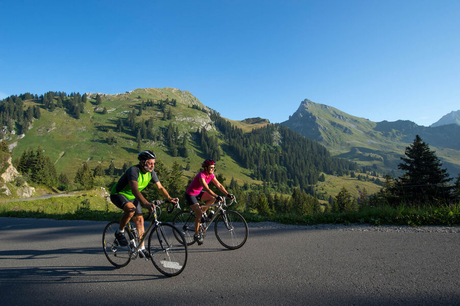
Cycling loop: Tour du Roc d'Enfer
Add to my favorites

Route opened
60 km of efforts supported before a long final descent of 35 km. For those who enjoy steep climbs or who are looking to join the "Club des 100 Cols".
The characteristics of the route.

Thonon-les-Bains (74)
- Distance 95.6 km
- Elevation gain 2830 m
- Elevation lost 2830 m
- Min. elevation 419 m
- Max. elevation. 1614 m
- Marking No
Direction of travel: counter-clockwise.
Landmarks and connections: Armoy (separation with Circuit de Planbois n°50); Vailly (separation with Tour du mont d'Hermone n°29 and Circuit de la Vallée verte n°28); Mégevette; Sommand / Praz de Lys; la Côte-d'Arbroz.
Description: Formerly known as the Mont Maudit, the Roc d'Enfer deserves its name both because of the storms it attracts and because of its slippery, stony escarpments where accidents are frequent. No such risk for cyclists, who need only fear fatigue, particularly on the ascent of the Col de la Ramaz. If you're feeling fit, you can take a short detour just before the Col de Jambaz. Staying on the RD26 (followed from Thonon), go back and forth to see the Lac du Vallon à la Chevrerie. This was formed by an ancient landslide that held back water from the Brevon torrent. At Mégevette, turn left off the RD26 onto the RD226 to chez Besson (Mieussy), then up to Sommand and the Col de la Ramaz via the RD308. After crossing Praz de Lys, take care on the descent: after 5 hairpin bends, turn left onto the Col de l'Encrenaz road (RD328). Similarly, after Côte d'Arbroz, take a hairpin bend to the left to pass through Essert-Romand. Return to Thonon on the RD902.Admission fee : Free access.Opening : From 15/05 to 31/10 daily.
Area : Praz de Lys
Report a problem
Website Pdf file Pdf file
Add your time and share your feelings


Information updated on 2025-06-20 by Conseil Départemental de la Haute-Savoie


Follow us on
the digital trails
the digital trails


![]()
Infos & contacts
Praz de Lys Sommand Tourisme
www.prazdelys-sommand.com
04.50.34.25.05
accueil@prazdelys-sommand.com
 Praz de Lys Sommand - Grandeur Nature - Parcours - Cycling loop: Tour du Roc d'Enfer
Hello, world! This is a toast message.
Praz de Lys Sommand - Grandeur Nature - Parcours - Cycling loop: Tour du Roc d'Enfer
Hello, world! This is a toast message.
Praz de Lys Sommand - Grandeur Nature - Parcours - Cycling loop: Tour du Roc d'Enfer
Hello, world! This is a toast message.


OK
Annuler