
These stones were laid according to Roman techniques and the path was first used in the Middle Ages by the monks from the Chartreuse de Mélan to access Praz de Lys pastures 1,000m further up. For a long time, this was the only access to Praz de Lys.

- Distance 7.9 km
- Elevation gain 890 m
- Elevation lost 10 m
- Min. elevation 617 m
- Max. elevation. 1497 m
- Duration (depending on pace) 3h à 4h40
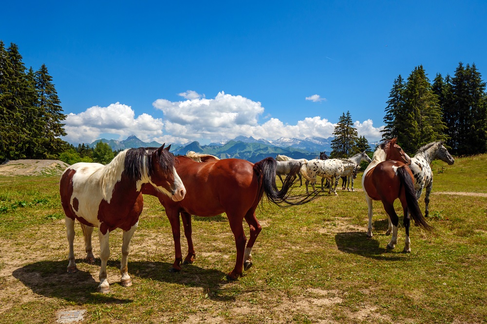
From Taninges center, follow the Montée du Sapeur (“Praz de Lys up the stone path”) on a small tarmac road and then carry on up a footpath. The stone path leads through the forest before reaching Pontet, at an altitude of 1,300m. The path then continues across the Praz de Lys pastures and you have the choice between heading towards Grand Planey and the Pic de Marcelly, or the centre of the resort. It is possible to walk up to Praz de Lys and come back down the same way. Along this itinerary, the landscapes are varied, between the villages, forests and pastures, as well as some magnificent viewpoints from the heights of Taninges and Praz de Lys, over the Mont-Blanc and Chablais mountains.
Photo Gilles Piel


the digital trails


![]()
Infos & contacts
Praz de Lys Sommand Tourisme
www.prazdelys-sommand.com
04.50.34.25.05
accueil@prazdelys-sommand.com
 Praz de Lys Sommand - Grandeur Nature - Parcours - Praz de Lys up the stone path
Praz de Lys Sommand - Grandeur Nature - Parcours - Praz de Lys up the stone path
Praz de Lys Sommand - Grandeur Nature - Parcours - Praz de Lys up the stone path
Praz de Lys Sommand - Grandeur Nature - Parcours - Praz de Lys up the stone path
Praz de Lys Sommand - Grandeur Nature - Parcours - Praz de Lys up the stone path

