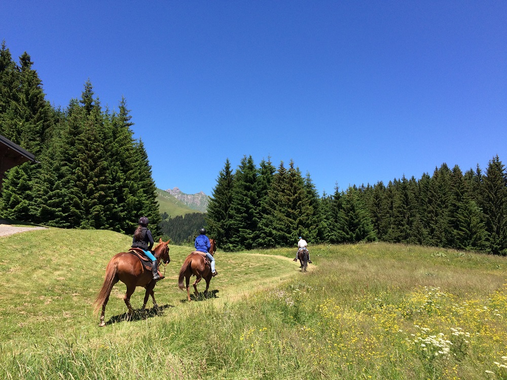
Chapels Ride Loop
Add to my favorites

Route opened

From the Giffre Valley to the Agy Plateau, the ride offers many nature and heritage discoveries...
The characteristics of the route.

Taninges (74)
- Distance 29.4 km
- Elevation gain 1010 m
- Elevation lost 1010 m
- Min. elevation 612 m
- Max. elevation. 1588 m
Area : Taninges
Report a problem Add a comment
Add your time and share your feelings
OK
Annuler


