The “Montée des Pavés”
Add to my favorites

Route closed
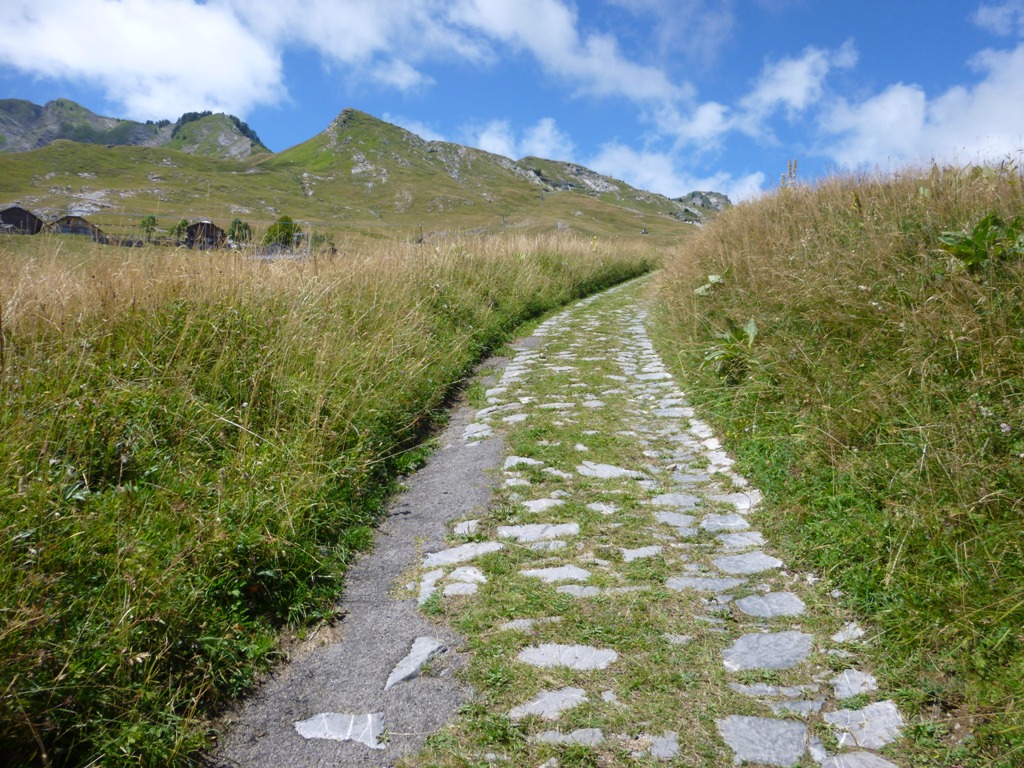
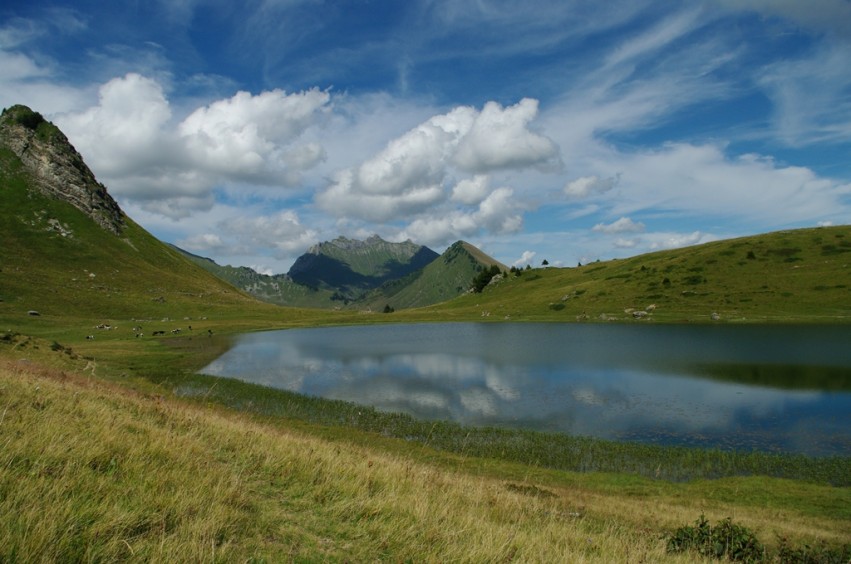
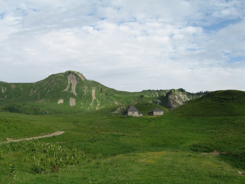
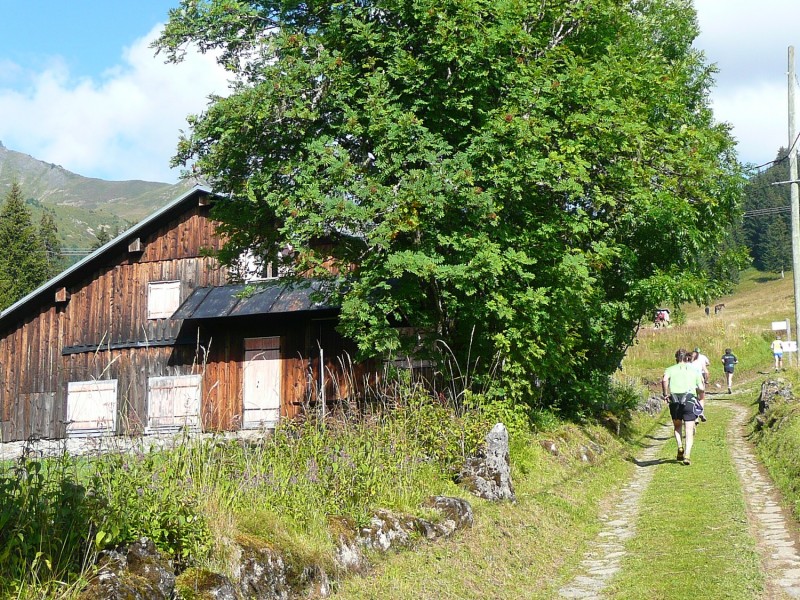
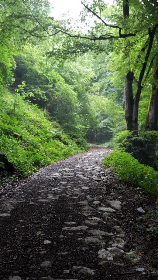
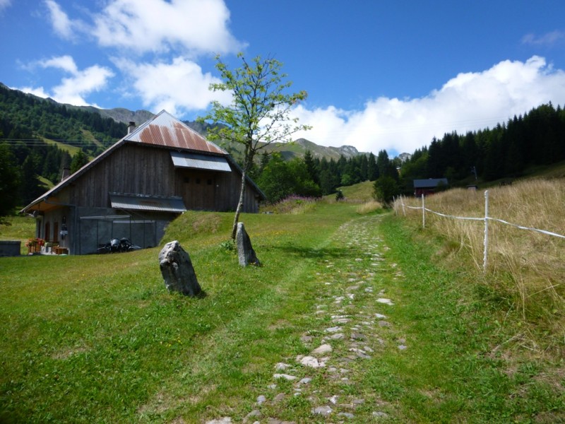
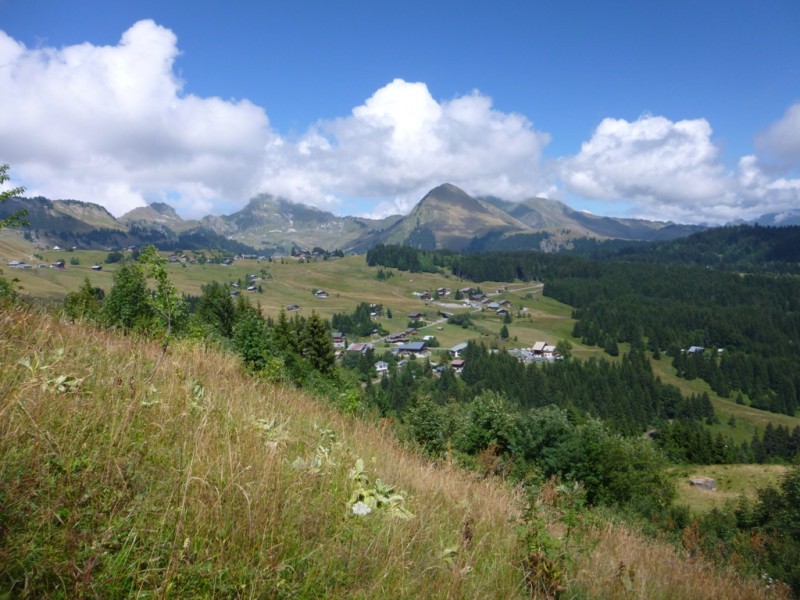
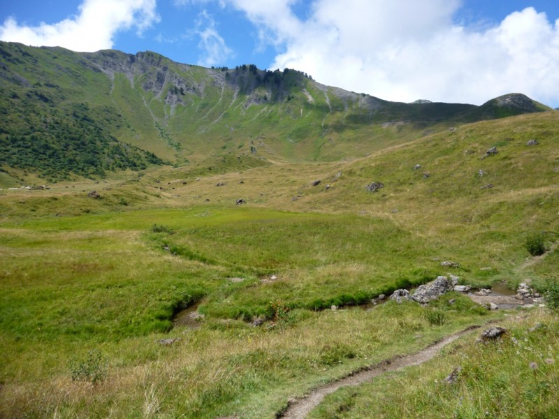
The trail is on a stone path that was built in the Middle Ages by the monks from the Chartreuse de Mélan. This path linked the village of Taninges to the Praz de Lys pastures 1,000m higher up. There is a shorter alternative without the section around the Lac de Roy. The “Montée des Pavés” is an unmissable race, held every year at the end of July, with two trail-running distances (8 or 12 km) and a walk to choose from !
The characteristics of the route.

Taninges (74)
- Distance 11.9 km
- Elevation gain 1109 m
- Elevation lost 305 m
- Min. elevation 639 m
- Max. elevation. 1679 m
- Duration (depending on pace) 1h30/3h
- Marking hiking marking signs
Add your time and share your feelings


Follow us on
the digital trails
the digital trails


![]()
Infos & contacts
Praz de Lys Sommand Tourisme
www.prazdelys-sommand.com
04.50.34.25.05
accueil@prazdelys-sommand.com
 Praz de Lys Sommand - Grandeur Nature - Parcours - The “Montée des Pavés”
Hello, world! This is a toast message.
Praz de Lys Sommand - Grandeur Nature - Parcours - The “Montée des Pavés”
Hello, world! This is a toast message.
Praz de Lys Sommand - Grandeur Nature - Parcours - The “Montée des Pavés”
Hello, world! This is a toast message.


OK
Annuler