

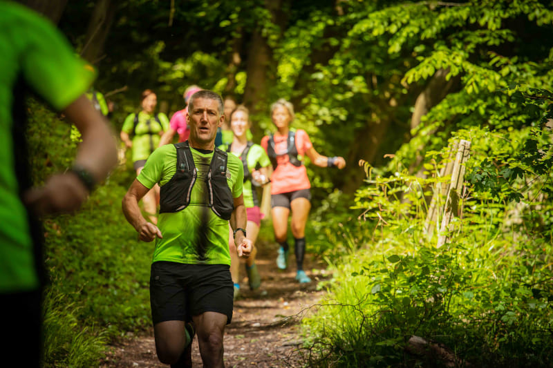
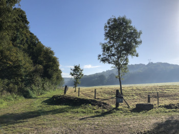
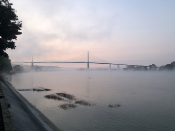
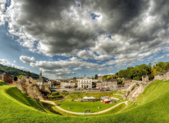
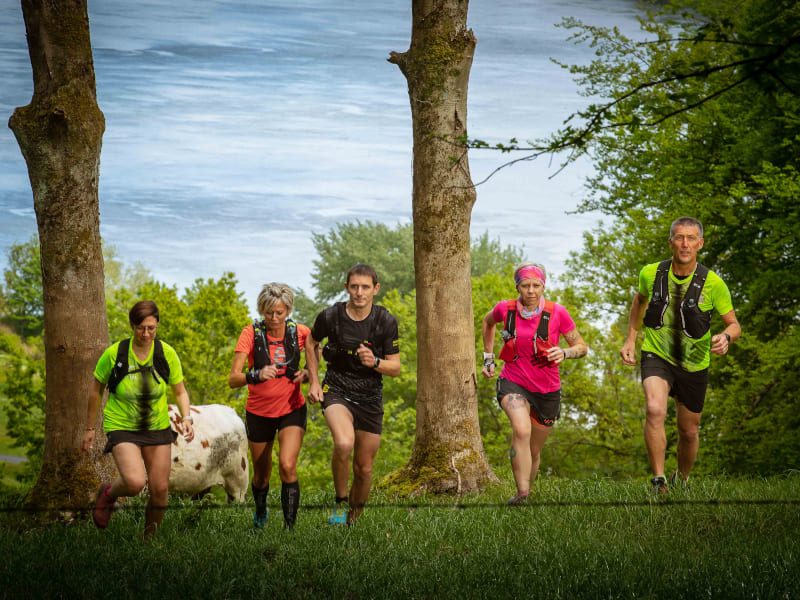
Between the Seine and the Sea, Caux Seine Normandie Tourisme offers you 8 trail routes spread over 155 kilometres of marked out and undulating paths starting from the Valasse Abbey and the former pilot's house in Villequier.
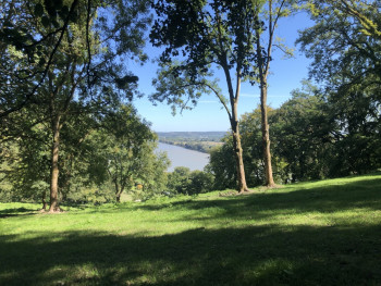
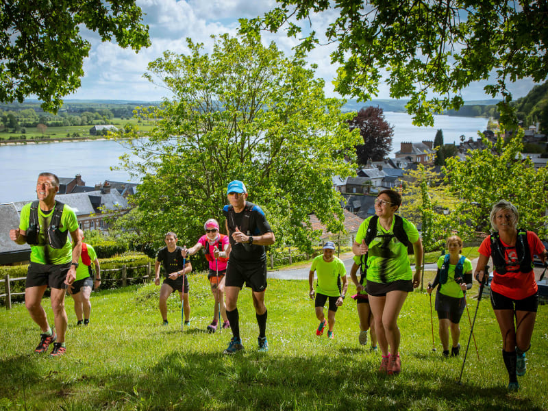
Discover a Seine valley that is anything but a long, quiet river for those of you who love effort and sensations! A Seine with panoramas as impressionistic as they are impressive, with unique lights. From the Maison des Pilotes or the Abbaye de Valasse, sporting pleasure is guaranteed but so is the pleasure of the eyes with the help of a generous nature and rare, precious and endearing sites.


8.82km 188m 188m
Abbaye du Valasse

14.46km 246m 246m
Abbaye du Valasse
21.1km 490m 490m
Gruchet-le-Valasse
20.41km 510m 510m
Abbaye du Valasse

11.38km 230m 230m
Rives-en-Seine

18.43km 351m 351m
Villequier
29.83km 790m 790m
Rives-en-Seine
39.6km 1380m 1380m
Villequier
30.06km 608m 617m
Gruchet-le-Valasse
Before your run :
- Check the weather forecast before you leave, the itineraries can be dangerous in case of bad weather
- Find out about the state of the route
- Before you leave inform someone close to you of your itinerary and the planned timetables
- Take water and food and drink
On the routes :
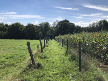
- Please respect the natural and agricultural environments you pass through
- Close the barriers after you have passed through
- Stay on the paths and do not cut the laces
- All parts of the route using public roads are subject to the Highway Code please make sure that you observe them
- Keep all your rubbish with you
To orient you during your run, routes of Rando & Trail en Caux Seine are equipped with trail directional markers. Each marker is printed with the number(s) of the itinerary(s) to be followed with their colour of difficulty (green - blue - red - black).
The trail-running markers are placed in a regular way, at each directional change. Between two trail directional markers, follow the existing hiking markers.
A problem ? Report it ! In the event of problem (lack of markings, maintenance problems, environmental problems...), do not hesitate to signal this problem by using the reporting tool available on the route page, on the website (button under the map) or in the mobile app. You will be able to geolocate the problem and also send a corresponding photo. The Espace manager will be automatically notified of your report and will be able to check and deal with the problem.

the digital trails


![]()
Infos & contacts
Caux Seine Normandie Tourist Office
Abbaye du Valasse 76210 Gruchet-le-Valasse
+33(0)2.32.70.46.32
Website
send mail
 Seine de Trail - The Trail running Area

