
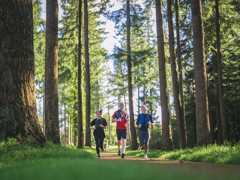
Un parcours en plein sur le Mont de Cerisy dont le dénivelé et la technicité pourront mettre le cœur et les jambes à l’épreuve. Quand les sentiers redeviennent roulants, il est possible d’allonger la foulée et de gagner en vitesse, permettant une séance complète. Ce circuit est aussi l’occasion parfaite pour découvrir le très beau site forestier du Mont de Cerisy en courant, car vous en arpenterez une bonne partie des sentiers au grès des boucles du parcours.

- Distance 5.31 km
- Elevation gain 210 m
- Elevation lost 210 m
- Min. elevation 128 m
- Max. elevation. 249 m
- Duration (depending on pace) 0h30 à 1h15
- Suivre le balisage

Get all the routes on your smartphone with the Suisse Normande Outdoor app. You'll find a host of functions:
- Take advantage of detailed IGN maps
- Download data for consultation even when you're not connected to the network
- Geolocate yourself at any time on the route and altimeter profile
- Activate the off-track alarm to be alerted if you stray from the itinerary
- Find nearby services
- Share your experience (add a report, share your lap time)...


Falaise - Suisse Normande Tourist Office
+33(0)2 31 90 17 26
Tourist Office
send mail
Suisse Normande Tourisme
+33(0)2 31 79 70 45
Tourist Office
send mail
![]()
Montagnes de Normandie
+33(0)2 31 59 13 13
Tourist Office
send mail
Val d'Orne Tourist Office
+33(0)2 33 35 86 57
Tourist Office
send mail
 Suisse Normande Outdoor - Parcours - 25 - Aventure forestière en 8 sur le Mont Cerisy
Suisse Normande Outdoor - Parcours - 25 - Aventure forestière en 8 sur le Mont Cerisy
Suisse Normande Outdoor - Parcours - 25 - Aventure forestière en 8 sur le Mont Cerisy
Suisse Normande Outdoor - Parcours - 25 - Aventure forestière en 8 sur le Mont Cerisy
Suisse Normande Outdoor - Parcours - 25 - Aventure forestière en 8 sur le Mont Cerisy

