

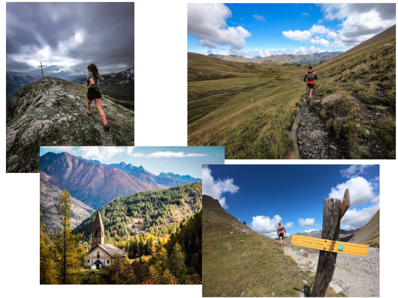
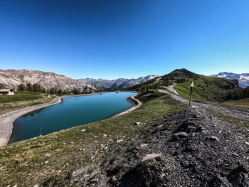
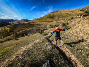
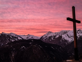
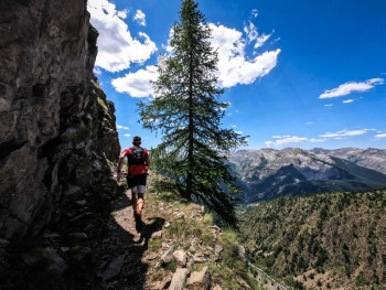
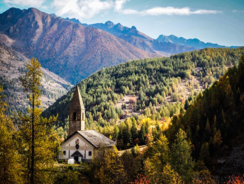
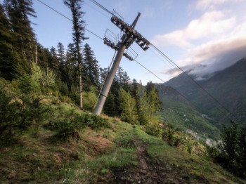
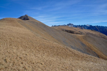
The Haute Tinée valley opens the doors to wide open spaces at less than 1h30 from Nice: a huge terrace of greenery at altitude. A happiness with only one witness: Nature, which invites you in its sanctuary, the Mercantour National Park.
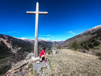
In the heart of a protected nature, the trail is practiced at the rhythm of the seasons almost all year long and allows you to discover high altitude lakes and a multitude of breathtaking landscapes.
Trail lovers, explore this magnificent playground and discover different routes between green forests, mineral and lunar sceneries up to the majestic summits of the Southern Alps... freedom is yours!


44.63km 3340m 3360m
Saint-Étienne-de-Tinée

6.36km 320m 320m
Auron

7.97km 350m 350m
Auron

13.21km 780m 780m
Auron
10.38km 640m 640m
Auron

12.54km 650m 650m
Auron

13.37km 790m 790m
Saint-Étienne-de-Tinée

17.65km 990m 990m
Auron

25.6km 1500m 1500m
Auron
45.09km 3310m 3310m
Auron
7.75km 670m 670m
Saint-Étienne-de-Tinée
17.28km 1410m 1410m
Saint-Étienne-de-Tinée

14.97km 680m 680m
Saint-Étienne-de-Tinée

23.3km 1360m 1360m
Saint-Dalmas-le-Selvage

26.4km 2220m 2220m
Saint-Étienne-de-Tinée

18.19km 1150m 1150m
Saint-Dalmas-le-Selvage

19.84km 1450m 1450m
Saint-Étienne-de-Tinée

29.3km 1970m 1970m
Saint-Dalmas-le-Selvage

14.71km 810m 810m
Saint-Étienne-de-Tinée
14.27km 1160m 1160m
Saint-Étienne-de-Tinée
9.33km 610m 610m
Saint-Dalmas-le-Selvage

12.88km 700m 700m
Saint-Dalmas-le-Selvage

11.47km 610m 610m
Saint-Dalmas-le-Selvage

22.89km 1320m 1320m
Saint-Dalmas-le-Selvage

26.75km 1480m 1480m
Saint-Dalmas-le-Selvage

48.39km 2470m 2470m
Saint-Dalmas-le-Selvage
163.3km 9420m 11000m
Saint-Étienne-de-Tinée


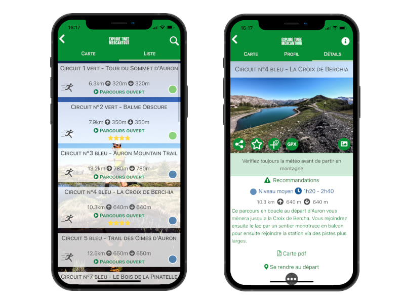
Auron Outdoor is the application you need to plan your outings and discover this magnificent playground.
Features of the application :
- Caching of maps and routes for use off network connection
- Location at any time on the map and the profile thanks to the GPS of your smartphone
- Route exit alert
- Find the latest sports news of the territory
- Weather on the spot
- Add achievements and reports
- Emergency module

the digital trails


![]()
Info & contacts
Offices de Tourisme du territoire
Auron : +33(0)4 93 23 02 66
St Etienne de Tinée : +33(0)4 93 02 41 96
St Dalmas le Selvage : +33(0)4 93 02 46 40
 Auron Outdoor - Auron Outdoor Espace trail

