
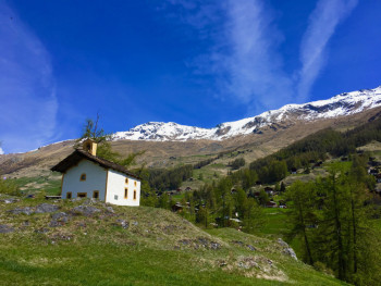
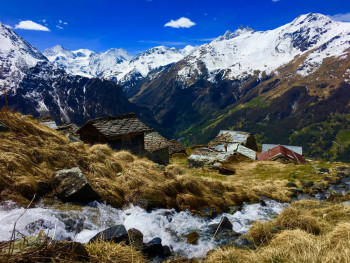
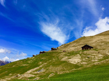
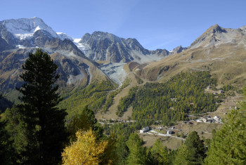
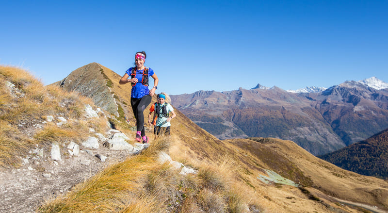
Le Val d'Hérens vous propose 20 itinéraires de trail pour vous entrainer et découvrir la vallée, ses sommets, son patrimoine.Au départ d'un des 7 villages de la vallée, les itinéraires sont identifiés par niveau de difficulté matérialisés par une couleur :
- vert : niveau facile
- bleu : intermédiaire
- rouge : difficile
- noir : expert
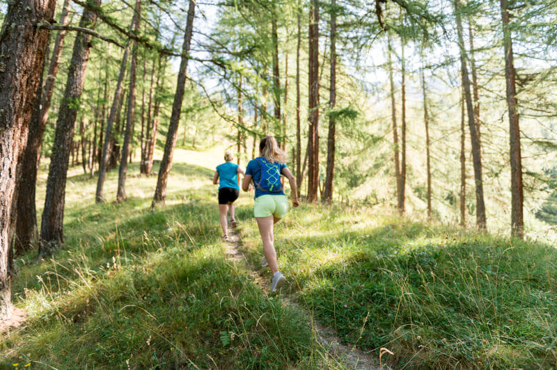
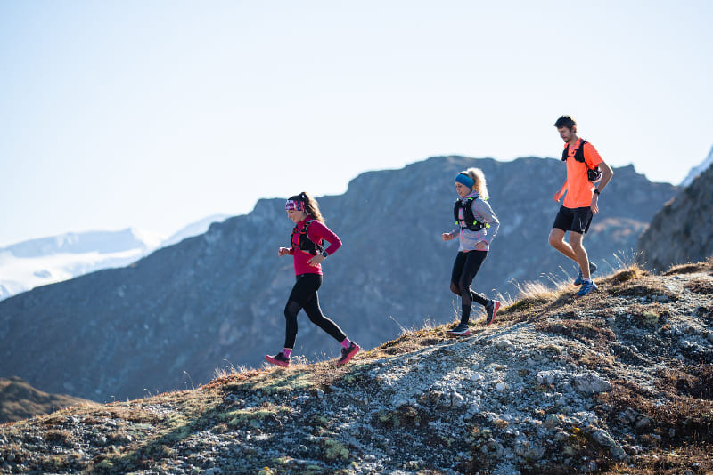
Le Val d'Hérens vous propose différents types de parcours :
- Rando-trail : parcours de trail classique alternant des montées et des descentes sur des sentiers/chemins
- Verticale : parcours de trail sur sentiers/chemins constitué d'une unique montée
- Itinérance : parcours à réaliser sur plusieurs jours avec des hébergements disponibles à chaque étape (refuge, gîte...)
- Défitrail : parcours de trail chronométré grâce à des balises bluetooth qui interagissent avec votre smartphone


8.65km 370m 370m
Evolène
Route opened

9.8km 510m 520m
Evolène
Route opened

11.5km 500m 500m
Evolène
Route opened

13km 160m 800m
Arolla
Route opened

15.49km 1239m 601m
Evolène
Route opened
18.6km 990m 990m
Evolène
Route opened

33.72km 1994m 1994m
Evolène
Route opened

12.28km 775m 775m
Les Collons
Route opened

21km 1000m 1000m
Vex

23.33km 1310m 1310m
Hérémence
Route closed
22.74km 1310m 1310m
Hérémence

11.9km 640m 640m
Nax

20.9km 1400m 1400m
Mase

15.77km 1030m 1030m
St-Martin VS
Route closed
30.98km 2170m 2170m
St-Martin VS

16.37km 770m 510m
Thyon
Route closed


Before your run :
- Check the weather forecast before you leave, the itineraries can be dangerous in case of bad weather
- Find out about the state of the route before you leave
- Inform someone close to you of your itinerary and the planned timetables
- Take water and food and drink
On the routes :
- Please respect the natural and agricultural environments you pass through
- Close the barriers after you have passed through
- Stay on the paths and do not cut the laces
- All parts of the route using public roads are subject to the Highway Code please make sure that you observe them
- Keep all your rubbish with you
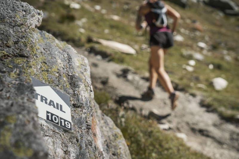
To orient you during your run, routes of Alpes Trail Val d'Hérens are equipped with trail directional markers. Each marker is printed with the number(s) of the itinerary(s) to be followed with their colour of difficulty (green - blue - red - black) or their particularity (orange = vertical).
The trail-running markers are placed in a regular way, at each directional change. Between two trail directional markers, follow the existing hiking markers.
A problem ? Report it ! In the event of problem (lack of markings, maintenance problems, environmental problems...), do not hesitate to signal this problem by using the reporting tool available on the route page, on the website (button under the map) or in the mobile app. You will be able to geolocate the problem and also send a corresponding photo. The Espace manager will be automatically notified of your report and will be able to check and deal with the problem.

the digital trails


![]()
Info & contacts
Saint Martin Tourisme
Rue de l’Église 7
1969 SAINT MARTIN (SUISSE)
+41 (0) 27 281 24 74
trail@valdherens.ch
 Alpes Trail Val d’Hérens - Espace Trail

