3 - La Combe de l'Aiguille Noire - VTTAE Itinerary
Add to my favorites

Warning
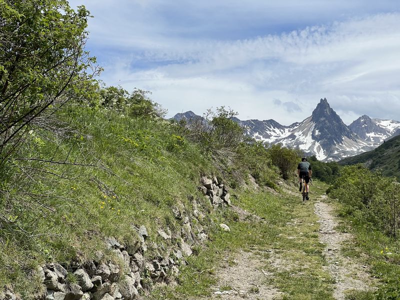
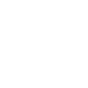
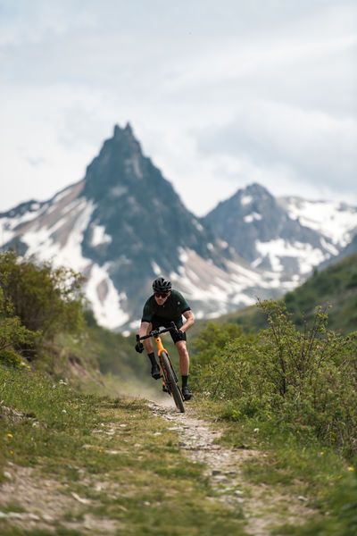
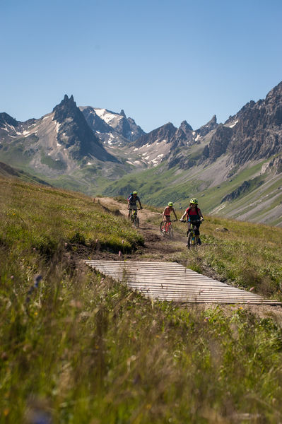
This intermediate-level route, mainly in the Alpine pastures, offers superb views of the surrounding mountains. At Diseurs, take a break to admire the Aiguille Noire.
Estimated duration: 2h to 3h
The characteristics of the route.
Office de tourisme de Valloire (73)
- Distance 12.9 km
- Elevation gain 640 m
- Elevation lost 640 m
- Min. elevation 1401 m
- Max. elevation. 2020 m
- Duration (depending on pace) 2h30
- Marking Yes
To activate geolocation, click on the map icon.Marking : The trail is marked with blue signs.Equipments : Free car park, Car park, Picnic area, Admission fee : Free access.Opening : From 24/04 to 23/10.
Subject to favorable weather.Step by step description : Departure - From the tourist office, head up rue des Grandes Alpes towards the hamlet of Les Verneys 1 - Once you've crossed the bridge, walk along the parking lot to take the footbridge on the left of the main road to follow the "Vitta Vittel" fitness trail 2 - Once you're in front of the equestrian center, follow the wide dirt path to the right of the building. After a short climb, you'll see the Chapelle Saint Pierre. 3- Continue uphill until you pass the sheepfold, then continue on the 4x4 track until you reach the junction with the Selles track. 4 - Go slightly up the Selles track to take the single on your left through the alpine chalets. 5 - At the pate d'oie, fork left (avoid the Geneuil chapel) to descend towards l'Archaz. Watch out for pedestrians towards l'Archaz. 6 - You'll arrive in the center of Valloire via le Pontet.
Report a problem Add a comment
Website
Add your time and share your feelings
Services nearby

L'Alpage Décoration
Rue des Grandes Alpes

Valloire Tourist Office
Rue des Grandes Alpes
Les loueurs particuliers
Valloire

Bubble Waffle
212 rue des grandes alpes

Bubble Waffle
212 rue des grandes alpes


Information updated on 2024-06-07 by Office de Tourisme de Valloire


Follow us on
the digital trails
the digital trails


![]()
Valloire Tourist Office
210 rue des Grandes Alpes - 73450 Valloire
+33(0)4 79 59 03 96
Office de Tourisme
Contact mail


OK
Annuler