Autour de la pointe D'Emy - 4-day walking itinerary
Add to my favorites

Caution! Zone of vigilance near the route
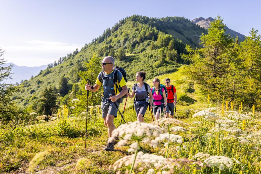
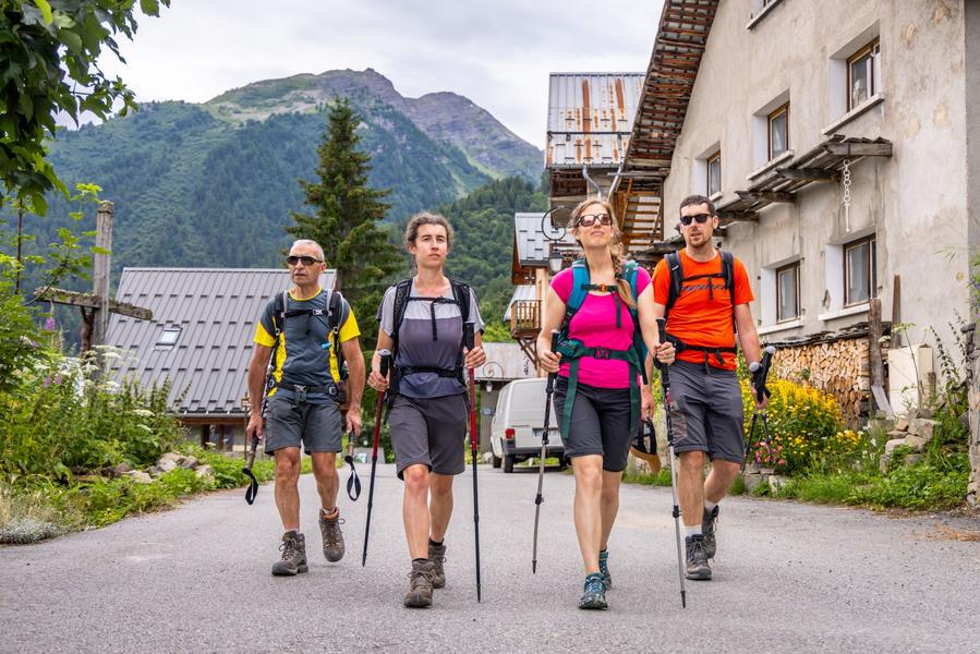
Located in the Arves massif, the pointe d'Emy is a summit separating Albiez from Karellis and Valloire. This itinerary offers a wild, unspoilt setting for seasoned hikers in search of tranquillity and authenticity.
The characteristics of the route.

Zone de loisirs des Léchères, 124 route de Villargondran (73)
- Distance 57.15 km
- Elevation gain 3320 m
- Elevation lost 3320 m
- Min. elevation 1322 m
- Max. elevation. 2900 m
- Duration (depending on pace) 6h45
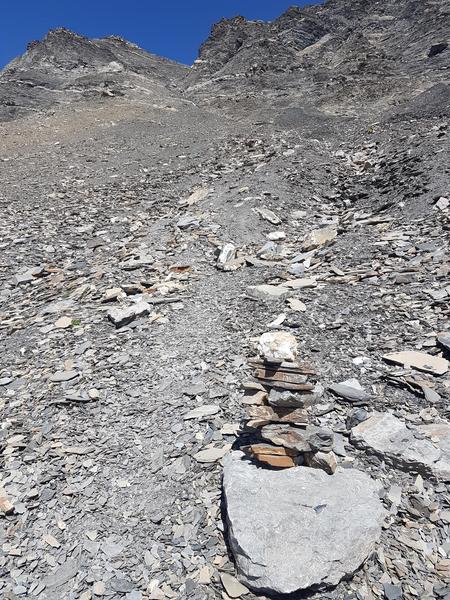
- Marking Yes
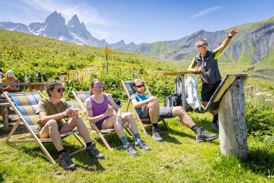
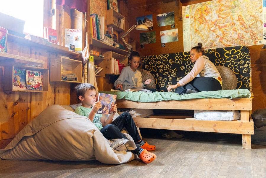
Departing from the Albiez-le-Jeune recreation area, your itinerary will take you to Albiez-Montrond, Col du Mollard to spend your first night at the Chalet d'la Croë, in alpine pasture beneath the Aiguilles d'Arves. The following day you'll reach the Club Alpin des Aiguilles d'Arves refuge (Valloire commune) via the alpine and challenging Epaisseur pass. From the refuge, you'll take a balcony trail to the village of Albanne for a 3rd night. The following day, via the resort of Les Karellis, you'll climb the pass below the Mont Tissot cross to return to Albiez-le-Jeune. This tour lasts 4 days and 3 nights.Marking : Yellow paint, iron stakes for high-altitude mountain pastures, yellow Tour du pays des Aiguilles d'Arves plaques.Good plans : We advise you to book accommodation well in advance, given its small capacity. Map-reading skills are essential.
Recommended equipment:
- Mountain boots suitable for walking on varied terrain.
- Rain gear
- Warm clothing
- Pair of telescopic poles
- Tour des Aiguilles d'Arves IGN map
- Sufficient water and food
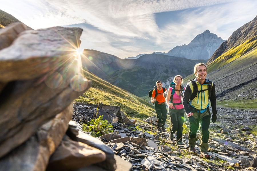
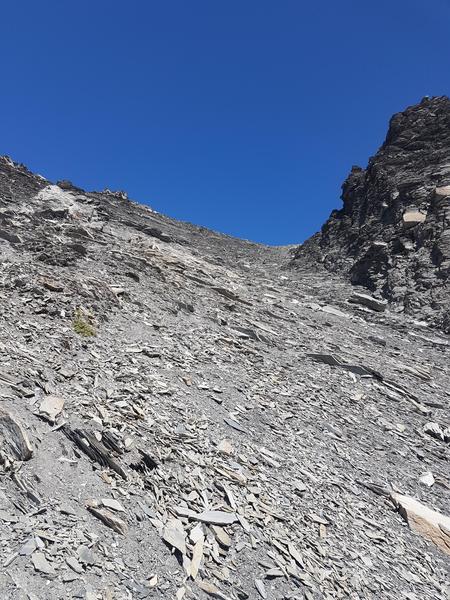
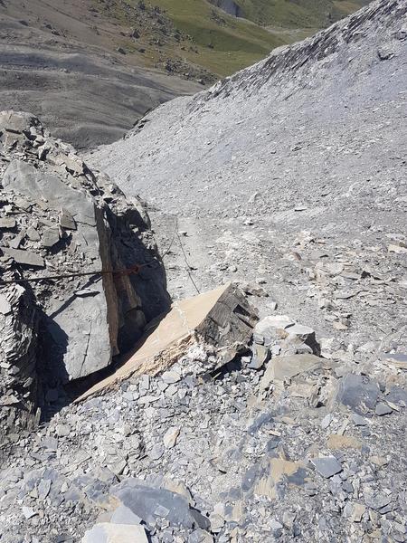
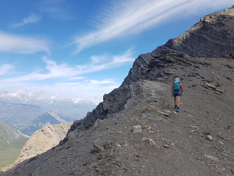
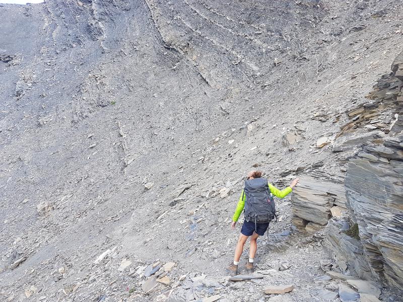
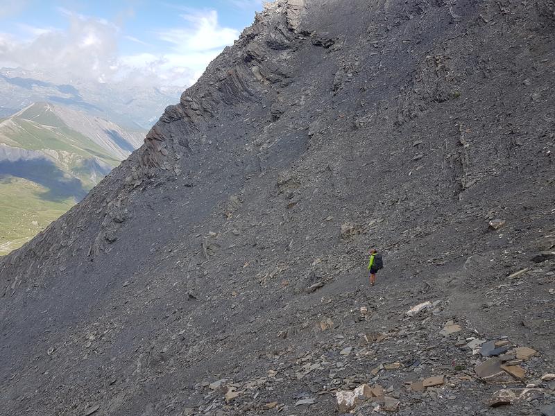
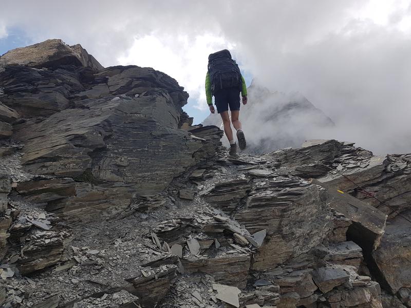
- Cheques or cash (bank terminals not always available in refuges)Delicate passages : The passage de l'Epaisseur represents a difficulty on this route. Only experienced hikers accustomed to varied terrain can undertake this route, snow and weather conditions permitting.
To reach the Col de l'Epaisseur at Plan Pradin, on the Albiez-Montrond side, you have to follow a scree corridor on a very steep, unstabilized slope. There is a risk of rockfalls, which is why the Epaisseur pass is not recommended for large groups, to avoid sending more or less unstable rocks downstream.
Make sure you check snow conditions before setting off, as there may still be snow in summer.Admission fee : Free access.Opening : From 20/06 to 22/09 daily.
Subject to favorable weather.Step by step description : Start : Albiez-le-Jeune
1/ Albiez-le-Jeune -> Chalet d'la Croë : 16.7 km / D+ 932 m / D- 221 m
2/ Chalet d'la Croë -> Refuge des Aiguilles d'Arves: 9 km / D+ 878 m / D- 712 m
3/ Refuge des Aiguilles d'Arves -> Albanne: 17.6km / D+ 674m / D- 1293m
4/ Albanne -> Albiez-le-Jeune: 13.3 km / D+ 831 m / D- 1088 m
Report a problem
Around the Point d'Emy - 4-day itinerary
Add your time and share your feelings
Services nearby

Opinel Museum
Saint-Jean-de-Maurienne

The Fort du Télégraphe
Col du Télégraphe

Portigliatti Mathieu - Paysagiste & entretien espaces verts
Valloire

Infirmières libérales
Le Col
Espace Alu
Saint-Michel-de-Maurienne


Information updated on 2026-05-06 by Office de tourisme Intercommunal Cœur de Maurienne


Follow us on
the digital trails
the digital trails


![]()
Valloire Tourist Office
210 rue des Grandes Alpes - 73450 Valloire
+33(0)4 79 59 03 96
Office de Tourisme
Contact mail
 Valloire Galibier Expériences - Parcours - Autour de la pointe D'Emy - 4-day walking itinerary
Hello, world! This is a toast message.
Valloire Galibier Expériences - Parcours - Autour de la pointe D'Emy - 4-day walking itinerary
Hello, world! This is a toast message.
Valloire Galibier Expériences - Parcours - Autour de la pointe D'Emy - 4-day walking itinerary
Hello, world! This is a toast message.


OK
Annuler