
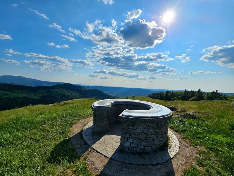
A beautiful loop with a difference in altitude starting from the village of Le Ménil. The first part of the route towards the Tête des Champs climbs steadily, with a few steeper sections. The climb is pleasant and alternates between paths, minor roads and meadows. Once at the top, you can enjoy the panoramic views before heading back towards the Col de la Lochère. Once over the pass, a final ascent takes you to Haut de la Lochère along a pleasant woodland path. You'll head back down to the starting village on a challenging single-track path to round off this outing.
Please note : this route is closed in winter when the cross-country ski trails are open (shared sections).

- Distance 17.59 km
- Elevation gain 730 m
- Elevation lost 730 m
- Min. elevation 525 m
- Max. elevation. 982 m
- Duration (depending on pace) 2h à 4h
- Suivre le balisage Trail-running n°6 blue + Hiking

Find all the routes of the Espace Trail des Ballons des Vosges free of charge on your smartphone using Trail Connect app, in ‘Outdoor Destinations’ section.
Features available :
- Geolocation at any time on the map and elevation profile
- Download data for consultation even in offline mode
- View trail opening status
- Download GPX file
- 'Go to start’ button for easy access to the start of the routes
- ...


the digital trails

![]()
Office de tourisme Communautaire
des Ballons des Hautes Vosges
www.ballons-hautes-Vosges.com
03 56 11 00 90
 Espace Trail des Ballons des Vosges - Parcours - Route 6 - La Lochère
Espace Trail des Ballons des Vosges - Parcours - Route 6 - La Lochère
Espace Trail des Ballons des Vosges - Parcours - Route 6 - La Lochère
Espace Trail des Ballons des Vosges - Parcours - Route 6 - La Lochère
Espace Trail des Ballons des Vosges - Parcours - Route 6 - La Lochère

