How it works ?


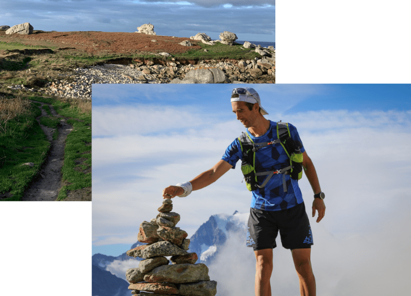
Espace trail
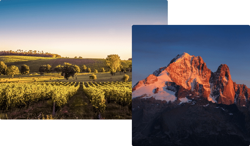
Each territory has its own Espace trail
Our Trail Spaces are adapted to the territories, and not the opposite... You will therefore discover in each area routes adapted to the local specificities and highlighting the natural and cultural heritage.
The routes are divided into different categories and levels of difficulty to better meet your expectations: choose the route that suits you to discover these magnificent playgrounds!
The routes are divided into different categories and levels of difficulty to better meet your expectations: choose the route that suits you to discover these magnificent playgrounds!
Routes categories
Randotrail
Classic trail running route alternating ascents and descents on paths and trails

Trail running challenge
Trail running route timed thanks to bluetooth beacons that interact with your smartphone

Competition
Route used for a trail running competition and can be followed for trainings

Winter trail
Route open in winter for trail running on snow-covered terrain

Itinerant route
Route to be completed over several days with accommodation available at each stage

Joëlette
Trail running route allowing the passage of a joëlette for people with reduced mobility

Vertical route
Trail running route on trails/paths consisting of a single ascent.
Skyrun
Trail running route in the mountains with steep sections

Enduro
Trail running route in the mountains using ski lifts

Urban trail
Urban route allowing you to discover the heritage with playful passages (stairs, narrow passages...)

Workouts
Route with training exercises
Trail & bike
Route on trails/paths with alternating portions for running and MTB

Night route
Running course equipped with retro-reflective markers suitable for night-time practice
Levels of difficulty

Easy level
Route with no technical difficulty, less than 10 km and less than 500 m of ascent.

Medium level
Route with limited technical difficulties, less than 20 km and less than 1000 m of ascent.

Difficult level
Route with frequent technical difficulties, less than 30 km and less than 2000 m of ascent.

Expert level
Route with many technical difficulties, more than 30 km or more than 2000 m of ascent.
Advices
Before running
- Check the weather forecast up to the time of departure.
- Inform someone close to you of your itinerary and planned times.
- Find out more about the state of the route and its difficulty thanks to the website, the smartphone application or at the tourism office.
On the routes
- Respect the natural and agricultural environments you pass through!
- Stay on the paths and do not cut any laces.
- Keep all your waste with you
After your trip
- Share your time with the other trail runners, from the website or the smartphone application of the territory.
- In the event of a problem encountered in the field (environmental, signposting, other), inform the route manager via the reporting feature.
It's up to you!
Discover, run& share your time
Profitez de votre venue sur l'Espace trail pour découvrir les richesses du territoire... en courant !
Une fois votre parcours terminé, pensez à publier votre chrono sur le portail web de l'Espace trail ou dans l'appli mobile.
Vous pourrez également noter le parcours et préciser les conditions rencontrées (météo, état du terrain).
Une fois votre parcours terminé, pensez à publier votre chrono sur le portail web de l'Espace trail ou dans l'appli mobile.
Vous pourrez également noter le parcours et préciser les conditions rencontrées (météo, état du terrain).

You encountered a problem in the field ?
1. Login with your account
You must be identified with your user account in order to be able to file a report on the mobile application of the territory or the website. Then go to the screen of the route concerned.
2. Locate and explain
You must locate your report on the map and explain the problem encountered. Do not hesitate to add a photo to help the Espace trail administrator...
3. Stay tuned
As soon as your report has been submitted, you will receive a confirmation e-mail. You will then be informed by e-mail of the follow-up given to your report by the Espace trail administrator.


Upgrade your playground
Follow us on
the digital trails
the digital trails


