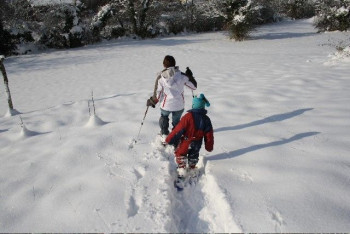
Outdoor activities to discover !
routes filtered
Only my favorites
Delete filters
Around me :
< 5km
< 10km
< 25km
< 50km
Inactive
Difficulties :
Easy
Medium
Difficult
Expert
Durée :
<1h
1-2h
2-3h
3-4h
>4h
Distance (km) :
<10
10-25
25-50
50-75
>75
Distance (km) :
<25
25-50
50-100
100-150
>150
Elevation gain (m) :
<500
500-1000
1000-1500
1500-2500
>2500
Elevation lost (m) :
<500
500-1000
1000-1500
1500-2500
>2500
Tags :
Areas :
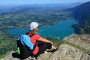
Mont Grêle and Saint-Michel pass
18.1km 1120m 1120m
Lépin-le-Lac
18.1km 1120m 1120m
Lépin-le-Lac
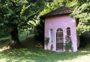
Ste Rose chapel and ruins of Château de l’Epine
5.2km 290m 290m
Nances
5.2km 290m 290m
Nances
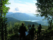
Château Richard and Croix du Signal
16.1km 1020m 1020m
Novalaise
16.1km 1020m 1020m
Novalaise
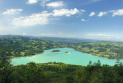
Hiking route : the routes of the Epine
7.9km 500m 500m
Aiguebelette-le-Lac
Route opened
7.9km 500m 500m
Aiguebelette-le-Lac
Route opened
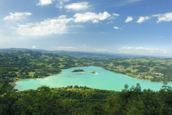
The Lake Aiguebelette Balcony Route
11.7km 460m 460m
Nances
Route opened
11.7km 460m 460m
Nances
Route opened
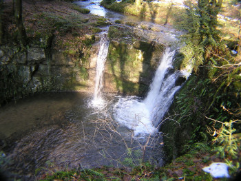
Follaton path
6.6km 210m 210m
Dullin
6.6km 210m 210m
Dullin
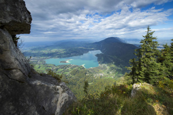
Mont Grêle summit
12.9km 860m 860m
Attignat-Oncin
12.9km 860m 860m
Attignat-Oncin
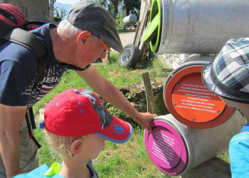
La vache et le Follaton
4.5km 150m 150m
Dullin
Route opened
4.5km 150m 150m
Dullin
Route opened
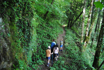
Tour des Charbonnières: A10 Hiking Path
5.3km 240m 240m
Attignat-Oncin
5.3km 240m 240m
Attignat-Oncin
Circuits de la pomme
9.1km 260m 260m
Novalaise
Route opened
9.1km 260m 260m
Novalaise
Route opened
International
France


