
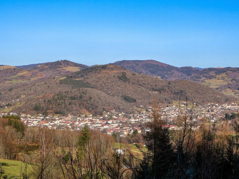
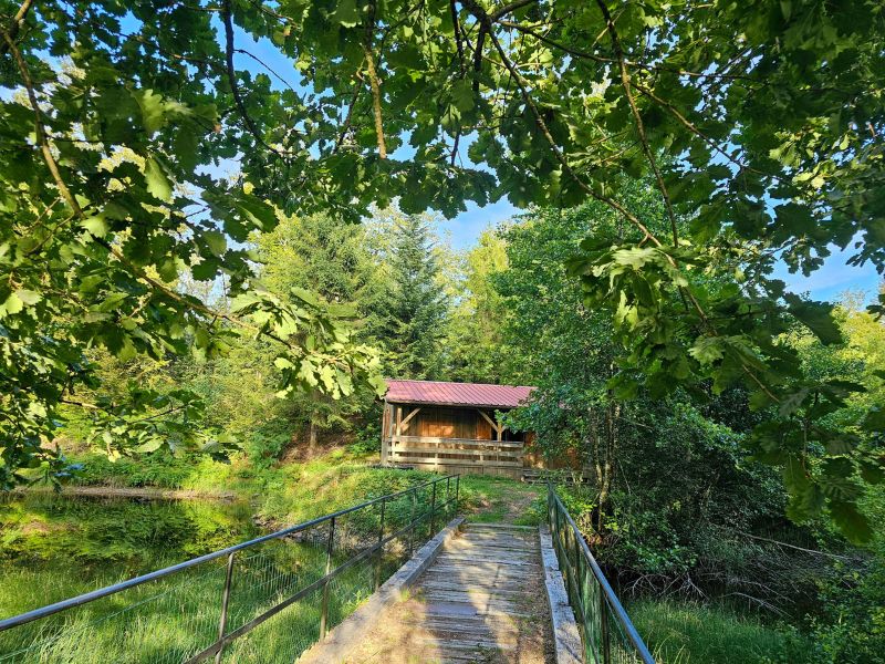
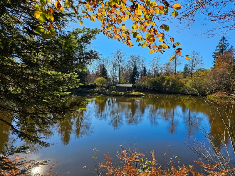
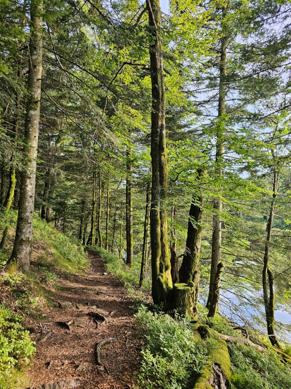
This route starts with a good warm-up on the slightly uphill greenway, before heading into the undergrowth to reach the ponds. At kilometre 2.5, a steep climb awaits you: it's best to keep your feet under you when tackling this section, which is well known to participants in the Trail des Hautes-Mynes! Once you reach the ponds, the terrain becomes more rolling, ideal for changing pace on pleasant paths. The loop comes to a gentle end on lovely downhill paths and forest tracks.

- Distance 10.26 km
- Elevation gain 480 m
- Elevation lost 480 m
- Min. elevation 465 m
- Max. elevation. 761 m
- Duration (depending on pace) 1h à 2h
- Suivre le balisage Trail-running n°2 green + Hiking

Find all the routes of the Espace Trail des Ballons des Vosges free of charge on your smartphone using Trail Connect app, in ‘Outdoor Destinations’ section.
Features available :
- Geolocation at any time on the map and elevation profile
- Download data for consultation even in offline mode
- View trail opening status
- Download GPX file
- 'Go to start’ button for easy access to the start of the routes
- ...

Manu88160
Manu88160


the digital trails

![]()
Office de tourisme Communautaire
des Ballons des Hautes Vosges
www.ballons-hautes-Vosges.com
03 56 11 00 90
 Espace Trail des Ballons des Vosges - Parcours - Route 2 - Le Tacot du Thillot
Espace Trail des Ballons des Vosges - Parcours - Route 2 - Le Tacot du Thillot
Espace Trail des Ballons des Vosges - Parcours - Route 2 - Le Tacot du Thillot
Espace Trail des Ballons des Vosges - Parcours - Route 2 - Le Tacot du Thillot
Espace Trail des Ballons des Vosges - Parcours - Route 2 - Le Tacot du Thillot

