
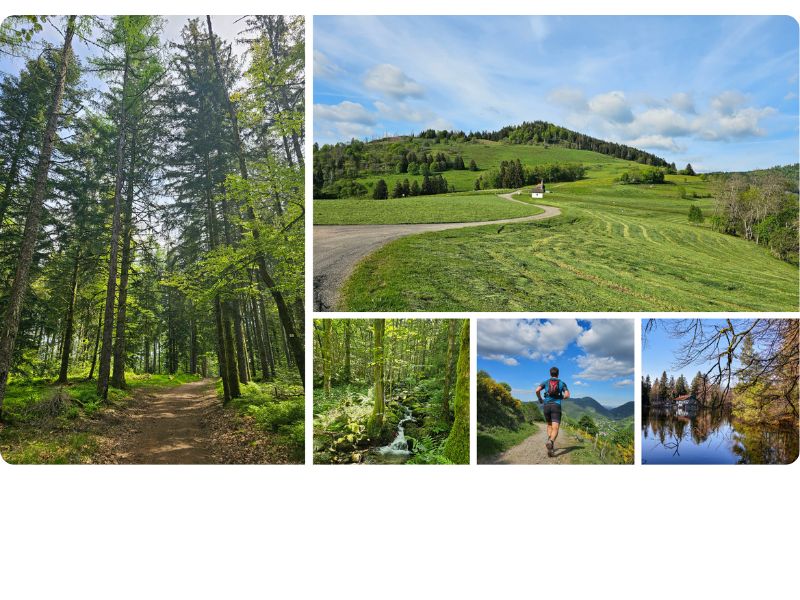
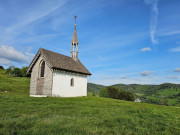
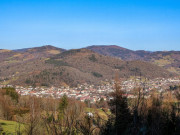
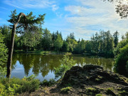
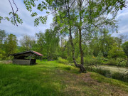
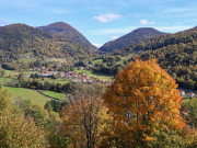
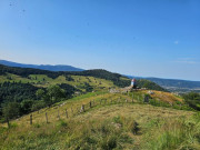
Nestling at the foot of the Ballons d'Alsace and Servance mountains, " Le Thillot is" station an ideal base from which to explore the Hautes Vosges trail network, with its unspoilt countryside, varied landscapes and mountain authenticity.
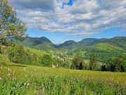
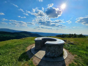
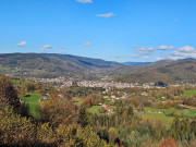
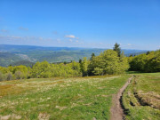
Running on the trails of the Ballons des Hautes Vosges means plunging into the heart of an authentic and wild nature. Between technical climbs, windswept ridges and moss-covered undergrowth, the terrain is demanding but every effort is rewarded with spectacular views. 14 signposted routes for all levels await you to discover authentic Vosges trails !
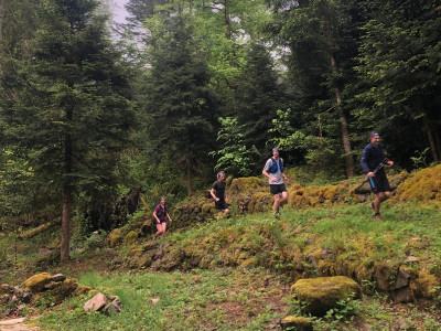
opening of the Espace Trail
The marking of the routes in the Espace Trail is finished. While waiting for the installation of departure panels and the official opening, use the GPX files or pdf sheets to guide you on the routes.
More informations about signposts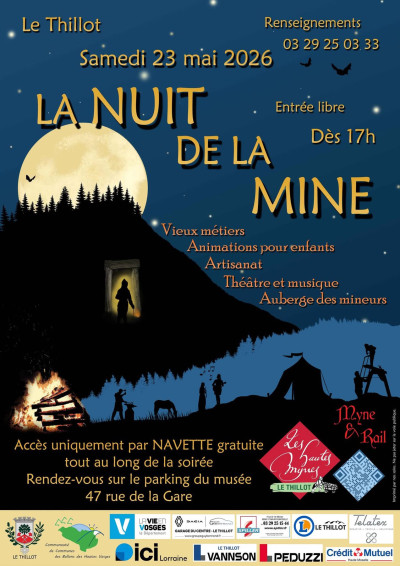
Discover Hautes Mynes area
Plunge into the heart of the Vosges mining adventure! Discover the Hautes-Mynes du Thillot, a unique historic site where the galleries dug by 17th-century miners tell the incredible story of copper mining under the Dukes of Lorraine.
Discover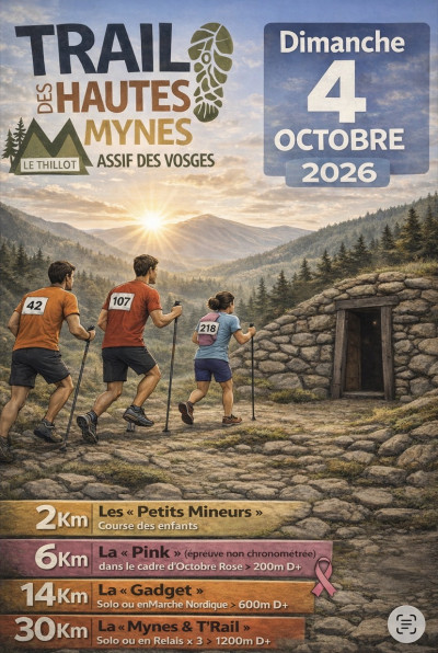
Trail des Hautes-Mynes
Join us on 4 October in Le Thillot for another edition of the Trail des Hautes-Mynes. 4 races to discover !
Discover
9.44km 466m 466m
Le Thillot
Route opened
10.26km 480m 480m
Le Thillot
Route opened
11.82km 490m 490m
Bussang
Route opened
16.21km 680m 680m
Saint-Maurice-sur-Moselle
Warning
14.57km 450m 450m
Ramonchamp
Route opened
17.59km 730m 730m
Le Ménil
Route opened
17.76km 710m 710m
Le Thillot
Route opened
16.28km 900m 900m
Saint-Maurice-sur-Moselle
Route opened
22.18km 870m 870m
Le Thillot
Route opened
22.39km 893m 893m
Fresse-sur-Moselle
Route opened
24.34km 920m 920m
Le Ménil
Route opened
30.75km 1241m 1241m
Le Thillot
Warning
48.5km 1980m 1980m
Bussang
Warning
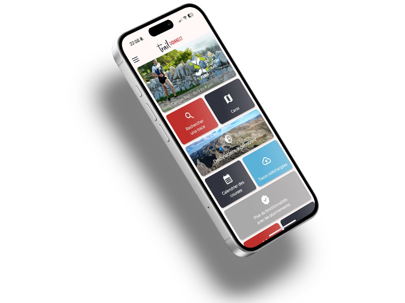
Find all the routes of the Espace Trail des Ballons des Vosges free of charge on your smartphone using Trail Connect app, in ‘Outdoor Destinations’ section.
Features available :
- Geolocation at any time on the map and elevation profile
- Download data for consultation even in offline mode
- View trail opening status
- Download GPX file
- 'Go to start’ button for easy access to the start of the routes
- ...

the digital trails

![]()
Office de tourisme Communautaire
des Ballons des Hautes Vosges
www.ballons-hautes-Vosges.com
03 56 11 00 90
 Espace Trail des Ballons des Vosges - Page d'accueil

