
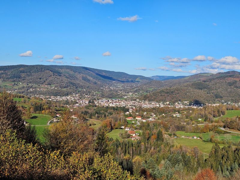
This route begins with a leisurely ride through Le Thillot, ideal for warming up before the first beautiful ascent through the forest towards the shelter of the Pic des Corbeaux. An optional diversions leads to the summit of the Pic, offering superb views over the Haute-Moselle valley and a large part of the route. The descent is through the forest to Fresse, before a quick crossing of the valley. The second ascent then begins, first to the peaceful Etang du Frac, then to the Col de Couard, still on beautiful forest paths. The return journey takes in the historic site of Hautes-Mynes, an original crossing that plunges you into the heart of local history. The hilly forest at the end of the route requires a final effort before returning to Le Thillot, the starting point for this varied and immersive loop.

- Distance 17.76 km
- Elevation gain 710 m
- Elevation lost 710 m
- Min. elevation 486 m
- Max. elevation. 781 m
- Duration (depending on pace) 2h à 4h
- Suivre le balisage Trail-running n°7 blue + Hiking

Find all the routes of the Espace Trail des Ballons des Vosges free of charge on your smartphone using Trail Connect app, in ‘Outdoor Destinations’ section.
Features available :
- Geolocation at any time on the map and elevation profile
- Download data for consultation even in offline mode
- View trail opening status
- Download GPX file
- 'Go to start’ button for easy access to the start of the routes
- ...


the digital trails

![]()
Office de tourisme Communautaire
des Ballons des Hautes Vosges
www.ballons-hautes-Vosges.com
03 56 11 00 90
 Espace Trail des Ballons des Vosges - Parcours - Route 7 - Les Hautes Mynes
Espace Trail des Ballons des Vosges - Parcours - Route 7 - Les Hautes Mynes
Espace Trail des Ballons des Vosges - Parcours - Route 7 - Les Hautes Mynes
Espace Trail des Ballons des Vosges - Parcours - Route 7 - Les Hautes Mynes
Espace Trail des Ballons des Vosges - Parcours - Route 7 - Les Hautes Mynes

