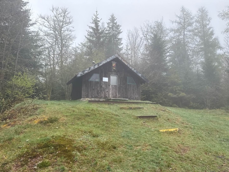
Route 4 - Le tour des abris
Add to my favorites

Ouverture des parcours fin avril. En attendant la finalisation du balisage des circuits, utilisez le fichier GPX. Bonne sortie !
Warning
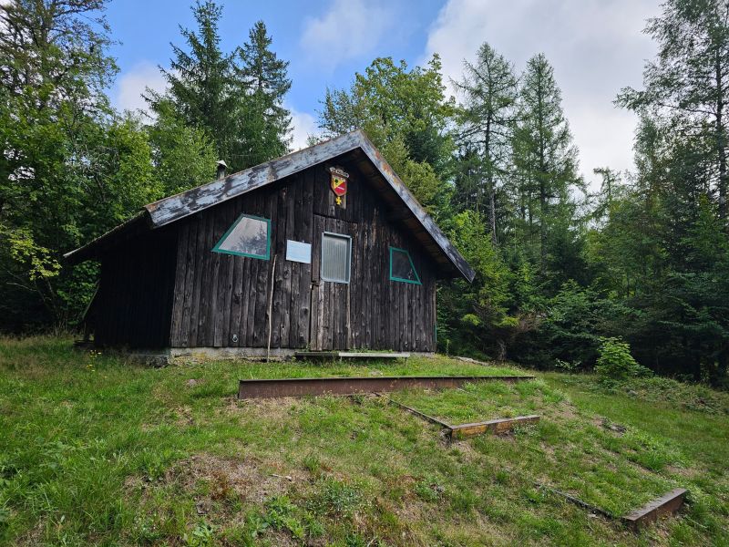
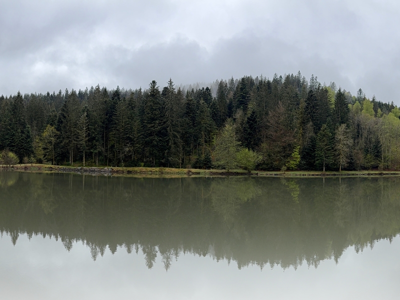
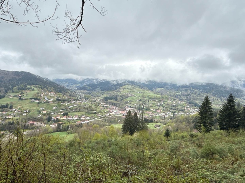
Starting from Saint-Maurice-sur-Moselle, this route takes you as far as the Etang du Frac, offering a beautiful alternation of paths and tracks through varied landscapes. After a quick crossing of the valley to reach Fresse-sur-Moselle, a long climb will take you to the Borne des Trois Communes, before descending back to the starting point. All in all, a very fine intermediate-level route, perfect for a complete trail outing.
The characteristics of the route.

Saint-Maurice-sur-Moselle (88)
- Distance 16.21 km
- Elevation gain 680 m
- Elevation lost 680 m
- Min. elevation 505 m
- Max. elevation. 851 m
- Duration (depending on pace) 1h40 à 3h20
- Suivre le balisage Trail-running n°4 blue + Hiking

Report a problem
Pdf file route 4 Routes in your mobile phone
Find all the routes of the Espace Trail des Ballons des Vosges free of charge on your smartphone using Trail Connect app, in ‘Outdoor Destinations’ section.
Features available :
- Geolocation at any time on the map and elevation profile
- Download data for consultation even in offline mode
- View trail opening status
- Download GPX file
- 'Go to start’ button for easy access to the start of the routes
- ...

Add your time and share your feelings


Follow us on
the digital trails
the digital trails

![]()
Office de tourisme Communautaire
des Ballons des Hautes Vosges
www.ballons-hautes-Vosges.com
03 56 11 00 90
 Espace Trail des Ballons des Vosges - Parcours - Route 4 - Le tour des abris
Hello, world! This is a toast message.
Espace Trail des Ballons des Vosges - Parcours - Route 4 - Le tour des abris
Hello, world! This is a toast message.
Espace Trail des Ballons des Vosges - Parcours - Route 4 - Le tour des abris
Hello, world! This is a toast message.


OK
Annuler